Old Maps of Dyersburg, Tennessee for Genealogy
Trace your family roots with 27 historic maps of Dyersburg. These high-res maps reveal old neighborhoods, homesites, landmarks, and streets — helping you uncover where your ancestors lived and how the area evolved over time.
- Explore historic neighborhoods: Identify where your relatives may have lived in the 1800s or 1900s.
- Compare maps over time: Trace the changes in streets, buildings, and landmarks for multi-generational research.
- Perfect for genealogy & ancestry research: Used by family historians and researchers to map out lineage and migration.
These maps are an incredible resource for exploring your personal connection to Dyersburg's past.
Dyersburg, TN maps
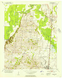
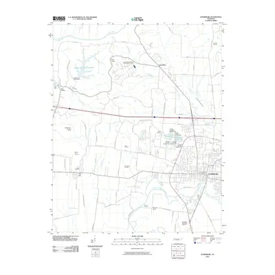
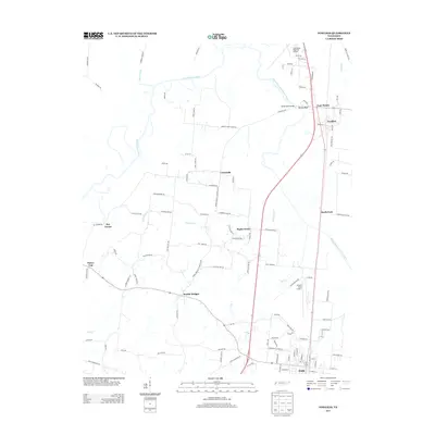
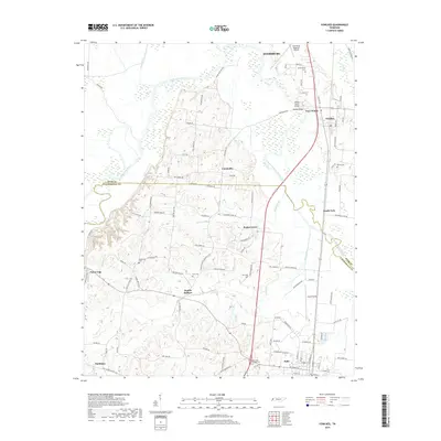
(27)- 1939 Map of Dyersburg, 1943 Print
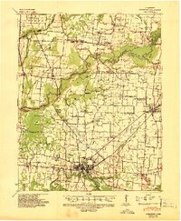 1939 Dyersburg1943 Print · USGSDyer and Obion Counties in the late thirties are shown here as a landscape of river-bottom farms and emerging rail hubs. Genealogists can trace family roots through numerous local landmarks like Springhill Ch & Cem, Viar Sch, and the Illinois Central corridor.2 unique versions available
 - 1939 Map of Halls, 1943 Print
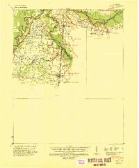 1939 Halls1943 Print · USGSLauderdale and Dyer Counties are mapped here during the late 1930s as the river-and-rail economy shaped West Tennessee life. Genealogists and researchers can trace the rural communities of Unionville, Fowlkes, and Key Corner, alongside landmark sites like Charles Chapel and the Nankipoo Sch.
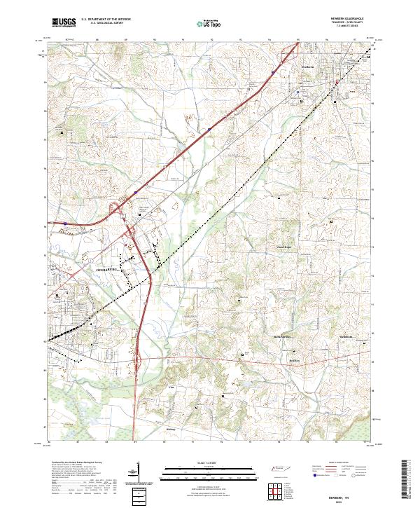
 - 1952 Map of Newbern, 1953 Print
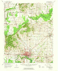
 1952 Newbern1953 Print · USGSDyer County is documented in the early 1950s as a thriving rail and agricultural landscape shaped by two major rail lines. Genealogists can locate family landmarks like the Gauldin Cem or Pierce Cem and study rural centers like Newbern and RoEllen.2 unique versions available
 - 1952 Map of Dyersburg, 1953 Print
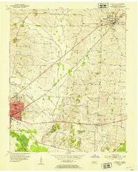
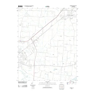
 1952 Dyersburg1953 Print · USGSDyer County is seen here during the early fifties, centering on the growing industrial hub of Dyersburg. Genealogists and researchers can trace family landmarks and rural institutions like Neely Chapel Cemetery, Burnt Chapel School, and Big Boy Junction.2 unique versions available
 - 1952 Map of Fowlkes, 1954 Print
 1952 Fowlkes1954 Print · USGSDyer and Lauderdale counties in the early fifties reveal a landscape defined by the winding South Fork Forked Deer River and the Illinois Central rail line. Researchers can trace rural lineages through sites like Williams Chapel, King Cem, and the expansive U S Military Reservation.2 unique versions available
 - 1956 Map of Dyersburg, 1960 Print
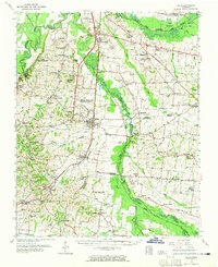
 1956 Dyersburg1960 Print · USGSThe Four Rivers region comes alive in the mid-fifties, capturing the intricate borderlands of Tennessee, Kentucky, and Missouri. Genealogists and historians can trace the rail-and-river networks connecting Dyersburg, Caruthersville, and the shoreline of Reelfoot Lake.4 unique versions available
 - 1956 Map of Blytheville, 1964 Print
 1956 Blytheville1964 Print · USGSWest Tennessee and the Arkansas Delta come alive in this mid-century survey of the river-and-rail corridor connecting Memphis to Jackson. Genealogists and historians can trace the rail lines of the Louisville and Nashville RR and locate landmarks like Western State Hospital or Fort Pillow State Prison Farm.2 unique versions available
 - 1959 Map of Blytheville
 1959 Blytheville1959 Print · USGSWest Tennessee and Northeast Arkansas meet along the river in the late fifties, during a period of steady industrial and agricultural growth. Genealogists can trace the rail corridors of the Illinois Central through Jackson or explore landmarks like Shiloh National Military Park and Fort Pillow State Prison.
 - 1961 Map of Halls, 1965 Print
 1961 Halls1965 Print · USGSLauderdale and Dyer counties are shown in the early sixties as the West Tennessee landscape hummed with activity along the Illinois Central tracks. Researchers can trace rural lineages through dozens of named sites like Miller Chapel Cem, Benton Sch, and the U. S. Military Reservation.
 - 1961 Map of Dyersburg, 1965 Print
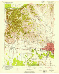
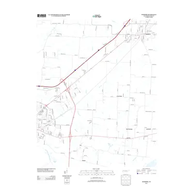
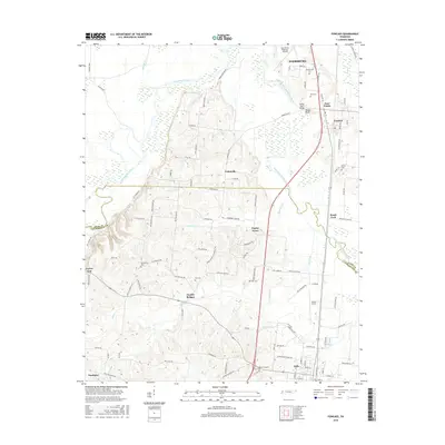
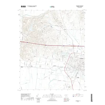
 1961 Dyersburg1965 Print · USGSDyer County at the start of the sixties reveals a thriving rail-and-river hub centered on the growing city of Dyersburg. Researchers can trace family roots through numerous rural landmarks like Bruces Chapel, Cloverdale Sch, and the Newbern Cem.
 - 1983 Map of Dyersburg
 1983 Dyersburg1983 Print · USGSSpanning the Mississippi River at the start of the 1980s, this area shows the vital river-and-rail connections between Tennessee and Missouri. Researchers can trace family sites at Mount Pisgah Cemetery or study the evolving shoreline near Caruthersville and Reelfoot Lake.
 - 1986 Map of Blytheville
 1986 Blytheville1986 Print · USGSThe Arkansas-Tennessee borderlands appear here in the mid-eighties, centered on the mighty Mississippi River and its shifting islands. Trace the footprints of Blytheville Air Force Base, old river towns like Golddust, and the extensive grounds of the Fort Pillow State Prison Farm.2 unique versions available
 - 2010 Map of Fowlkes, 2010 Print
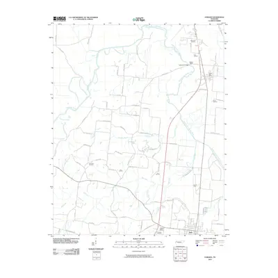 2010 Fowlkes2010 Print · USGSCovers Dyersburg, including Halls, Key Corner, and other nearby areas
 - 2010 Map of Dyersburg, 2010 Print
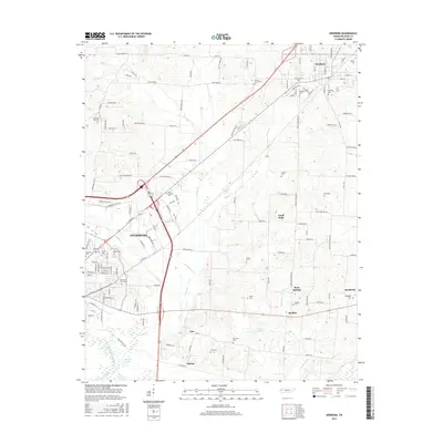
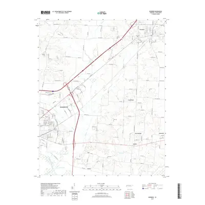
 2010 Dyersburg2010 Print · USGSCovers Dyersburg, including Jenkinsville, Middle City, and other nearby areas
 - 2010 Map of Newbern, 2010 Print
 2010 Newbern2010 Print · USGSCovers Dyersburg, including Newbern, Rehoboth, and other nearby areas
 - 2013 Map of Newbern, 2013 Print
 2013 Newbern2013 Print · USGSCovers Dyersburg, including Newbern, Rehoboth, and other nearby areas
 - 2013 Map of Dyersburg, 2013 Print
 2013 Dyersburg2013 Print · USGSCovers Dyersburg, including Jenkinsville, Middle City, and other nearby areas
 - 2013 Map of Fowlkes, 2013 Print
 2013 Fowlkes2013 Print · USGSCovers Dyersburg, including Halls, Key Corner, and other nearby areas
 - 2016 Map of Fowlkes, 2016 Print
 2016 Fowlkes2016 Print · USGSCovers Dyersburg, including Halls, Key Corner, and other nearby areas
 - 2016 Map of Newbern, 2016 Print
 2016 Newbern2016 Print · USGSCovers Dyersburg, including Newbern, Rehoboth, and other nearby areas
 - 2016 Map of Dyersburg, 2016 Print
 2016 Dyersburg2016 Print · USGSCovers Dyersburg, including Jenkinsville, Middle City, and other nearby areas
 - 2019 Map of Fowlkes, 2019 Print
 2019 Fowlkes2019 Print · USGSCovers Dyersburg, including Halls, Key Corner, and other nearby areas
 - 2019 Map of Newbern, 2019 Print
 2019 Newbern2019 Print · USGSCovers Dyersburg, including Newbern, Rehoboth, and other nearby areas
 - 2019 Map of Dyersburg, 2019 Print
 2019 Dyersburg2019 Print · USGSCovers Dyersburg, including Jenkinsville, Middle City, and other nearby areas
 - 2022 Map of Newbern, 2022 Print
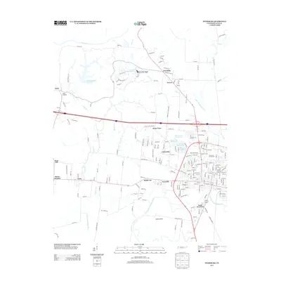
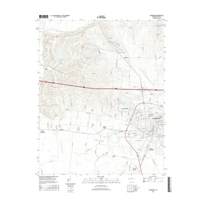
 2022 Newbern2022 Print · USGSDyer County is documented here at a moment when established urban centers and rural hamlets like RoEllen and Viar remain connected by historic creek-side routes. Researchers can trace ancestral locations through a dense network of burial sites, including Poplar Grove Cem, Self Cem, and Memorial Park Cem.
Showing maps 1-25 of 27
Top cities near Dyersburg
- Newbern historical maps
- Halls historical maps
- Ridgely historical maps
- Obion historical maps
- Gates historical maps
- Maury City historical maps
See more
Top neighborhoods of Dyersburg
Frequently asked questions
- What are the different types of historical maps available for Dyersburg?
- What is the oldest map of Dyersburg?
- Where can I purchase historical maps of Dyersburg for my home or office?
- Where can I download high-res historical maps of Dyersburg?
- Are there historical topographic maps available for Dyersburg?
- Is there historical aerial imagery available for Dyersburg?
- Where are historical maps of Dyersburg sourced from?