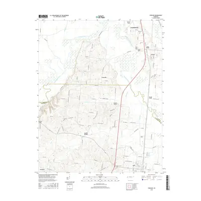
2016 Map of Fowlkes
USGS Topo · Published 2016About this map
The Forked Deer River and its South Fork define the topography of this West Tennessee region near the border of Dyer and Lauderdale counties. The landscape is marked by a series of small, established rural communities including Fowlkes, Double Bridges, and Poplar Grove, connected by a network of local roads such as Unionville Rd and Chambers Creek Rd. Higher ground is found at Yellow Bluff and Porter Gap, providing a contrast to the river bottomlands.
Find a feature on this map
101 named features on this map. Tap any name to fly to it.
Don’t see what you’re looking for? This feature index may not catch every label — zoom into the map to look around manually.
Map Details
Editions of this 2016 Fowlkes Map
This is the sole edition of this map. No revisions or reprints were ever made.
Other maps of this area

1939 · Dyersburg
USGS Topo · 1:62,500

1939 · Hales Point
USGS Topo · 1:62,500

1939 · Caruthersville
USGS Topo · 1:62,500

1939 · Halls
USGS Topo · 1:62,500

1951 · Caruthersville
USGS Topo · 1:62,500

1952 · Hales Point
USGS Topo · 1:62,500

1952 · Gates
USGS Topo · 1:24,000

1952 · Bonicord
USGS Topo · 1:24,000

1952 · Newbern
USGS Topo · 1:24,000

1952 · Dyersburg
USGS Topo · 1:24,000