Old Maps of Lambert, Tennessee
Explore 10 old maps of Lambert, spanning from 1952 to today. These high-resolution historic maps reveal how streets, neighborhoods, landmarks, and natural features evolved over time — perfect for genealogy, metal detecting, research, and local history exploration.
What you can do with these maps:
- See how Lambert changed over time: Compare historical maps to modern-day views to trace roads, homesites, rail lines & more.
- View detailed metadata: Each map includes creators, publishers, year, scale, and archive source.
- Overlay maps with satellite & LiDAR: Visualize the past alongside modern tools to explore terrain & human change.
- Trusted historical sources: Maps sourced from the USGS, Library of Congress, and other archives.
- Access maps your way: View online, download high-res files, or order prints for personal or research use.
Start exploring old maps of Lambert to uncover forgotten places, hidden landmarks, and the deep history beneath your feet.
Lambert, TN maps
(10)- 1952 Map of Lambert
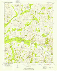 1952 Lambert1952 Print · USGSMid-century Fayette County comes into focus through this 1952 survey of the Loosahatchie River drainage systems. Genealogists and historians can trace numerous family burial grounds and country schools like Mablin Quarter Cem and Travelers Rest Sch.2 unique versions available
 - 1952 Map of Stanton, 1958 Print
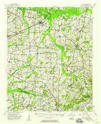 1952 Stanton1958 Print · USGSMid-century West Tennessee comes to life here as the rail-driven town of Stanton and the crossroads at Dancyville anchor a landscape of bottomlands and family farms. Trace the roots of local communities through landmarks like Yum Yum, Gailor High Sch, and the Antioch Ch.
 - 1956 Map of Blytheville, 1964 Print
 1956 Blytheville1964 Print · USGSWest Tennessee and the Arkansas Delta come alive in this mid-century survey of the river-and-rail corridor connecting Memphis to Jackson. Genealogists and historians can trace the rail lines of the Louisville and Nashville RR and locate landmarks like Western State Hospital or Fort Pillow State Prison Farm.2 unique versions available
 - 1959 Map of Blytheville
 1959 Blytheville1959 Print · USGSWest Tennessee and Northeast Arkansas meet along the river in the late fifties, during a period of steady industrial and agricultural growth. Genealogists can trace the rail corridors of the Illinois Central through Jackson or explore landmarks like Shiloh National Military Park and Fort Pillow State Prison.
 - 1986 Map of Memphis East
 1986 Memphis East1986 Print · USGSWest Tennessee in the mid-eighties shows the meeting point of Memphis suburban growth and the deep bottomlands of the Hatchie River. Genealogists and historians can trace rail-town development along the Southern Railway and locate major landmarks like Ames Plantation and the U S Naval Air Station.2 unique versions available
 - 2010 Map of Lambert, 2010 Print
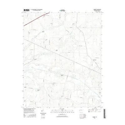
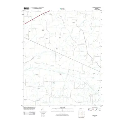 2010 Lambert2010 Print · USGSCovers Lambert, including Somerville, Feathers Chapel, and other nearby areas
 - 2013 Map of Lambert, 2013 Print
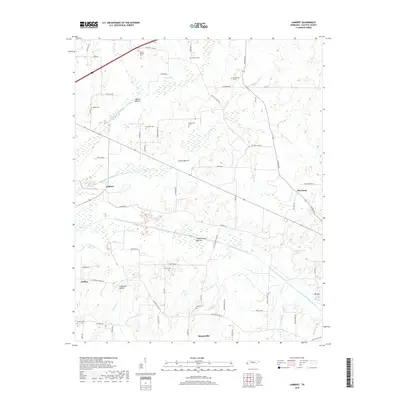
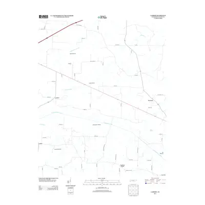 2013 Lambert2013 Print · USGSCovers Lambert, including Somerville, Feathers Chapel, and other nearby areas
 - 2016 Map of Lambert, 2016 Print
 2016 Lambert2016 Print · USGSCovers Lambert, including Somerville, Feathers Chapel, and other nearby areas
 - 2019 Map of Lambert, 2019 Print
 2019 Lambert2019 Print · USGSCovers Lambert, including Somerville, Feathers Chapel, and other nearby areas
 - 2022 Map of Lambert, 2022 Print
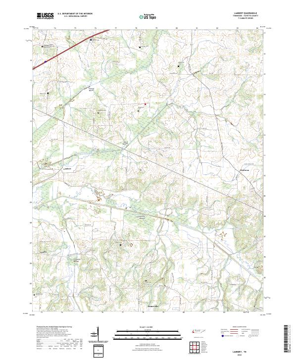 2022 Lambert2022 Print · USGSFayette County's rural landscape is captured here in the early twenty-first century, showing a region defined by extensive canal engineering and scattered family settlements. Genealogists can trace family heritage through sites like Maclin Quarter Cem, Patterson Cem, and the Belmont Christian Methodist Episcopal Church Cem.
End of results
Showing maps 1-10 of 10
Top cities near Lambert
- Memphis historical maps
- Collierville historical maps
- Lakeland historical maps
- Brownsville historical maps
- Covington historical maps
- Oakland historical maps
See more
Frequently asked questions
- What are the different types of historical maps available for Lambert?
- What is the oldest map of Lambert?
- Where can I purchase historical maps of Lambert for my home or office?
- Where can I download high-res historical maps of Lambert?
- Are there historical topographic maps available for Lambert?
- Is there historical aerial imagery available for Lambert?
- Where are historical maps of Lambert sourced from?