Old Maps of Brownsville, Tennessee
Explore 19 old maps of Brownsville, spanning from 1950 to today. These high-resolution historic maps reveal how streets, neighborhoods, landmarks, and natural features evolved over time — perfect for genealogy, metal detecting, research, and local history exploration.
What you can do with these maps:
- See how Brownsville changed over time: Compare historical maps to modern-day views to trace roads, homesites, rail lines & more.
- View detailed metadata: Each map includes creators, publishers, year, scale, and archive source.
- Overlay maps with satellite & LiDAR: Visualize the past alongside modern tools to explore terrain & human change.
- Trusted historical sources: Maps sourced from the USGS, Library of Congress, and other archives.
- Access maps your way: View online, download high-res files, or order prints for personal or research use.
Start exploring old maps of Brownsville to uncover forgotten places, hidden landmarks, and the deep history beneath your feet.
Brownsville, TN maps
(19)- 1950 Map of Sunnyhill, 1981 Print
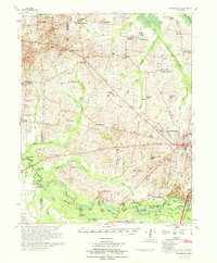
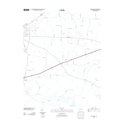
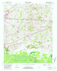 1950 Sunnyhill1981 Print · USGSMid-century Haywood County comes into focus as the Hatchie River winds through the bottomlands. Genealogists can trace family connections at Beech Grove Cem and Rosenwald Cem or locate old school sites like Springfield Sch.2 unique versions available
 - 1950 Map of Brownsville, 1983 Print
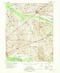
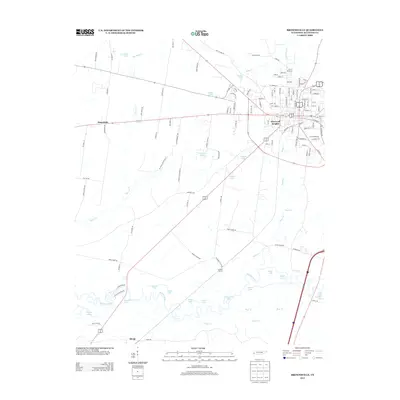
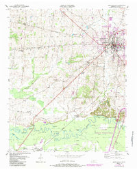 1950 Brownsville1983 Print · USGSBrownsville and the surrounding Haywood County countryside appear here in the mid-twentieth century, featuring the town's growth and the river bottom's wetlands. Researchers can locate the SEABOARD rail line, rural landmarks like Cuthbert Switch, and the sprawling Hatchie National Wildlife Refuge.
 - 1951 Map of Brownsville
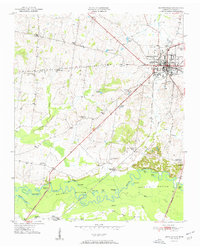 1951 Brownsville1951 Print · USGSBrownsville was a thriving railroad hub and agricultural center in the early fifties, anchored by the Broadway of America. Genealogists can trace the rural landscape through Oakwood Cem, Shepp (Shepards Sta), and local schools like Cuthbert Switch Sch.3 unique versions available
 - 1951 Map of Sunnyhill
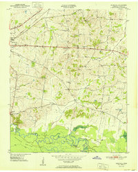 1951 Sunnyhill1951 Print · USGSWest Tennessee’s rural landscape unfolds around Brownsville in the early fifties, where the town’s eastern expansion meets the wetlands of the Hatchie. Family historians can trace local roots through sites like Springfield Sch, Marvin Chapel, and the Knights of Pythias Cem.
 - 1956 Map of Blytheville, 1964 Print
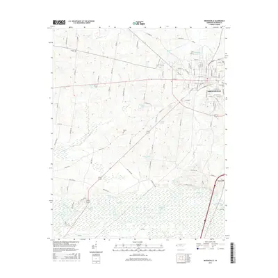
 1956 Blytheville1964 Print · USGSWest Tennessee and the Arkansas Delta come alive in this mid-century survey of the river-and-rail corridor connecting Memphis to Jackson. Genealogists and historians can trace the rail lines of the Louisville and Nashville RR and locate landmarks like Western State Hospital or Fort Pillow State Prison Farm.2 unique versions available
 - 1959 Map of Blytheville
 1959 Blytheville1959 Print · USGSWest Tennessee and Northeast Arkansas meet along the river in the late fifties, during a period of steady industrial and agricultural growth. Genealogists can trace the rail corridors of the Illinois Central through Jackson or explore landmarks like Shiloh National Military Park and Fort Pillow State Prison.
 - 1970 Map of Brownsville
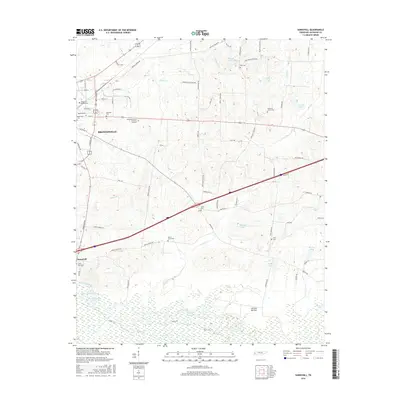
 1970 Brownsville1970 Print · USGSHaywood County in the late sixties and early seventies is defined by its deep river bottomlands and scattered rural crossroads. Genealogists and researchers can trace family landmarks and vanished schools like Nutbush, Durhamville, and the Flag Grove Sch.
 - 1970 Map of Bells
 1970 Bells1970 Print · USGSWest Tennessee river bottoms and upland farms come alive in this 1970s survey of the Haywood and Crockett county border. Researchers can trace historic family burial sites at Magnolia Cem and Hess Cem or locate vanished local schools such as Bradford Sch.
 - 1986 Map of Blytheville
 1986 Blytheville1986 Print · USGSThe Arkansas-Tennessee borderlands appear here in the mid-eighties, centered on the mighty Mississippi River and its shifting islands. Trace the footprints of Blytheville Air Force Base, old river towns like Golddust, and the extensive grounds of the Fort Pillow State Prison Farm.2 unique versions available
 - 2010 Map of Brownsville, 2010 Print
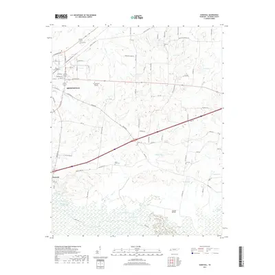
 2010 Brownsville2010 Print · USGSCovers Brownsville, including Macedonia, Shepp, and other nearby areas
 - 2010 Map of Sunnyhill, 2010 Print
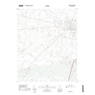
 2010 Sunnyhill2010 Print · USGSCovers Brownsville, including Willow Grove, Sunnyhill, and other nearby areas
 - 2013 Map of Sunnyhill, 2013 Print
 2013 Sunnyhill2013 Print · USGSCovers Brownsville, including Willow Grove, Sunnyhill, and other nearby areas
 - 2013 Map of Brownsville, 2013 Print
 2013 Brownsville2013 Print · USGSCovers Brownsville, including Macedonia, Shepp, and other nearby areas
 - 2016 Map of Brownsville, 2016 Print
 2016 Brownsville2016 Print · USGSCovers Brownsville, including Macedonia, Shepp, and other nearby areas
 - 2016 Map of Sunnyhill, 2016 Print
 2016 Sunnyhill2016 Print · USGSCovers Brownsville, including Willow Grove, Sunnyhill, and other nearby areas
 - 2019 Map of Brownsville, 2019 Print
 2019 Brownsville2019 Print · USGSCovers Brownsville, including Macedonia, Shepp, and other nearby areas
 - 2019 Map of Sunnyhill, 2019 Print
 2019 Sunnyhill2019 Print · USGSCovers Brownsville, including Willow Grove, Sunnyhill, and other nearby areas
 - 2022 Map of Sunnyhill, 2022 Print
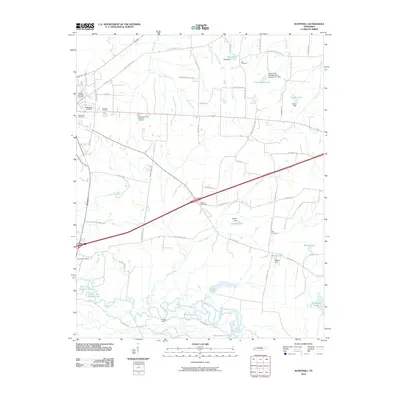
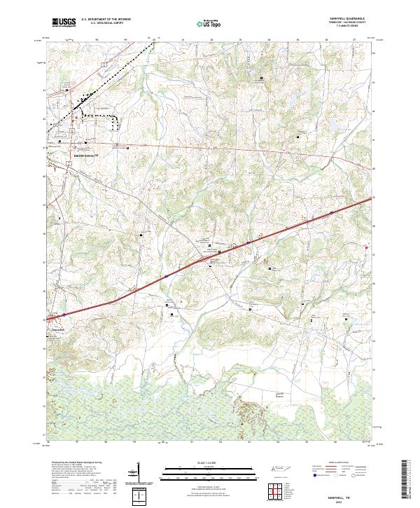 2022 Sunnyhill2022 Print · USGSHaywood County during the early 2020s reveals a landscape where the urban outskirts of BROWNSVILLE give way to the wetlands of the Hatchie River. Genealogists can trace a remarkable concentration of family and church burial sites, from the Anthony Farm Cem to the Upper Salem Missionary Baptist Church Cem.
 - 2022 Map of Brownsville, 2022 Print
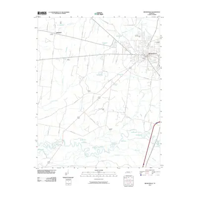
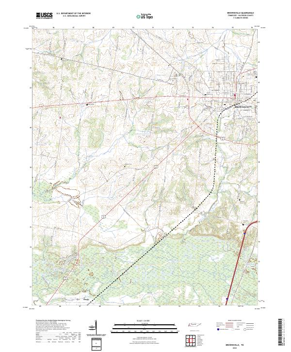 2022 Brownsville2022 Print · USGSBrownsville and the surrounding Haywood County landscape appear in the early 2020s, showing the town's growth toward the Hatchie River wetlands. Family historians can locate numerous burial sites like Tallaferro Cem and Adas Israel Cem near the river's edge at Moon Lake.
End of results
Showing maps 1-19 of 19
Top cities near Brownsville
Top neighborhoods of Brownsville
Frequently asked questions
- What are the different types of historical maps available for Brownsville?
- What is the oldest map of Brownsville?
- Where can I purchase historical maps of Brownsville for my home or office?
- Where can I download high-res historical maps of Brownsville?
- Are there historical topographic maps available for Brownsville?
- Is there historical aerial imagery available for Brownsville?
- Where are historical maps of Brownsville sourced from?