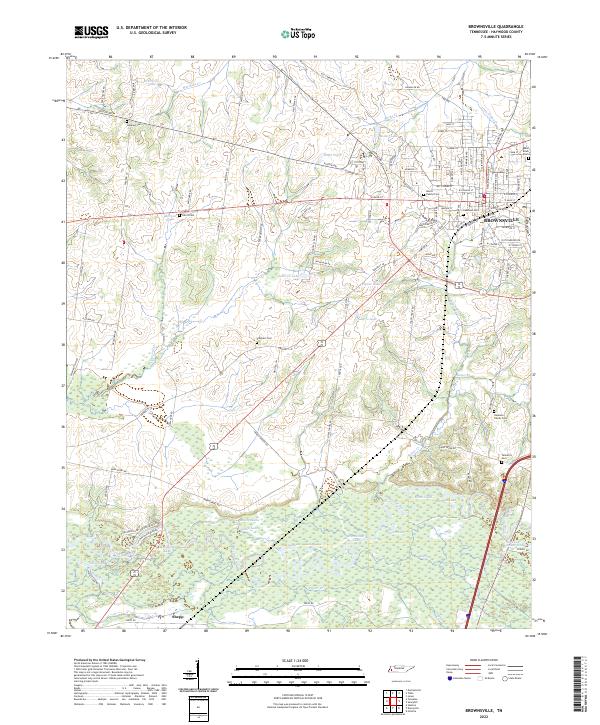
2022 Map of Brownsville
USGS Topo · Published 2022About this map
Brownsville serves as the focal point for this section of West Tennessee, where the grid of city streets transitions into the complex wetlands of the Hatchie River bottomlands. The southern portion of the map is dominated by an intricate network of oxbow lakes and sloughs, including Moon Lake, Bullpen Lake, and Horseshoe Lake, illustrating the dynamic nature of the river's flood plain. The agricultural uplands surrounding the city are dotted with numerous small family and community burial grounds, such as the Adas Israel Cem and the Bond Family Cem, which offer significant value for genealogical research. Small rural nodes like Shepp are connected by a web of local roads such as Fulton Rd and Shaw Chapel Rd, tracing the historical settlement patterns of Haywood County. The landscape is further defined by various named ponds and lakes, including Berson Lake and Smith Pond, which suggest a long history of local water management for agriculture and recreation.
Find a feature on this map
120 named features on this map. Tap any name to fly to it.
Don’t see what you’re looking for? This feature index may not catch every label — zoom into the map to look around manually.
Map Details
Editions of this 2022 Brownsville Map
This is the sole edition of this map. No revisions or reprints were ever made.
Other maps of this area

1950 · Sunnyhill
USGS Topo · 1:24,000

1950 · Brownsville
USGS Topo · 1:24,000

1951 · Brownsville
USGS Topo · 1:24,000

1951 · Sunnyhill
USGS Topo · 1:24,000

1952 · Stanton
USGS Topo · 1:24,000

1952 · Dancyville
USGS Topo · 1:24,000

1952 · Stanton
USGS Topo · 1:62,500

1956 · Blytheville
USGS Topo · 1:250,000

1959 · Blytheville
USGS Topo · 1:250,000

1959 · Hillville
USGS Topo · 1:24,000