Old Maps of Piperton, Tennessee for Hiking & Exploration
Hike through history with 36 historic maps of Piperton. Explore old trails, ghost towns, and forgotten backroads — perfect for outdoor adventurers and local explorers.
- Rediscover forgotten places: Map out old mining camps, roads, and footpaths that no longer exist on modern maps.
- Layer with modern tools: Combine with LiDAR or satellite views to plan hikes through historical terrain.
- Made for exploration: Popular among hikers, overlanders, and local history lovers.
Use these maps to find adventure and explore the hidden past of Piperton.
Piperton, TN maps
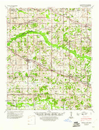
(36)- 1943 Map of Collierville, 1964 Print
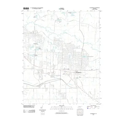
 1943 Collierville1964 Print · USGSThe rural borderlands of Shelby and Fayette counties are captured here in the early 1940s, anchored by the rail hubs of Collierville and Rossville. Genealogists can trace family roots through numerous sites like Augusta Rosenwald Sch, Magnolia Cem, and Morning Sun Ch & Cem.
 - 1948 Map of Byhalia
 1948 Byhalia1948 Print · USGSMarshall County in the late 1940s is captured here as a thriving network of small settlements and rail-side towns. Genealogists and historians can trace family locations through numerous rural landmarks like Shelby Ch & Cem, Red Banks, and the Marshall Inst Ch.3 unique versions available
 - 1953 Map of Collierville
 1953 Collierville1953 Print · USGSThe rural borderlands of Shelby and Fayette counties are captured here in the early fifties, showing a landscape of river bottoms and rail-side hamlets. Genealogists can locate family landmarks like Chambers Chapel & Cem, Hickory Withe Sta, and Morning Sun Ch & Cem.
 - 1956 Map of Blytheville, 1964 Print
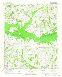
 1956 Blytheville1964 Print · USGSWest Tennessee and the Arkansas Delta come alive in this mid-century survey of the river-and-rail corridor connecting Memphis to Jackson. Genealogists and historians can trace the rail lines of the Louisville and Nashville RR and locate landmarks like Western State Hospital or Fort Pillow State Prison Farm.2 unique versions available
 - 1956 Map of Tupelo, 1967 Print
 1956 Tupelo1967 Print · USGSNortheast Mississippi and parts of Tennessee and Alabama are shown here during the mid-fifties, a time of major reservoir construction and forestry management. Researchers can trace the St Louis-San Francisco RR through Tupelo or locate historic sites like Tishomingo State Park and the University.2 unique versions available
 - 1958 Map of Tupelo
 1958 Tupelo1958 Print · USGSNortheast Mississippi and neighboring Alabama and Tennessee appear here during the late fifties as a region defined by new reservoirs and historic rail lines. Genealogists can trace family locations near Sardis Lake, Woodall Mountain, and the St Louis-San Francisco Ry.
 - 1959 Map of Blytheville
 1959 Blytheville1959 Print · USGSWest Tennessee and Northeast Arkansas meet along the river in the late fifties, during a period of steady industrial and agricultural growth. Genealogists can trace the rail corridors of the Illinois Central through Jackson or explore landmarks like Shiloh National Military Park and Fort Pillow State Prison.
 - 1965 Map of Rossville, 1966 Print
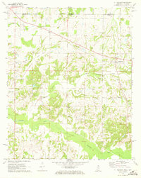
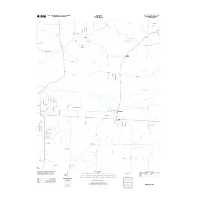
 1965 Rossville1966 Print · USGSFayette County in the mid-sixties reveals a landscape defined by the WOLF RIVER and the SOUTHERN rail line. Genealogists and researchers can trace numerous family-named landmarks, from Hunter Cem and Walker Cem to Philadelphia Ch and St Luke Sch.3 unique versions available
 - 1965 Map of Collierville, 1966 Print
 1965 Collierville1966 Print · USGSCollierville and the surrounding Shelby County countryside are captured here in the mid-1960s as the town grew along the SOUTHERN railroad. Genealogists can locate family landmarks like Abington Cem, St Pauls Ch, and the rural community of Bailey.4 unique versions available
 - 1968 Map of Collierville
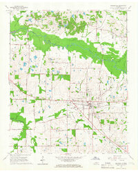
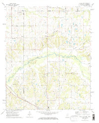
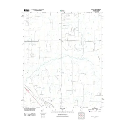
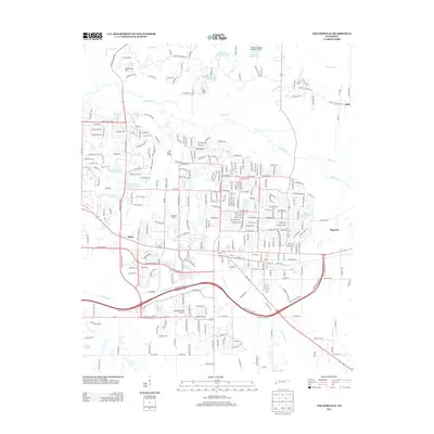
 1968 Collierville1968 Print · USGSThe Shelby and Fayette county line comes alive in the late sixties, showing the rail-centered growth of Collierville and Piperton. Genealogists can locate family landmarks like Brooks Chapel, Mebane Cem, and the Morris Lookout Tower near the river.
 - 1971 Map of Mt. Pleasant, 1973 Print
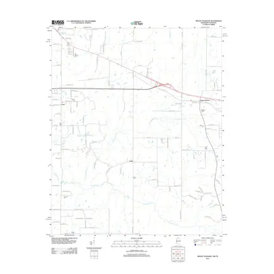
 1971 Mt. Pleasant1973 Print · USGSThe Tennessee-Mississippi borderlands appear here in the early 1970s, showing a rural landscape of small churches and family burial sites. Researchers can trace local history through features like Mt Pleasant, Carey Chapel, and Carington Cem along the Coldwater River.
 - 1971 Map of Byhalia NW, 1973 Print
 1971 Byhalia NW1973 Print · USGSThe Tennessee-Mississippi borderlands appear in the early 1970s as a landscape of small rural settlements and winding river bottoms. Genealogists can locate family landmarks like Handy Corner, McGehee Cem, and the St Louis San Francisco rail line.2 unique versions available
 - 1984 Map of Tupelo
 1984 Tupelo1984 Print · USGSNorth Mississippi in the 1980s is defined by its massive river basin reservoirs and the growing regional hubs of Tupelo and Oxford. Researchers can trace the legacy of the Pontotoc Ridge, find the University of Mississippi, and map early Interstate corridors near Sardis Lake.3 unique versions available
 - 1986 Map of Memphis East
 1986 Memphis East1986 Print · USGSWest Tennessee in the mid-eighties shows the meeting point of Memphis suburban growth and the deep bottomlands of the Hatchie River. Genealogists and historians can trace rail-town development along the Southern Railway and locate major landmarks like Ames Plantation and the U S Naval Air Station.2 unique versions available
 - 2010 Map of Rossville, 2010 Print
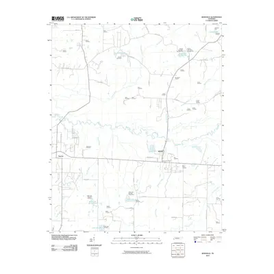 2010 Rossville2010 Print · USGSCovers Piperton, including Rossville, New Bethel, and other nearby areas
 - 2010 Map of Byhalia NW, 2010 Print
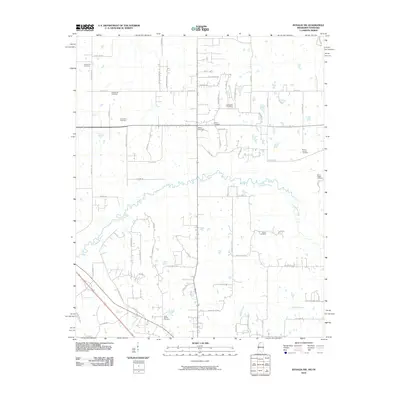 2010 Byhalia NW2010 Print · USGSCovers Piperton, including Byhalia, Handy Corner, and other nearby areas
 - 2010 Map of Mount Pleasant, 2010 Print
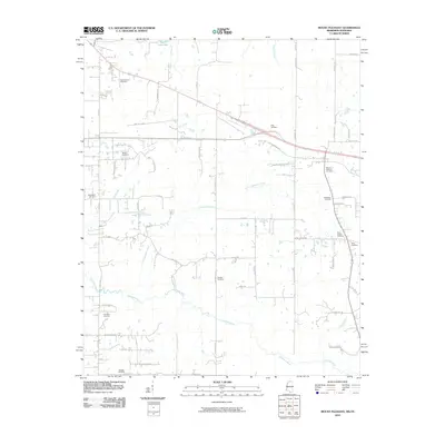 2010 Mount Pleasant2010 Print · USGSCovers Piperton, including Cayce, Taska, and other nearby areas
 - 2010 Map of Collierville, 2010 Print
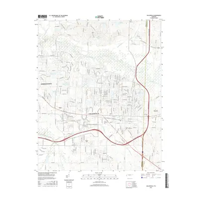
 2010 Collierville2010 Print · USGSCovers Piperton, including Collierville, Germantown, and other nearby areas
 - 2012 Map of Byhalia NW, 2012 Print
 2012 Byhalia NW2012 Print · USGSCovers Piperton, including Byhalia, Handy Corner, and other nearby areas
 - 2012 Map of Mount Pleasant, 2012 Print
 2012 Mount Pleasant2012 Print · USGSCovers Piperton, including Cayce, Taska, and other nearby areas
 - 2013 Map of Rossville, 2013 Print
 2013 Rossville2013 Print · USGSCovers Piperton, including Rossville, New Bethel, and other nearby areas
 - 2013 Map of Collierville, 2013 Print
 2013 Collierville2013 Print · USGSCovers Piperton, including Collierville, Germantown, and other nearby areas
 - 2015 Map of Byhalia NW, 2015 Print
 2015 Byhalia NW2015 Print · USGSCovers Piperton, including Byhalia, Handy Corner, and other nearby areas
 - 2015 Map of Mount Pleasant, 2015 Print
 2015 Mount Pleasant2015 Print · USGSCovers Piperton, including Cayce, Taska, and other nearby areas
 - 2016 Map of Collierville, 2016 Print
 2016 Collierville2016 Print · USGSCovers Piperton, including Collierville, Germantown, and other nearby areas
Showing maps 1-25 of 36
Top cities near Piperton
- Memphis historical maps
- Bartlett historical maps
- Collierville historical maps
- Germantown historical maps
- Olive Branch historical maps
- Lakeland historical maps
See more
Frequently asked questions
- What are the different types of historical maps available for Piperton?
- What is the oldest map of Piperton?
- Where can I purchase historical maps of Piperton for my home or office?
- Where can I download high-res historical maps of Piperton?
- Are there historical topographic maps available for Piperton?
- Is there historical aerial imagery available for Piperton?
- Where are historical maps of Piperton sourced from?