Old Maps of Three Forks, Tennessee for Metal Detecting
Plan your next treasure hunt with 11 historic maps of Three Forks. Find old homesites, ghost towns, trails, and gathering spots that may be lost to time — perfect for identifying promising metal detecting locations.
- Locate forgotten sites: Uncover places like long-lost settlements, abandoned rail lines, or gathering spots.
- Plan better hunts: Use map overlays combined with LiDAR or satellite views to narrow in on historically rich areas.
- Made for detectorists: Thousands of hobbyists use these maps to discover relics, coins, and hidden history.
Use these historic maps to boost your research and find new opportunities beneath the surface of Three Forks.
Three Forks, TN maps
(11)- 1928 Map of Decherd
 1928 Decherd1928 Print · USGSFranklin County in the late twenties shows a landscape defined by the rise of the Cumberland Mountains and the busy lines of the Nashville Chattanooga and St Louis Railway. Genealogists can locate family landmarks in Motlow Cove or trace students at Peabody Sch and Hatchett Sch.3 unique versions available
 - 1936 Map of Pitcher Ridge
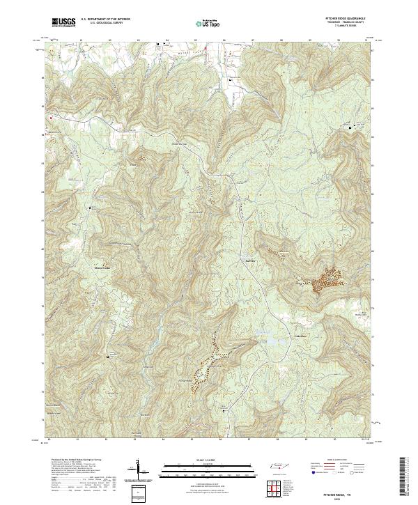
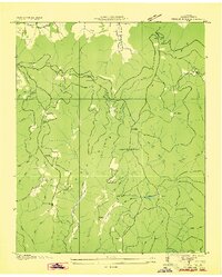 1936 Pitcher Ridge1936 Print · USGSFranklin County mountain life is detailed in this mid-1930s survey of the high plateau and its deep, spring-fed coves. Researchers can trace the footprints of highland schools like Little Mountain Sch and find remote landmarks such as the Lookout Tower and The Sinks.
 - 1948 Map of Pitcher Ridge, 1974 Print
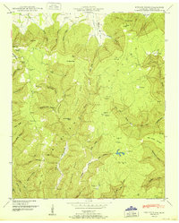
 1948 Pitcher Ridge1974 Print · USGSFranklin County's high plateau country is captured here in the late 1940s, showing a rugged landscape of isolated coves and family homesteads. Researchers can trace ancestral roots at Keith Spring School, Little Mountain Cem, or the small settlement of Sal City.3 unique versions available
 - 1951 Map of Pitcher Ridge
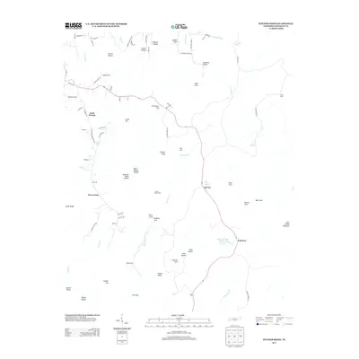
 1951 Pitcher Ridge1951 Print · USGSThe Cumberland Plateau in the early fifties was a landscape of isolated mountain hollows and tight-knit cove communities. Genealogists can trace family landmarks and local institutions like Keith Spring School, Posey Field Cem, and Sal City.
 - 1956 Map of Columbia, 1960 Print
 1956 Columbia1960 Print · USGSMiddle Tennessee in the mid-fifties presents a landscape of established river towns and critical rail hubs before the arrival of the modern interstate system. Researchers can trace the routes of the Louisville and Nashville railroad or locate historic landmarks like Stones River National Military Park and the Tennessee National Wildlife Refuge.6 unique versions available
 - 1981 Map of Tullahoma, 1982 Print
 1981 Tullahoma1982 Print · USGSSouthern Tennessee enters the 1980s with a mix of aerospace technology and deep rural roots. Researchers can trace the L & N RR through Shelbyville and Fayetteville or locate family sites like Old Salem Cem and Blanton Chapel near the Cumberland Plateau.
 - 2010 Map of Pitcher Ridge, 2010 Print
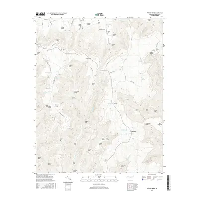
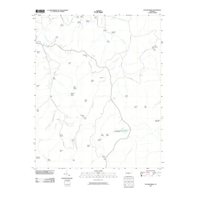 2010 Pitcher Ridge2010 Print · USGSCovers Three Forks, including Lakeview, Sal City, and other nearby areas
 - 2013 Map of Pitcher Ridge, 2013 Print
 2013 Pitcher Ridge2013 Print · USGSCovers Three Forks, including Lakeview, Sal City, and other nearby areas
 - 2016 Map of Pitcher Ridge, 2016 Print
 2016 Pitcher Ridge2016 Print · USGSCovers Three Forks, including Lakeview, Sal City, and other nearby areas
 - 2019 Map of Pitcher Ridge, 2019 Print
 2019 Pitcher Ridge2019 Print · USGSCovers Three Forks, including Lakeview, Sal City, and other nearby areas
 - 2022 Map of Pitcher Ridge, 2022 Print
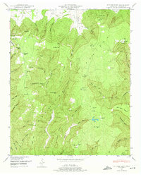
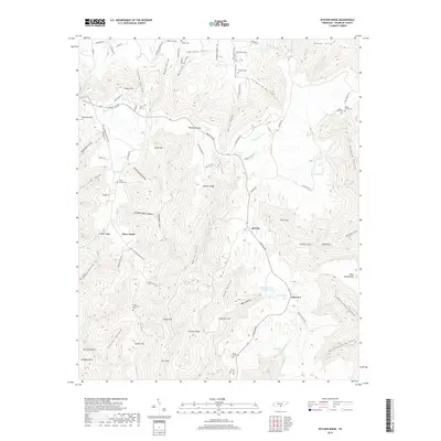
 2022 Pitcher Ridge2022 Print · USGSThe highland coves and ridges of Franklin County come into focus in this recent survey of the Tennessee mountains. Genealogists and historians can trace family lineages through numerous local burial sites like Keith Spring Cem and Holder Cem or locate the springs at Sal City.
End of results
Showing maps 1-11 of 11
Top cities near Three Forks
- Winchester historical maps
- Sewanee historical maps
- Estill Springs historical maps
- Decherd historical maps
- Stevenson historical maps
- Cowan historical maps
See more
Frequently asked questions
- What are the different types of historical maps available for Three Forks?
- What is the oldest map of Three Forks?
- Where can I purchase historical maps of Three Forks for my home or office?
- Where can I download high-res historical maps of Three Forks?
- Are there historical topographic maps available for Three Forks?
- Is there historical aerial imagery available for Three Forks?
- Where are historical maps of Three Forks sourced from?