Old Maps of China Grove, Tennessee for Metal Detecting
Plan your next treasure hunt with 8 historic maps of China Grove. Find old homesites, ghost towns, trails, and gathering spots that may be lost to time — perfect for identifying promising metal detecting locations.
- Locate forgotten sites: Uncover places like long-lost settlements, abandoned rail lines, or gathering spots.
- Plan better hunts: Use map overlays combined with LiDAR or satellite views to narrow in on historically rich areas.
- Made for detectorists: Thousands of hobbyists use these maps to discover relics, coins, and hidden history.
Use these historic maps to boost your research and find new opportunities beneath the surface of China Grove.
China Grove, TN maps
(8)- 1954 Map of Rutherford, 1955 Print
 1954 Rutherford1955 Print · USGSGibson County in the mid-1950s is a landscape of river forks and rural rail lines. Trace family history through local landmarks like China Grove Sch, Walnut Grove Ch, and the Gulf Mobile and Ohio railroad through Rutherford.3 unique versions available
 - 1956 Map of Dyersburg, 1960 Print
 1956 Dyersburg1960 Print · USGSThe Four Rivers region comes alive in the mid-fifties, capturing the intricate borderlands of Tennessee, Kentucky, and Missouri. Genealogists and historians can trace the rail-and-river networks connecting Dyersburg, Caruthersville, and the shoreline of Reelfoot Lake.4 unique versions available
 - 1986 Map of McKenzie
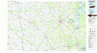 1986 McKenzie1986 Print · USGSWest Tennessee in the mid-eighties was a landscape defined by its deep river forks and the massive waters of Kentucky Lake. Researchers can trace the rail lines of the Louisville & Nashville RR and find local landmarks from Skullbone to the Paris Landing State Park.3 unique versions available
 - 2010 Map of Rutherford, 2010 Print
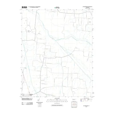 2010 Rutherford2010 Print · USGSRutherford and the surrounding Gibson County bottomlands are shown here in the early twenty-first century as the Obion River system dominates the landscape. Local historians can trace family-named sites like Connell Cemetery and Macedonia Cemetery along the winding Middle Fork Obion River.
 - 2013 Map of Rutherford, 2013 Print
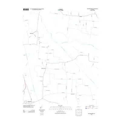 2013 Rutherford2013 Print · USGSGibson County agriculture and the intricate river forks of West Tennessee are documented here during the early twenty-first century. Genealogists and local historians can trace family road names and small communities like Walnut Grove, China Grove, and Sidonia.
 - 2016 Map of Rutherford, 2016 Print
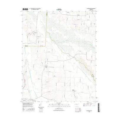 2016 Rutherford2016 Print · USGSNorthwestern Tennessee river lands come to life in this mid-2010s survey where the forks of the Obion River converge. Local historians can trace the rural layout of Rutherford and Sidonia, alongside family landmarks like Macedonia Cem and Beech Grove Cem.
 - 2019 Map of Rutherford, 2019 Print
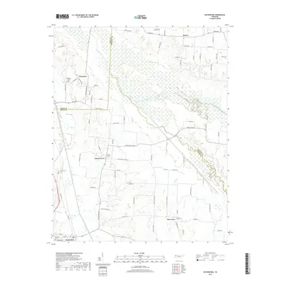 2019 Rutherford2019 Print · USGSThe river forks and bottomlands of West Tennessee define this landscape near the turn of the decade. Genealogists and local historians can trace family-named roads and rural burial sites like Pleasant Grove Cem, Macedonia, and the town of Rutherford.
 - 2022 Map of Rutherford, 2022 Print
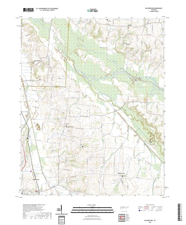 2022 Rutherford2022 Print · USGSWest Tennessee’s river bottomlands and rural communities are captured here in the 2020s. Researchers can locate family landmarks like the Keathley and Peel Family Cem, Beech Grove Cem, and the small settlement of Sidonia.
End of results
Showing maps 1-8 of 8
Top cities near China Grove
- Martin historical maps
- Trenton historical maps
- Dresden historical maps
- Dyer historical maps
- Greenfield historical maps
- Troy historical maps
See more
Frequently asked questions
- What are the different types of historical maps available for China Grove?
- What is the oldest map of China Grove?
- Where can I purchase historical maps of China Grove for my home or office?
- Where can I download high-res historical maps of China Grove?
- Are there historical topographic maps available for China Grove?
- Is there historical aerial imagery available for China Grove?
- Where are historical maps of China Grove sourced from?