
1954 Map of Rutherford
USGS Topo · Published 1955About this map
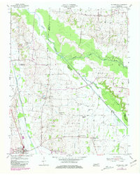
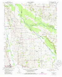
Rutherford anchor the southwestern corner of this West Tennessee landscape, where the Gulf Mobile and Ohio railroad corridor tracks alongside the South Fork Obion River. This 1954 survey captures a rural network of small-scale agriculture and community hubs defined by local churches and schools. The terrain is structured by the confluence of the Middle Fork Obion River and its southern counterpart, creating a broad, low-lying bottomland that separates the settlements of Sidonia and Macedonia in the north from the more densely settled southern townships. Genealogists will find a wealth of community landmarks, including the Lonoke Community Center, China Grove Sch, and numerous family-named spiritual centers like Walnut Grove Ch and Beech Grove Ch. The map also meticulously records local burial sites such as Pleasant Grove Cem and Keathy Cem, providing a spatial record of the three-county border region between Gibson, Obion, and Weakley.
Find a feature on this map
24 named features on this map. Tap any name to fly to it.
Don’t see what you’re looking for? This feature index may not catch every label — zoom into the map to look around manually.
Map Details
Editions of this 1954 Rutherford Map
3 editions found
Other maps of this area

1950 · Martin
USGS Topo · 1:24,000

1950 · Rives
USGS Topo · 1:24,000

1951 · Rives
USGS Topo · 1:24,000

1953 · Dyer
USGS Topo · 1:24,000

1954 · Greenfield
USGS Topo · 1:24,000

1954 · Bradford
USGS Topo · 1:24,000

1956 · Gardner
USGS Topo · 1:24,000

1956 · Dyersburg
USGS Topo · 1:250,000
1964 · Yorkville
USGS Topo · 1:24,000
1965 · Kenton
USGS Topo · 1:24,000