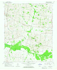
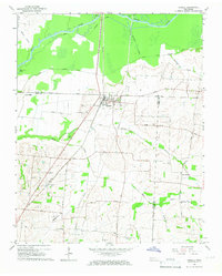
1964 Map of Yorkville
USGS Topo · Published 1967About this map
Yorkville serves as the primary hub of this Gibson County landscape, where small rural settlements and family-named landmarks define the mid-century agricultural character. The topography is dominated by the winding path of the North Fork Forked Deer River, which flows through expansive bottomlands like Horseshoe Bottom and Buzzard Roost Bottom. These low-lying areas contrast with the network of country roads, including Rutherford Road and Old State Road 77, which connect a series of community anchors.
Find a feature on this map
35 named features on this map. Tap any name to fly to it.
Don’t see what you’re looking for? This feature index may not catch every label — zoom into the map to look around manually.
Map Details
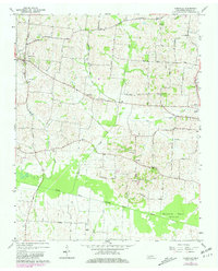
Editions of this 1964 Yorkville Map
2 editions found
Other maps of this area

1951 · Trenton
USGS Topo · 1:24,000

1953 · Dyer
USGS Topo · 1:24,000

1954 · Rutherford
USGS Topo · 1:24,000

1956 · Dyersburg
USGS Topo · 1:250,000

1956 · Blytheville
USGS Topo · 1:250,000

1959 · Blytheville
USGS Topo · 1:250,000
1964 · Brazil
USGS Topo · 1:24,000
1965 · Kenton
USGS Topo · 1:24,000
1965 · Trimble
USGS Topo · 1:24,000
1965 · Friendship
USGS Topo · 1:24,000