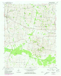
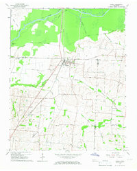
1964 Map of Yorkville
USGS Topo · Published 1981About this map
Yorkville and the surrounding agricultural lands of Gibson County are defined by a dense network of country roads and local watercourses that feed into the North Fork Forked Deer River. The landscape is etched with history, featuring numerous family and community landmarks such as Cowan Cem, Bethel Cem, and Hogue Cem. These sites, alongside local congregations at Midway Ch and Mt Olive Ch, reflect the established social fabric of this rural Tennessee region during the mid-twentieth century.
Find a feature on this map
34 named features on this map. Tap any name to fly to it.
Don’t see what you’re looking for? This feature index may not catch every label — zoom into the map to look around manually.
Map Details
Editions of this 1964 Yorkville Map
2 editions found
Other maps of this area

1951 · Trenton
USGS Topo · 1:24,000

1953 · Dyer
USGS Topo · 1:24,000

1954 · Rutherford
USGS Topo · 1:24,000

1956 · Dyersburg
USGS Topo · 1:250,000

1956 · Blytheville
USGS Topo · 1:250,000

1959 · Blytheville
USGS Topo · 1:250,000
1964 · Brazil
USGS Topo · 1:24,000
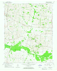
1964 · Yorkville
USGS Topo · 1:24,000
1965 · Kenton
USGS Topo · 1:24,000
1965 · Trimble
USGS Topo · 1:24,000