2000s (21st Century) Maps of Ardmore, Tennessee
Explore 6 historic maps of Ardmore from the 2000s (21st Century). These maps offer a rare glimpse into what life looked like during the 2000s — showing old roads, neighborhoods, homes, and landmarks that have changed or disappeared over time.
Whether you're researching your family's past, planning a metal detecting trip, or studying how Ardmore's landscape evolved across the 2000s, these high-resolution maps are a powerful tool for exploring the history of this region.
- Focus on a specific era: All maps on this page are from the 2000s, giving you a focused view of this time period.
- See what’s changed: Compare century-old streets, trails, and buildings to today's modern landscape using overlays and satellite layers.
- Research with precision: Use these maps for genealogy, historical research, land use analysis, or educational projects.
- View, download, or print: Maps are fully viewable online in high resolution, and can be downloaded or printed for your own records.
Start exploring Ardmore's history through authentic maps from the 2000s. This is your window into the past.
Ardmore, TN maps
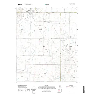
(6)- 2010 Map of Ardmore, 2010 Print
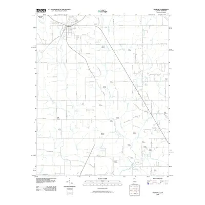 2010 Ardmore2010 Print · USGSCovers Ardmore, including Heritage Landing, Cedar Hill, and other nearby areas
 - 2011 Map of Ardmore, 2011 Print
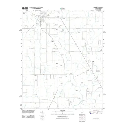 2011 Ardmore2011 Print · USGSCovers Ardmore, including Heritage Landing, Cedar Hill, and other nearby areas
 - 2014 Map of Ardmore, 2014 Print
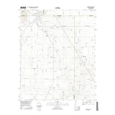 2014 Ardmore2014 Print · USGSCovers Ardmore, including Heritage Landing, Cedar Hill, and other nearby areas
 - 2018 Map of Ardmore, 2018 Print
 2018 Ardmore2018 Print · USGSCovers Ardmore, including Heritage Landing, Cedar Hill, and other nearby areas
 - 2020 Map of Ardmore, 2020 Print
 2020 Ardmore2020 Print · USGSCovers Ardmore, including Heritage Landing, Cedar Hill, and other nearby areas
 - 2024 Map of Ardmore, 2024 Print
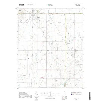
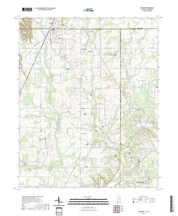 2024 Ardmore2024 Print · USGSThe Tennessee-Alabama state line cuts directly through this region, where the town of Ardmore serves as a gateway between the two states. Researchers can locate dozens of family burial sites, including the Hopwood, Tillery, and Milhous cemeteries.
End of results
Showing maps 1-6 of 6
Top cities near Ardmore
- Huntsville historical maps
- Athens historical maps
- Pulaski historical maps
- Harvest historical maps
- Ardmore historical maps
- Elkton historical maps
See more
Frequently asked questions
- What are the different types of historical maps available for Ardmore?
- What is the oldest map of Ardmore?
- Where can I purchase historical maps of Ardmore for my home or office?
- Where can I download high-res historical maps of Ardmore?
- Are there historical topographic maps available for Ardmore?
- Is there historical aerial imagery available for Ardmore?
- Where are historical maps of Ardmore sourced from?