Old Maps of Pulaski, Tennessee
Explore 19 old maps of Pulaski, spanning from 1936 to today. These high-resolution historic maps reveal how streets, neighborhoods, landmarks, and natural features evolved over time — perfect for genealogy, metal detecting, research, and local history exploration.
What you can do with these maps:
- See how Pulaski changed over time: Compare historical maps to modern-day views to trace roads, homesites, rail lines & more.
- View detailed metadata: Each map includes creators, publishers, year, scale, and archive source.
- Overlay maps with satellite & LiDAR: Visualize the past alongside modern tools to explore terrain & human change.
- Trusted historical sources: Maps sourced from the USGS, Library of Congress, and other archives.
- Access maps your way: View online, download high-res files, or order prints for personal or research use.
Start exploring old maps of Pulaski to uncover forgotten places, hidden landmarks, and the deep history beneath your feet.
Pulaski, TN maps
(19)- 1936 Map of Pulaski
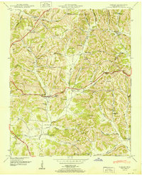
 1936 Pulaski1936 Print · USGSGiles County was undergoing a significant transformation in the mid-1930s as modern utilities arrived. Genealogists and historians can trace family roots through Peterson Cem, Goodspring Ch, and numerous rural schoolhouses like Rock City Sch.
 - 1936 Map of Tarpley
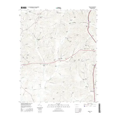
 1936 Tarpley1936 Print · USGSGiles County in the mid-1930s was a landscape of small upland farms and tightly-knit rural communities. Genealogists and local historians can trace family locations through named sites like Aymett Town, Beech Hill Sch, and Hopkins Cem.
 - 1948 Map of Tarpley, 1974 Print
 1948 Tarpley1974 Print · USGSGiles County life in the late 1940s centered on hilltop settlements and creek-side farms along Pigeon Roost Creek. Trace family roots at Beech Hill, find old churches like Rocky Mount Ch, and locate the historic Stage Road.2 unique versions available
 - 1951 Map of Pulaski
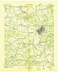
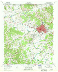
 1951 Pulaski1951 Print · USGSGiles County at mid-century reveals a landscape shaped by the Louisville and Nashville railroad and the growth of Pulaski. Genealogists can locate family landmarks such as Maplewood Cem, Anthony Hill School, and Zuccarella Cem.
 - 1951 Map of Tarpley
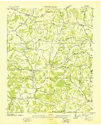
 1951 Tarpley1951 Print · USGSGiles County at the mid-century reveals a rural landscape of ridges and hollows defined by long-established family names and crossroads communities. Trace genealogical roots through dozens of local sites like Aymett Town, New Zion School, and the Rocky Mount Cem.
 - 1956 Map of Columbia, 1960 Print
 1956 Columbia1960 Print · USGSMiddle Tennessee in the mid-fifties presents a landscape of established river towns and critical rail hubs before the arrival of the modern interstate system. Researchers can trace the routes of the Louisville and Nashville railroad or locate historic landmarks like Stones River National Military Park and the Tennessee National Wildlife Refuge.6 unique versions available
 - 1966 Map of Pulaski, 1968 Print
 1966 Pulaski1968 Print · USGSMid-century Pulaski and the surrounding Giles County hills are captured here just as post-war suburban additions like Rebel Acres began to expand. Genealogists can trace family names through dozens of rural landmarks, from Peterson Cem and Meredith Cem to the tracks of the Louisville and Nashville Railroad.3 unique versions available
 - 1981 Map of Tullahoma, 1982 Print
 1981 Tullahoma1982 Print · USGSSouthern Tennessee enters the 1980s with a mix of aerospace technology and deep rural roots. Researchers can trace the L & N RR through Shelbyville and Fayetteville or locate family sites like Old Salem Cem and Blanton Chapel near the Cumberland Plateau.
 - 1985 Map of Lawrenceburg
 1985 Lawrenceburg1985 Print · USGSMiddle Tennessee and Northern Alabama are captured in the mid-1980s, showcasing a landscape of high ridges and winding river valleys. Genealogists and historians can trace rail lines like the Seaboard System Railroad or locate community landmarks such as Saint Marys Church and Three Churches.2 unique versions available
 - 2010 Map of Tarpley, 2010 Print
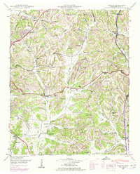
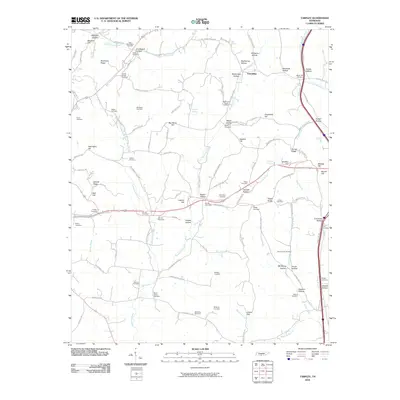 2010 Tarpley2010 Print · USGSCovers Pulaski, including Beech Hill, Sumac, and other nearby areas
 - 2010 Map of Pulaski, 2010 Print
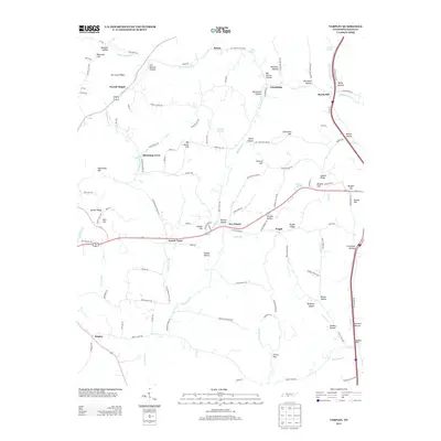
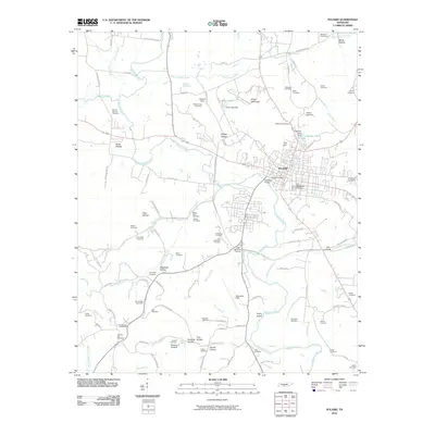 2010 Pulaski2010 Print · USGSCovers Pulaski, including Wales, Turney, and other nearby areas
 - 2013 Map of Tarpley, 2013 Print
 2013 Tarpley2013 Print · USGSCovers Pulaski, including Beech Hill, Sumac, and other nearby areas
 - 2013 Map of Pulaski, 2013 Print
 2013 Pulaski2013 Print · USGSCovers Pulaski, including Wales, Turney, and other nearby areas
 - 2016 Map of Tarpley, 2016 Print
 2016 Tarpley2016 Print · USGSCovers Pulaski, including Beech Hill, Sumac, and other nearby areas
 - 2016 Map of Pulaski, 2016 Print
 2016 Pulaski2016 Print · USGSCovers Pulaski, including Wales, Turney, and other nearby areas
 - 2019 Map of Pulaski, 2019 Print
 2019 Pulaski2019 Print · USGSCovers Pulaski, including Wales, Turney, and other nearby areas
 - 2019 Map of Tarpley, 2019 Print
 2019 Tarpley2019 Print · USGSCovers Pulaski, including Beech Hill, Sumac, and other nearby areas
 - 2022 Map of Pulaski, 2022 Print
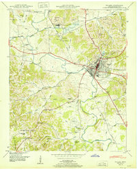
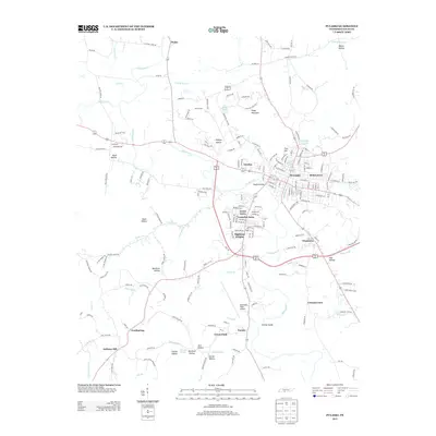
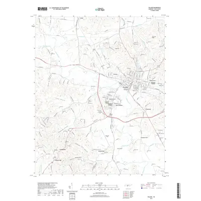
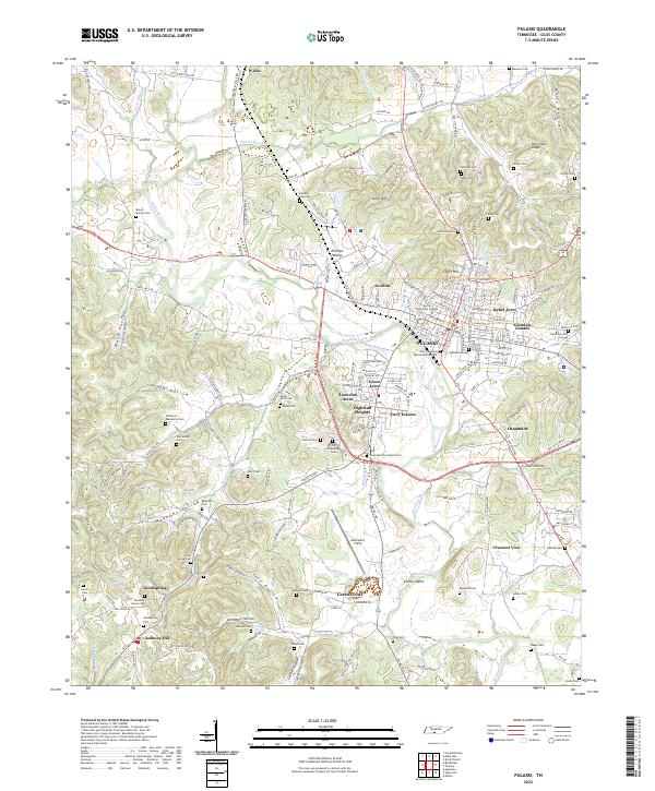 2022 Pulaski2022 Print · USGSPulaski and the surrounding Giles County hills are documented here in the early twenty-first century as the community expanded beyond its historic center. Researchers can locate many family-named burial sites and landmarks like Martin Methodist College, Maplewood Cem, and Abernathy Field.
 - 2022 Map of Tarpley, 2022 Print
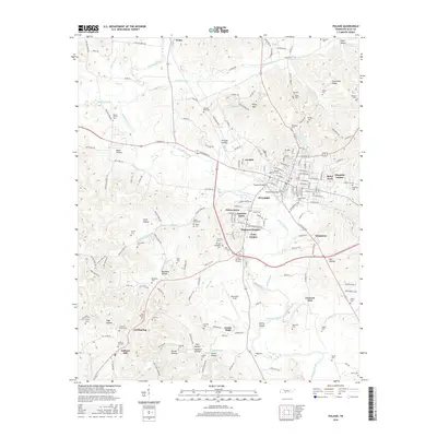
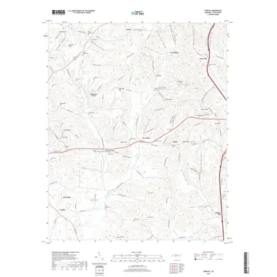
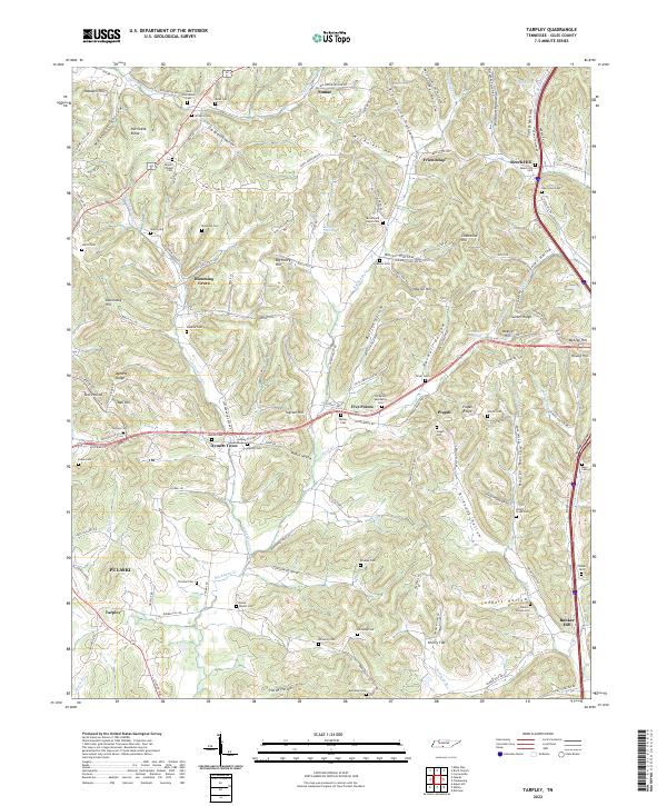 2022 Tarpley2022 Print · USGSGiles County, Tennessee, is captured here in the early 2020s, showing a traditional landscape of ridge-top settlements and deep hollows. Researchers can locate numerous family burial sites and rural communities like Beech Hill, Five Points, and the Osburn-Watson-Cem.
End of results
Showing maps 1-19 of 19
Top cities near Pulaski
- Ardmore historical maps
- Cornersville historical maps
- Elkton historical maps
- Minor Hill historical maps
- Lynnville historical maps
- Lester historical maps
Top neighborhoods of Pulaski
- Glendale Estates historical maps
- Gordon historical maps
- Green Acres historical maps
- Highland Heights historical maps
- Lancelot Acres historical maps
- Rebel Acres historical maps
See more
Frequently asked questions
- What are the different types of historical maps available for Pulaski?
- What is the oldest map of Pulaski?
- Where can I purchase historical maps of Pulaski for my home or office?
- Where can I download high-res historical maps of Pulaski?
- Are there historical topographic maps available for Pulaski?
- Is there historical aerial imagery available for Pulaski?
- Where are historical maps of Pulaski sourced from?