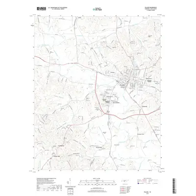
2019 Map of Pulaski
USGS Topo · Published 2019About this map
Richland Creek winds through the heart of this landscape, anchoring the city of Pulaski and its various residential expansions like Lancelot Acres and Glendale Estates. The map reveals a dense network of family history sites, including the Old Graveyard Memorial Park and numerous rural burial grounds such as Cantrell Cem and Pittard Cem. The terrain is defined by a series of named hollows, including Clark Hollow and York Hollow, which separate the higher elevations of Kings Mtn and Hurricane Ridge from the fertile valley floor.
Find a feature on this map
227 named features on this map. Tap any name to fly to it.
Don’t see what you’re looking for? This feature index may not catch every label — zoom into the map to look around manually.
Map Details
Editions of this 2019 Pulaski Map
This is the sole edition of this map. No revisions or reprints were ever made.
Other maps of this area

1936 · Milky Way
USGS Topo · 1:24,000

1936 · Aspen Hill
USGS Topo · 1:24,000

1936 · Campbellsville
USGS Topo · 1:24,000

1936 · Brick Church
USGS Topo · 1:24,000

1936 · Pulaski
USGS Topo · 1:24,000

1936 · Bodenham
USGS Topo · 1:24,000

1936 · Appleton
USGS Topo · 1:24,000

1936 · Tarpley
USGS Topo · 1:24,000

1936 · Elkton
USGS Topo · 1:24,000

1946 · Brick Church
USGS Topo · 1:24,000