
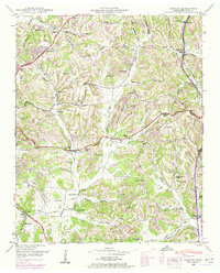
1936 Map of Brick Church
USGS Topo · Published 1936About this map
Richland Creek winds through the heart of the Tennessee countryside near the border of Giles and Marshall Counties during the mid-1930s. This Tennessee Valley Authority and USGS collaboration documents a rural landscape defined by narrow hollows and small upland communities. The namesake settlement of Brick Church serves as a local anchor along State Highway No 11, while the Odd Fellows Hall suggests a tight-knit social fabric in the surrounding hills.
Find a feature on this map
40 named features on this map. Tap any name to fly to it.
Don’t see what you’re looking for? This feature index may not catch every label — zoom into the map to look around manually.
Map Details
Editions of this 1936 Brick Church Map
This is the sole edition of this map. No revisions or reprints were ever made.
Other maps of this area

1936 · Milky Way
USGS Topo · 1:24,000

1936 · Cornersville
USGS Topo · 1:24,000

1936 · Lewisburg
USGS Topo · 1:24,000

1936 · Campbells Station
USGS Topo · 1:24,000

1936 · Pulaski
USGS Topo · 1:24,000

1936 · Tarpley
USGS Topo · 1:24,000

1936 · Frankewing
USGS Topo · 1:24,000

1936 · Lynnville
USGS Topo · 1:24,000

1946 · Brick Church
USGS Topo · 1:24,000
1948 · Tarpley
USGS Topo · 1:24,000