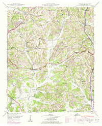
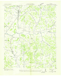
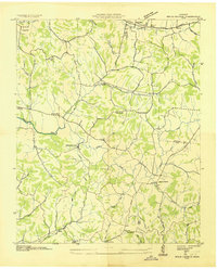
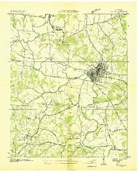
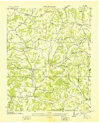
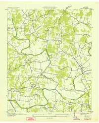
1948 Map of Tarpley
USGS Topo · Published 1974About this map
Pigeon Roost Creek and Hurricane Ridge define the central landscape of this rural Tennessee community, where life followed the ridges and hollows in the late 1940s. The area is marked by a high density of family-centered landmarks and community centers, from the settlement at Beech Hill to smaller pockets like Aymett Town and Five Points. These locations were often anchored by local institutions such as New Providence Church and New Zion School. The transportation network reveals the transition of travel through the county, featuring the path of Old Highway 15 and the historic Stage Road winding toward Tarpley. Genealogists will find a wealth of burial sites including Aymett Cem, Estes Cem, and Marks Cem. Geological features such as Maxwell Cave and Lancaster Cave suggest a complex underground topography beneath the surface farms and woodlands.
Find a feature on this map
84 named features on this map. Tap any name to fly to it.
Don’t see what you’re looking for? This feature index may not catch every label — zoom into the map to look around manually.
Map Details
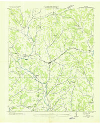
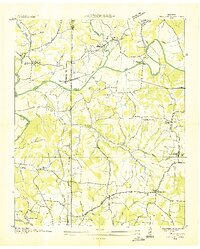
Editions of this 1948 Tarpley Map
2 editions found
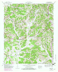
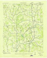
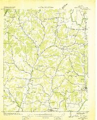
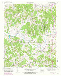
Other maps of this area
1936 · Milky Way
USGS Topo · 1:24,000
1936 · Aspen Hill
USGS Topo · 1:24,000
1936 · Cornersville
USGS Topo · 1:24,000
1936 · Brick Church
USGS Topo · 1:24,000
1936 · Pulaski
USGS Topo · 1:24,000
1936 · Tarpley
USGS Topo · 1:24,000
1936 · Elkton
USGS Topo · 1:24,000
1936 · Frankewing
USGS Topo · 1:24,000
1936 · Dellrose
USGS Topo · 1:24,000
1946 · Brick Church
USGS Topo · 1:24,000