Old Maps of Bryson, Tennessee for Hiking & Exploration
Hike through history with 10 historic maps of Bryson. Explore old trails, ghost towns, and forgotten backroads — perfect for outdoor adventurers and local explorers.
- Rediscover forgotten places: Map out old mining camps, roads, and footpaths that no longer exist on modern maps.
- Layer with modern tools: Combine with LiDAR or satellite views to plan hikes through historical terrain.
- Made for exploration: Popular among hikers, overlanders, and local history lovers.
Use these maps to find adventure and explore the hidden past of Bryson.
Bryson, TN maps
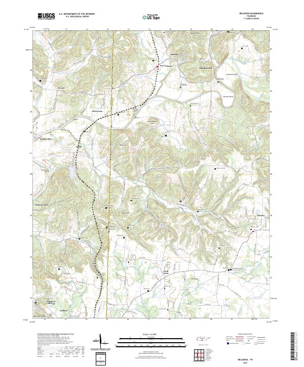
(10)- 1936 Map of Dellrose
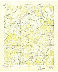 1936 Dellrose1936 Print · USGSSouthern Tennessee at the height of the mid-1930s reveals a rural landscape shaped by the ELK RIVER and the LOUISVILLE AND NASHVILLE railroad. Genealogists can locate family landmarks like STONE CEM or Hamiltons Mill and trace the rail line through the unique LUDA TUNNEL.
 - 1948 Map of Dellrose, 1982 Print
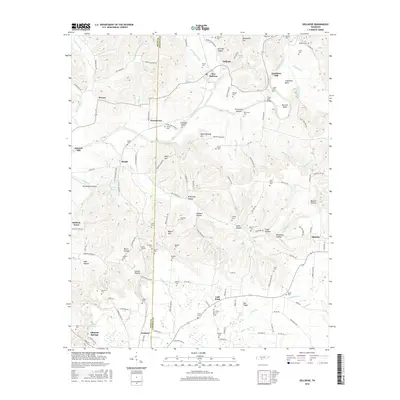
 1948 Dellrose1982 Print · USGSLincoln and Giles counties were defined by the winding Elk River and the Louisville and Nashville railroad in the late 1940s. Genealogists and historians can trace family roots through numerous landmarks like Washington Temple, Hamilton Mill, and Young Cem.
 - 1951 Map of Dellrose
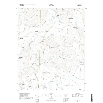
 1951 Dellrose1951 Print · USGSThe Elk River valley on the Giles and Lincoln county line is shown here in the early fifties, just as the rural river-and-rail economy remained intact. Trace local family roots at Hamilton Mill, the Stone Bluff Bridge, or old church sites like Washington Temple.3 unique versions available
 - 1956 Map of Columbia, 1960 Print
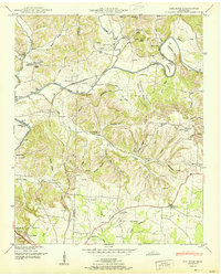
 1956 Columbia1960 Print · USGSMiddle Tennessee in the mid-fifties presents a landscape of established river towns and critical rail hubs before the arrival of the modern interstate system. Researchers can trace the routes of the Louisville and Nashville railroad or locate historic landmarks like Stones River National Military Park and the Tennessee National Wildlife Refuge.6 unique versions available
 - 1981 Map of Tullahoma, 1982 Print
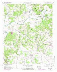
 1981 Tullahoma1982 Print · USGSSouthern Tennessee enters the 1980s with a mix of aerospace technology and deep rural roots. Researchers can trace the L & N RR through Shelbyville and Fayetteville or locate family sites like Old Salem Cem and Blanton Chapel near the Cumberland Plateau.
 - 2010 Map of Dellrose, 2010 Print
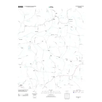
 2010 Dellrose2010 Print · USGSCovers Bryson, including Baugh, New Dellrose, and other nearby areas
 - 2013 Map of Dellrose, 2013 Print
 2013 Dellrose2013 Print · USGSCovers Bryson, including Baugh, New Dellrose, and other nearby areas
 - 2016 Map of Dellrose, 2016 Print
 2016 Dellrose2016 Print · USGSCovers Bryson, including Baugh, New Dellrose, and other nearby areas
 - 2019 Map of Dellrose, 2019 Print
 2019 Dellrose2019 Print · USGSCovers Bryson, including Baugh, New Dellrose, and other nearby areas
 - 2022 Map of Dellrose, 2022 Print
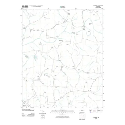
 2022 Dellrose2022 Print · USGSSouthern Middle Tennessee is documented here in the early twenty-first century, showing the rural communities along the Elk River. Genealogists can locate family-named sites like the F A George Family Cem and settlements such as Hamilton Mill and Elkmont Springs.
End of results
Showing maps 1-10 of 10
Top cities near Bryson
- Pulaski historical maps
- Ardmore historical maps
- Cornersville historical maps
- Petersburg historical maps
- Elkton historical maps
- Elkmont historical maps
Frequently asked questions
- What are the different types of historical maps available for Bryson?
- What is the oldest map of Bryson?
- Where can I purchase historical maps of Bryson for my home or office?
- Where can I download high-res historical maps of Bryson?
- Are there historical topographic maps available for Bryson?
- Is there historical aerial imagery available for Bryson?
- Where are historical maps of Bryson sourced from?