2000s (21st Century) Maps of Walter Crossroad, Tennessee
Explore 6 historic maps of Walter Crossroad from the 2000s (21st Century). These maps offer a rare glimpse into what life looked like during the 2000s — showing old roads, neighborhoods, homes, and landmarks that have changed or disappeared over time.
Whether you're researching your family's past, planning a metal detecting trip, or studying how Walter Crossroad's landscape evolved across the 2000s, these high-resolution maps are a powerful tool for exploring the history of this region.
- Focus on a specific era: All maps on this page are from the 2000s, giving you a focused view of this time period.
- See what’s changed: Compare century-old streets, trails, and buildings to today's modern landscape using overlays and satellite layers.
- Research with precision: Use these maps for genealogy, historical research, land use analysis, or educational projects.
- View, download, or print: Maps are fully viewable online in high resolution, and can be downloaded or printed for your own records.
Start exploring Walter Crossroad's history through authentic maps from the 2000s. This is your window into the past.
Walter Crossroad, TN maps
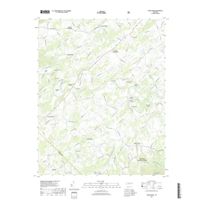
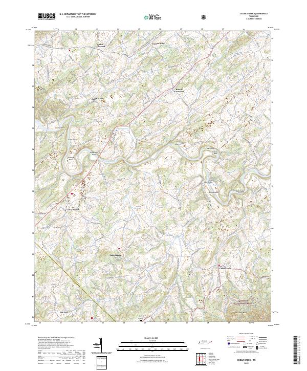
(6)- 2003 Map of Cedar Creek, 2004 Print
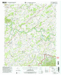 2003 Cedar Creek2004 Print · USGSIn the early twenty-first century, the river valleys of Greene and Cocke counties maintained a landscape of established family crossroads and rural landmarks. Researchers can locate the Meadow Creek Mill, the De Busk Sch, and the Susong Memorial Ch Cem.
 - 2011 Map of Cedar Creek, 2011 Print
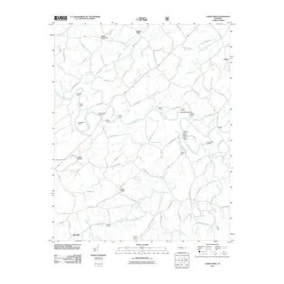 2011 Cedar Creek2011 Print · USGSCovers Walter Crossroad, including Timber Ridge, Saint James, and other nearby areas
 - 2013 Map of Cedar Creek, 2013 Print
 2013 Cedar Creek2013 Print · USGSCovers Walter Crossroad, including Timber Ridge, Saint James, and other nearby areas
 - 2016 Map of Cedar Creek, 2016 Print
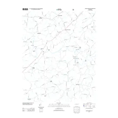
 2016 Cedar Creek2016 Print · USGSCovers Walter Crossroad, including Timber Ridge, Saint James, and other nearby areas
 - 2019 Map of Cedar Creek, 2019 Print
 2019 Cedar Creek2019 Print · USGSCovers Walter Crossroad, including Timber Ridge, Saint James, and other nearby areas
 - 2022 Map of Cedar Creek, 2022 Print
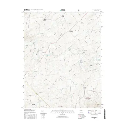
 2022 Cedar Creek2022 Print · USGSGreene County at the start of the 2020s shows a landscape of river-bend settlements and mountain ridges. Genealogists can trace family roots through Saint James, Walter Crossroad, and Mount Olive Cem near the forest edge.
End of results
Showing maps 1-6 of 6
Top cities near Walter Crossroad
- Morristown historical maps
- Greeneville historical maps
- Newport historical maps
- Tusculum historical maps
- Mosheim historical maps
- Bulls Gap historical maps
See more
Frequently asked questions
- What are the different types of historical maps available for Walter Crossroad?
- What is the oldest map of Walter Crossroad?
- Where can I purchase historical maps of Walter Crossroad for my home or office?
- Where can I download high-res historical maps of Walter Crossroad?
- Are there historical topographic maps available for Walter Crossroad?
- Is there historical aerial imagery available for Walter Crossroad?
- Where are historical maps of Walter Crossroad sourced from?