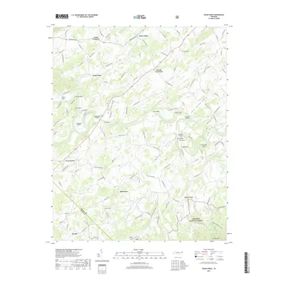
2019 Map of Cedar Creek
USGS Topo · Published 2019About this map
Nolichucky River meanders through the heart of this landscape, defining a series of prominent river features including Cochran Bend, Evans Island, and Linebaugh Bend. The river serves as the central artery for a rural topography characterized by small, scattered settlements such as Walter Crossroad, Russell Crossroad, and Saint James. The transport network follows the grain of the land, with Warrensburg Rd and Old Kentucky Rd connecting these farming communities.
Find a feature on this map
127 named features on this map. Tap any name to fly to it.
Don’t see what you’re looking for? This feature index may not catch every label — zoom into the map to look around manually.
Map Details
Editions of this 2019 Cedar Creek Map
This is the sole edition of this map. No revisions or reprints were ever made.
Other maps of this area

1883 · Morristown
USGS Topo · 1:125,000

1892 · Greeneville
USGS Topo · 1:125,000

1893 · Mt Guyot
USGS Topo · 1:125,000

1893 · Morristown
USGS Topo · 1:125,000

1894 · Asheville
USGS Topo · 1:125,000

1895 · Morristown
USGS Topo · 1:125,000

1896 · Greeneville
USGS Topo · 1:125,000

1901 · Asheville
USGS Topo · 1:125,000

1904 · Greeneville
USGS Topo · 1:125,000

1912 · Mt Guyot
USGS Topo · 1:125,000