Old Maps of Center Star, Tennessee for Hiking & Exploration
Hike through history with 11 historic maps of Center Star. Explore old trails, ghost towns, and forgotten backroads — perfect for outdoor adventurers and local explorers.
- Rediscover forgotten places: Map out old mining camps, roads, and footpaths that no longer exist on modern maps.
- Layer with modern tools: Combine with LiDAR or satellite views to plan hikes through historical terrain.
- Made for exploration: Popular among hikers, overlanders, and local history lovers.
Use these maps to find adventure and explore the hidden past of Center Star.
Center Star, TN maps
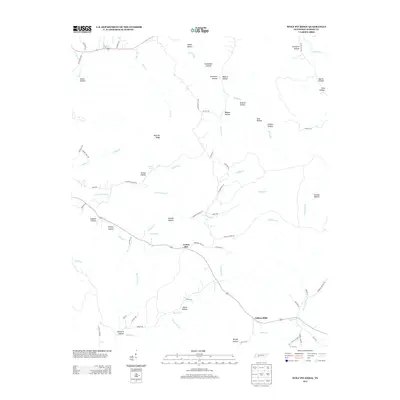
(11)- 1936 Map of Wolf Pit Ridge
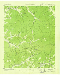 1936 Wolf Pit Ridge1936 Print · USGSHardin County was a landscape of remote hollows and family homesteads in the mid-1930s, just as modern power lines began to cross the ridges. Genealogists can trace family footprints at Gillises Mills and locate ancestral sites such as Pickins Cem or the Center Star Sch.
 - 1949 Map of Wolf Pit Ridge, 1973 Print
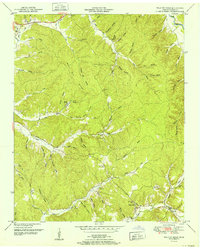
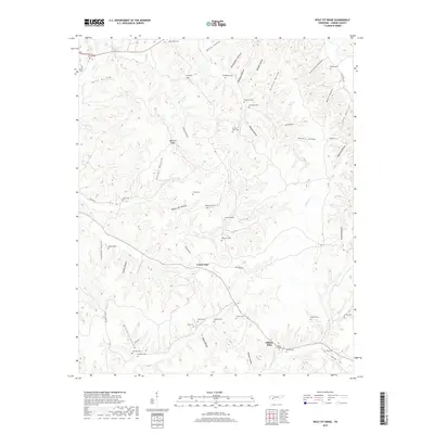
 1949 Wolf Pit Ridge1973 Print · USGSHardin County during the late 1940s was a landscape of tightly-knit ridge communities and small valley mills. Genealogists and local historians can trace family roots through numerous sites like Gillises Mills, Hardin Hills Academy, and Boon Cem.2 unique versions available
 - 1952 Map of Wolf Pit Ridge
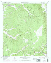
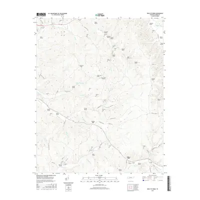
 1952 Wolf Pit Ridge1952 Print · USGSHardin County's upland hollows and ridges come into focus in the early fifties, showing a rural Tennessee landscape of small mills and family homesteads. Trace ancestors at Gillises Mills, Abrams Chapel, or burial sites like the Lacefield Cem.
 - 1956 Map of Blytheville, 1964 Print
 1956 Blytheville1964 Print · USGSWest Tennessee and the Arkansas Delta come alive in this mid-century survey of the river-and-rail corridor connecting Memphis to Jackson. Genealogists and historians can trace the rail lines of the Louisville and Nashville RR and locate landmarks like Western State Hospital or Fort Pillow State Prison Farm.2 unique versions available
 - 1959 Map of Blytheville
 1959 Blytheville1959 Print · USGSWest Tennessee and Northeast Arkansas meet along the river in the late fifties, during a period of steady industrial and agricultural growth. Genealogists can trace the rail corridors of the Illinois Central through Jackson or explore landmarks like Shiloh National Military Park and Fort Pillow State Prison.
 - 1986 Map of Selmer
 1986 Selmer1986 Print · USGSThe Tennessee River valley and the West Tennessee highlands come into focus in the mid-eighties, showing the region's unique intersection of Civil War history and modern infrastructure. Genealogists and researchers can trace family landmarks like Gillisses Mills, the campus of Freed-Hardeman College, and the hallowed grounds of Shiloh National Military Park.3 unique versions available
 - 2010 Map of Wolf Pit Ridge, 2010 Print
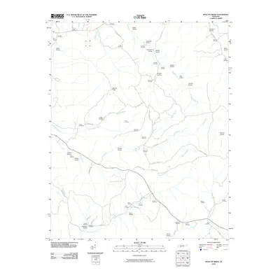 2010 Wolf Pit Ridge2010 Print · USGSCovers Center Star, including Gillises Mills, Hardin County, and other nearby areas
 - 2013 Map of Wolf Pit Ridge, 2013 Print
 2013 Wolf Pit Ridge2013 Print · USGSCovers Center Star, including Gillises Mills, Hardin County, and other nearby areas
 - 2016 Map of Wolf Pit Ridge, 2016 Print
 2016 Wolf Pit Ridge2016 Print · USGSCovers Center Star, including Gillises Mills, Hardin County, and other nearby areas
 - 2019 Map of Wolf Pit Ridge, 2019 Print
 2019 Wolf Pit Ridge2019 Print · USGSCovers Center Star, including Gillises Mills, Hardin County, and other nearby areas
 - 2022 Map of Wolf Pit Ridge, 2022 Print
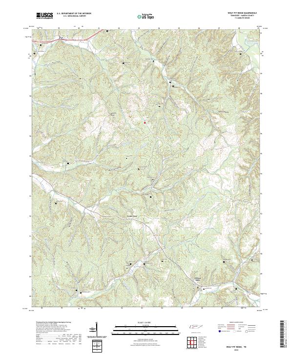 2022 Wolf Pit Ridge2022 Print · USGSHardin County’s creek-cut ridges and family settlements are captured here in the early twenty-first century. Researchers can locate numerous family burial sites like Lacefield Cem and Gillis Mills Cem near Gillises Mills.
End of results
Showing maps 1-11 of 11
Top cities near Center Star
Frequently asked questions
- What are the different types of historical maps available for Center Star?
- What is the oldest map of Center Star?
- Where can I purchase historical maps of Center Star for my home or office?
- Where can I download high-res historical maps of Center Star?
- Are there historical topographic maps available for Center Star?
- Is there historical aerial imagery available for Center Star?
- Where are historical maps of Center Star sourced from?