Old Maps of Hurley, Tennessee for Genealogy
Trace your family roots with 11 historic maps of Hurley. These high-res maps reveal old neighborhoods, homesites, landmarks, and streets — helping you uncover where your ancestors lived and how the area evolved over time.
- Explore historic neighborhoods: Identify where your relatives may have lived in the 1800s or 1900s.
- Compare maps over time: Trace the changes in streets, buildings, and landmarks for multi-generational research.
- Perfect for genealogy & ancestry research: Used by family historians and researchers to map out lineage and migration.
These maps are an incredible resource for exploring your personal connection to Hurley's past.
Hurley, TN maps
(11)- 1936 Map of Pittsburg Landing
 1936 Pittsburg Landing1936 Print · USGSHardin County during the mid-1930s shows a landscape defined by the Tennessee River and the grounds of Shiloh National Military Park. Researchers can trace early river crossings like Pittsburg Ferry and find vanished landmarks like CCC Camp No 2425.
 - 1949 Map of Pittsburg Landing, 1952 Print
 1949 Pittsburg Landing1952 Print · USGSHardin County history is centered on the hallowed grounds of Shiloh National Military Park and the vital banks of the Tennessee River in the late 1940s. Genealogists and historians can trace the riverside at Pittsburg Landing, locate the National Cem, or find rural family sites like Ledbetter Cem and Mt Zion Ch.
 - 1956 Map of Blytheville, 1964 Print
 1956 Blytheville1964 Print · USGSWest Tennessee and the Arkansas Delta come alive in this mid-century survey of the river-and-rail corridor connecting Memphis to Jackson. Genealogists and historians can trace the rail lines of the Louisville and Nashville RR and locate landmarks like Western State Hospital or Fort Pillow State Prison Farm.2 unique versions available
 - 1959 Map of Blytheville
 1959 Blytheville1959 Print · USGSWest Tennessee and Northeast Arkansas meet along the river in the late fifties, during a period of steady industrial and agricultural growth. Genealogists can trace the rail corridors of the Illinois Central through Jackson or explore landmarks like Shiloh National Military Park and Fort Pillow State Prison.
 - 1972 Map of Pittsburg Landing, 1974 Print
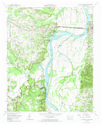 1972 Pittsburg Landing1974 Print · USGSHardin County during the early seventies reveals a landscape defined by the Tennessee River and the sacred grounds of Shiloh National Military Park. Historians can trace rural community life through sites like Pittsburg Landing, Bethlehem Cem, and Crump Landing.2 unique versions available
 - 1986 Map of Selmer
 1986 Selmer1986 Print · USGSThe Tennessee River valley and the West Tennessee highlands come into focus in the mid-eighties, showing the region's unique intersection of Civil War history and modern infrastructure. Genealogists and researchers can trace family landmarks like Gillisses Mills, the campus of Freed-Hardeman College, and the hallowed grounds of Shiloh National Military Park.3 unique versions available
 - 2010 Map of Pittsburg Landing, 2010 Print
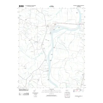 2010 Pittsburg Landing2010 Print · USGSHardin County's riverfront and the hallowed grounds of Shiloh are documented here in the early twenty-first century. Researchers can locate numerous family burial sites like Churchwell Cemetery or trace historic river access points at Crump Landing and Buells Landing.
 - 2013 Map of Pittsburg Landing, 2013 Print
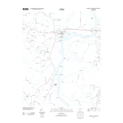 2013 Pittsburg Landing2013 Print · USGSThe Tennessee River valley in Hardin County is shown here in the early twenty-first century, centered on the hallowed grounds of the Civil War. Researchers can trace the terrain of Shiloh National Military Park from Pittsburg Landing to the Hornets Nest.
 - 2016 Map of Pittsburg Landing, 2016 Print
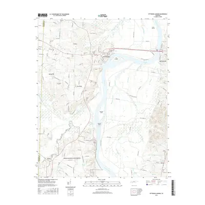 2016 Pittsburg Landing2016 Print · USGSThe Tennessee River valley near Savannah comes into sharp focus during the mid-2010s, centered on the hallowed grounds of the Shiloh National Battlefield. Genealogists and historians can trace local family lineages through sites like Shiloh National Cem, Bethlehem Cem, and Rouse Cem.
 - 2019 Map of Pittsburg Landing, 2019 Print
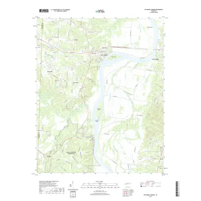 2019 Pittsburg Landing2019 Print · USGSHardin County and the banks of the Tennessee River are shown here in the contemporary era, centered on the hallowed ground of the Shiloh National Battlefield. Researchers can trace old family burial sites and rural communities, from the Shiloh National Cemetery to the small settlements of Crump and Nixon.
 - 2022 Map of Pittsburg Landing, 2022 Print
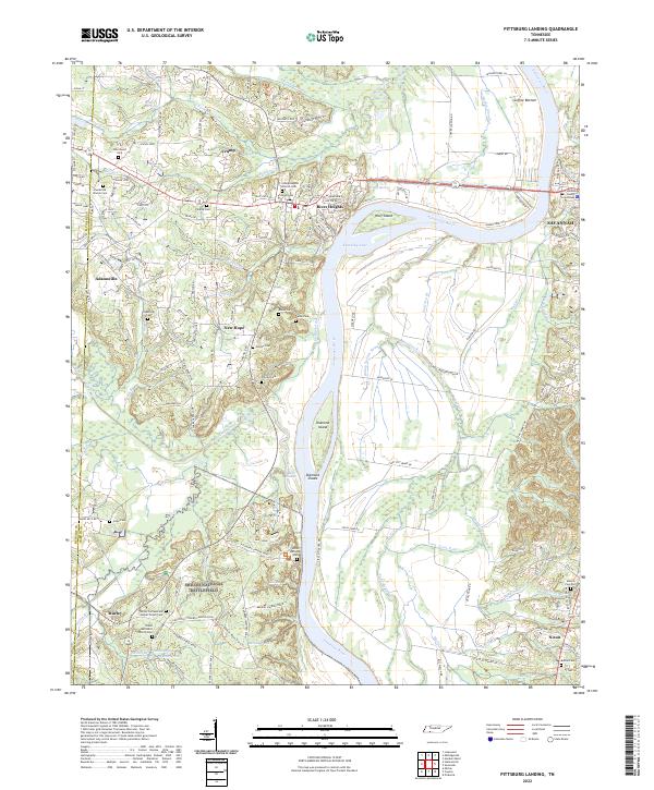 2022 Pittsburg Landing2022 Print · USGSHardin County's riverfront and the hallowed grounds of the Civil War are detailed here in this 2022 survey. Genealogists and historians can trace family names and military positions near Shiloh National Battlefield, Bloody Pond, and the Hardin County Courthouse.
End of results
Showing maps 1-11 of 11
Top cities near Hurley
- Corinth historical maps
- Savannah historical maps
- Selmer historical maps
- Adamsville historical maps
- Farmington historical maps
- Crump historical maps
See more
Frequently asked questions
- What are the different types of historical maps available for Hurley?
- What is the oldest map of Hurley?
- Where can I purchase historical maps of Hurley for my home or office?
- Where can I download high-res historical maps of Hurley?
- Are there historical topographic maps available for Hurley?
- Is there historical aerial imagery available for Hurley?
- Where are historical maps of Hurley sourced from?