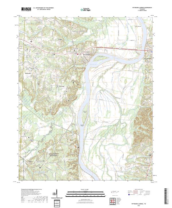
2022 Map of Pittsburg Landing
USGS Topo · Published 2022About this map
Shiloh National Battlefield dominates the southern landscape of this Hardin County survey, preserving the hallowed ground where one of the Civil War's most pivotal engagements took place. The terrain detail reveals the complex network of ravines and watercourses like Snake Creek Canal and Dill Br that dictated troop movements, alongside solemn landmarks such as the Shiloh National Cem and the Shiloh Confederate Burial Trench Cem.
Find a feature on this map
167 named features on this map. Tap any name to fly to it.
Don’t see what you’re looking for? This feature index may not catch every label — zoom into the map to look around manually.
Map Details
Editions of this 2022 Pittsburg Landing Map
This is the sole edition of this map. No revisions or reprints were ever made.
Other maps of this area

1936 · Savannah
USGS Topo · 1:24,000

1936 · Hookers Bend
USGS Topo · 1:24,000

1936 · Counce
USGS Topo · 1:24,000

1936 · Leapwood
USGS Topo · 1:24,000

1936 · Milledgeville
USGS Topo · 1:24,000

1936 · Pickwick
USGS Topo · 1:24,000

1936 · Pittsburg Landing
USGS Topo · 1:24,000

1936 · Stantonville
USGS Topo · 1:24,000

1936 · Michie
USGS Topo · 1:24,000

1949 · Hookers Bend
USGS Topo · 1:24,000