Old Maps of Sunnyhill, Tennessee for Academic Research
Study the evolution of Sunnyhill with 11 high-resolution historic maps. Whether you're teaching, researching, or modeling changes in land use, these maps provide essential visual documentation of urban, environmental, and geographic change.
- Analyze long-term change: Track patterns in development, transportation, and natural features.
- Ideal for environmental or urban studies: Support academic projects with primary historical map data.
- Use in the classroom or lab: Educators and researchers rely on these maps to bring historical context to life.
These maps are a powerful tool for teaching, research, and visualizing how Sunnyhill has changed over the decades.
Sunnyhill, TN maps
(11)- 1950 Map of Sunnyhill, 1981 Print
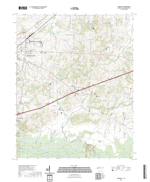
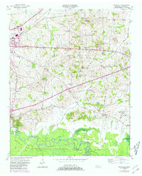 1950 Sunnyhill1981 Print · USGSMid-century Haywood County comes into focus as the Hatchie River winds through the bottomlands. Genealogists can trace family connections at Beech Grove Cem and Rosenwald Cem or locate old school sites like Springfield Sch.2 unique versions available
 - 1951 Map of Sunnyhill
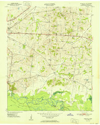 1951 Sunnyhill1951 Print · USGSWest Tennessee’s rural landscape unfolds around Brownsville in the early fifties, where the town’s eastern expansion meets the wetlands of the Hatchie. Family historians can trace local roots through sites like Springfield Sch, Marvin Chapel, and the Knights of Pythias Cem.
 - 1956 Map of Blytheville, 1964 Print
 1956 Blytheville1964 Print · USGSWest Tennessee and the Arkansas Delta come alive in this mid-century survey of the river-and-rail corridor connecting Memphis to Jackson. Genealogists and historians can trace the rail lines of the Louisville and Nashville RR and locate landmarks like Western State Hospital or Fort Pillow State Prison Farm.2 unique versions available
 - 1959 Map of Blytheville
 1959 Blytheville1959 Print · USGSWest Tennessee and Northeast Arkansas meet along the river in the late fifties, during a period of steady industrial and agricultural growth. Genealogists can trace the rail corridors of the Illinois Central through Jackson or explore landmarks like Shiloh National Military Park and Fort Pillow State Prison.
 - 1970 Map of Bells
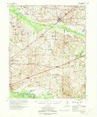 1970 Bells1970 Print · USGSWest Tennessee river bottoms and upland farms come alive in this 1970s survey of the Haywood and Crockett county border. Researchers can trace historic family burial sites at Magnolia Cem and Hess Cem or locate vanished local schools such as Bradford Sch.
 - 1986 Map of Blytheville
 1986 Blytheville1986 Print · USGSThe Arkansas-Tennessee borderlands appear here in the mid-eighties, centered on the mighty Mississippi River and its shifting islands. Trace the footprints of Blytheville Air Force Base, old river towns like Golddust, and the extensive grounds of the Fort Pillow State Prison Farm.2 unique versions available
 - 2010 Map of Sunnyhill, 2010 Print
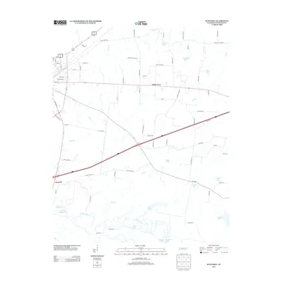
 2010 Sunnyhill2010 Print · USGSCovers Sunnyhill, including Brownsville, Willow Grove, and other nearby areas
 - 2013 Map of Sunnyhill, 2013 Print
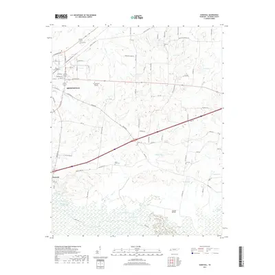
 2013 Sunnyhill2013 Print · USGSCovers Sunnyhill, including Brownsville, Willow Grove, and other nearby areas
 - 2016 Map of Sunnyhill, 2016 Print
 2016 Sunnyhill2016 Print · USGSCovers Sunnyhill, including Brownsville, Willow Grove, and other nearby areas
 - 2019 Map of Sunnyhill, 2019 Print
 2019 Sunnyhill2019 Print · USGSCovers Sunnyhill, including Brownsville, Willow Grove, and other nearby areas
 - 2022 Map of Sunnyhill, 2022 Print
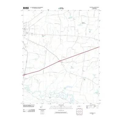
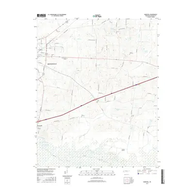
 2022 Sunnyhill2022 Print · USGSHaywood County during the early 2020s reveals a landscape where the urban outskirts of BROWNSVILLE give way to the wetlands of the Hatchie River. Genealogists can trace a remarkable concentration of family and church burial sites, from the Anthony Farm Cem to the Upper Salem Missionary Baptist Church Cem.
End of results
Showing maps 1-11 of 11
Top cities near Sunnyhill
- Brownsville historical maps
- Whiteville historical maps
- Bells historical maps
- Stanton historical maps
- Nutbush historical maps
Frequently asked questions
- What are the different types of historical maps available for Sunnyhill?
- What is the oldest map of Sunnyhill?
- Where can I purchase historical maps of Sunnyhill for my home or office?
- Where can I download high-res historical maps of Sunnyhill?
- Are there historical topographic maps available for Sunnyhill?
- Is there historical aerial imagery available for Sunnyhill?
- Where are historical maps of Sunnyhill sourced from?