Old Maps of Freeland, Tennessee for Academic Research
Study the evolution of Freeland with 9 high-resolution historic maps. Whether you're teaching, researching, or modeling changes in land use, these maps provide essential visual documentation of urban, environmental, and geographic change.
- Analyze long-term change: Track patterns in development, transportation, and natural features.
- Ideal for environmental or urban studies: Support academic projects with primary historical map data.
- Use in the classroom or lab: Educators and researchers rely on these maps to bring historical context to life.
These maps are a powerful tool for teaching, research, and visualizing how Freeland has changed over the decades.
Freeland, TN maps
(9)- 1936 Map of Buchanan
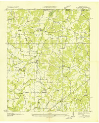 1936 Buchanan1936 Print · USGSBuchanan and the surrounding Henry County farmlands are captured in the mid-1930s just as the Tennessee Valley Authority began its work. Family historians can locate numerous rural landmarks like Blood River Ch, King Cem, and Delno Sch.
 - 1950 Map of Buchanan, 1953 Print
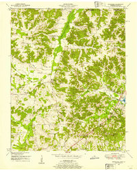 1950 Buchanan1953 Print · USGSThe Kentucky-Tennessee line comes alive in the early fifties, showing a rural landscape shaped by the new Kentucky Lake. Genealogists can trace family names at Buchanan Cem, Mt Zion Ch, and the small community of Freeland.2 unique versions available
 - 1956 Map of Dyersburg, 1960 Print
 1956 Dyersburg1960 Print · USGSThe Four Rivers region comes alive in the mid-fifties, capturing the intricate borderlands of Tennessee, Kentucky, and Missouri. Genealogists and historians can trace the rail-and-river networks connecting Dyersburg, Caruthersville, and the shoreline of Reelfoot Lake.4 unique versions available
 - 1986 Map of McKenzie
 1986 McKenzie1986 Print · USGSWest Tennessee in the mid-eighties was a landscape defined by its deep river forks and the massive waters of Kentucky Lake. Researchers can trace the rail lines of the Louisville & Nashville RR and find local landmarks from Skullbone to the Paris Landing State Park.3 unique versions available
 - 2010 Map of Buchanan, 2010 Print
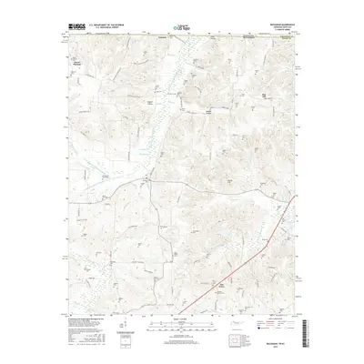
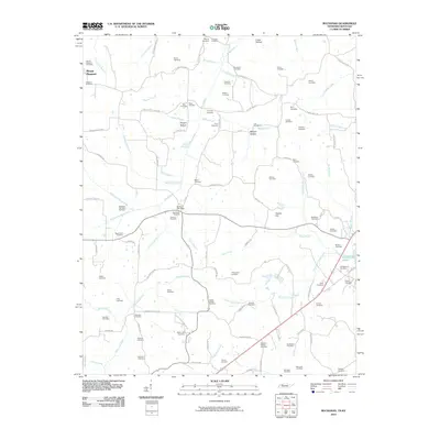 2010 Buchanan2010 Print · USGSCovers Freeland, including Mount Pleasant, Buchanan, and other nearby areas
 - 2013 Map of Buchanan, 2013 Print
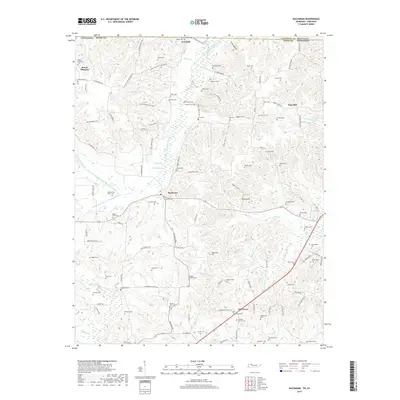
 2013 Buchanan2013 Print · USGSCovers Freeland, including Mount Pleasant, Buchanan, and other nearby areas
 - 2016 Map of Buchanan, 2016 Print
 2016 Buchanan2016 Print · USGSCovers Freeland, including Mount Pleasant, Buchanan, and other nearby areas
 - 2019 Map of Buchanan, 2019 Print
 2019 Buchanan2019 Print · USGSCovers Freeland, including Mount Pleasant, Buchanan, and other nearby areas
 - 2022 Map of Buchanan, 2022 Print
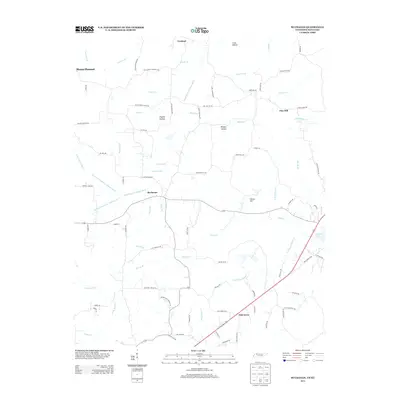
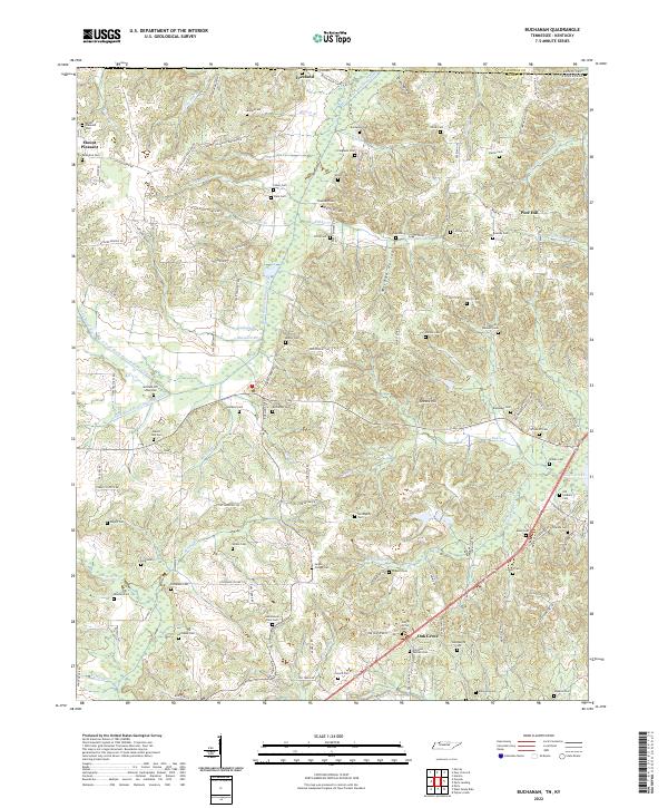 2022 Buchanan2022 Print · USGSThe Tennessee and Kentucky borderlands near Buchanan are captured here during a time of settled agricultural life. Genealogists can trace dozens of family burial sites including the Old Soldiers Cem, Heglar Chapel Cem, and Valentine Cem.
End of results
Showing maps 1-9 of 9
Top cities near Freeland
Frequently asked questions
- What are the different types of historical maps available for Freeland?
- What is the oldest map of Freeland?
- Where can I purchase historical maps of Freeland for my home or office?
- Where can I download high-res historical maps of Freeland?
- Are there historical topographic maps available for Freeland?
- Is there historical aerial imagery available for Freeland?
- Where are historical maps of Freeland sourced from?