Old Maps of Mill Creek, Tennessee for Hiking & Exploration
Hike through history with 10 historic maps of Mill Creek. Explore old trails, ghost towns, and forgotten backroads — perfect for outdoor adventurers and local explorers.
- Rediscover forgotten places: Map out old mining camps, roads, and footpaths that no longer exist on modern maps.
- Layer with modern tools: Combine with LiDAR or satellite views to plan hikes through historical terrain.
- Made for exploration: Popular among hikers, overlanders, and local history lovers.
Use these maps to find adventure and explore the hidden past of Mill Creek.
Mill Creek, TN maps
(10)- 1901 Map of Colombia
 1901 Colombia1901 Print · USGSMiddle Tennessee at the close of the century reveals a landscape shaped by river bends and a dense network of turnpikes. Genealogists can trace family roots through settlements like Santa Fe and Warner or locate landmarks such as the U.S. Arsenal and Zion Ch.3 unique versions available
 - 1936 Map of Lyles
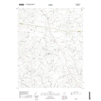
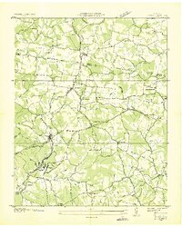 1936 Lyles1936 Print · USGSHickman and Dickson counties come into focus during the mid-1930s, showing a landscape defined by the Tennessee Basin Divide and the Nashville, Chattanooga and St. Louis Railway. Researchers can locate vanished rural landmarks such as Frazier Cem, Porter Sch, and the Steam Pumping Station at Mill Creek.
 - 1953 Map of Lyles, 1957 Print
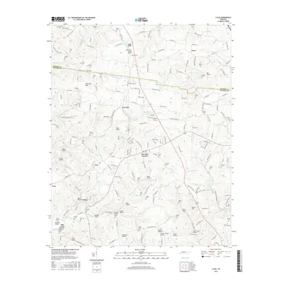
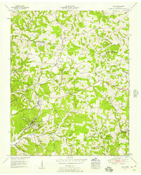 1953 Lyles1957 Print · USGSHickman and Dickson counties show a landscape of ridges and hollows in the early fifties, defined by the Tennessee Valley Divide. Trace the Nashville Chattanooga and St Louis rail line through Lyles and find family histories at Dunnagan Cem or Tatum Sch.3 unique versions available
 - 1956 Map of Columbia, 1960 Print
 1956 Columbia1960 Print · USGSMiddle Tennessee in the mid-fifties presents a landscape of established river towns and critical rail hubs before the arrival of the modern interstate system. Researchers can trace the routes of the Louisville and Nashville railroad or locate historic landmarks like Stones River National Military Park and the Tennessee National Wildlife Refuge.6 unique versions available
 - 1986 Map of Hohenwald
 1986 Hohenwald1986 Print · USGSThe Western Highland Rim of Tennessee comes into focus during the mid-eighties, showing the deep river valleys and high ridges of Lewis and Perry counties. Researchers can trace the path of the Natchez Trace Parkway or locate interior settlements like Chestnut Grove, Farmers Exchange, and Hustburg.3 unique versions available
 - 2010 Map of Lyles, 2010 Print
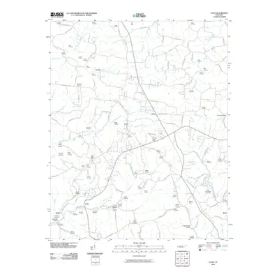 2010 Lyles2010 Print · USGSCovers Mill Creek, including Iron Hill, Porter, and other nearby areas
 - 2013 Map of Lyles, 2013 Print
 2013 Lyles2013 Print · USGSCovers Mill Creek, including Iron Hill, Porter, and other nearby areas
 - 2016 Map of Lyles, 2016 Print
 2016 Lyles2016 Print · USGSCovers Mill Creek, including Iron Hill, Porter, and other nearby areas
 - 2019 Map of Lyles, 2019 Print
 2019 Lyles2019 Print · USGSCovers Mill Creek, including Iron Hill, Porter, and other nearby areas
 - 2022 Map of Lyles, 2022 Print
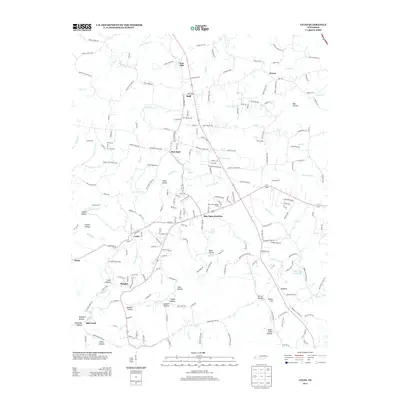
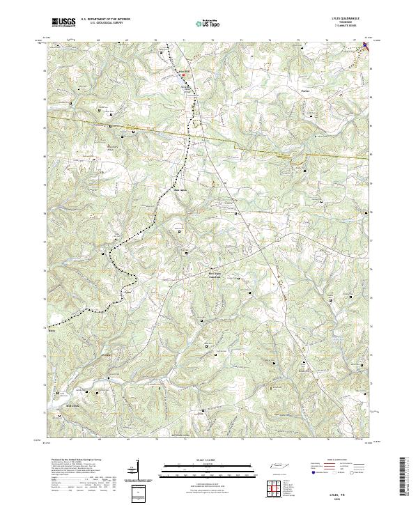 2022 Lyles2022 Print · USGSHickman and Dickson counties are captured here in the early twenty-first century, showing the rural communities of Lyles and Bon Aqua. Genealogists can locate family landmarks like Cedar Hill Cem, Missionary Ridge, and the Bon Aqua Springs.
End of results
Showing maps 1-10 of 10
Top cities near Mill Creek
- Dickson historical maps
- Fairview historical maps
- Centerville historical maps
- White Bluff historical maps
- Kingston Springs historical maps
- Burns historical maps
Frequently asked questions
- What are the different types of historical maps available for Mill Creek?
- What is the oldest map of Mill Creek?
- Where can I purchase historical maps of Mill Creek for my home or office?
- Where can I download high-res historical maps of Mill Creek?
- Are there historical topographic maps available for Mill Creek?
- Is there historical aerial imagery available for Mill Creek?
- Where are historical maps of Mill Creek sourced from?