Old Maps of Forest Hill, Tennessee for Hiking & Exploration
Hike through history with 10 historic maps of Forest Hill. Explore old trails, ghost towns, and forgotten backroads — perfect for outdoor adventurers and local explorers.
- Rediscover forgotten places: Map out old mining camps, roads, and footpaths that no longer exist on modern maps.
- Layer with modern tools: Combine with LiDAR or satellite views to plan hikes through historical terrain.
- Made for exploration: Popular among hikers, overlanders, and local history lovers.
Use these maps to find adventure and explore the hidden past of Forest Hill.
Forest Hill, TN maps
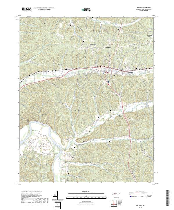
(10)- 1936 Map of Waverly
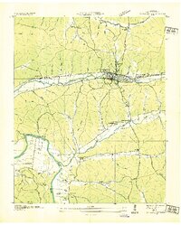 1936 Waverly1936 Print · USGSMid-1930s Humphreys County comes to life as a network of rural schools and family cemeteries. Trace the Chattanooga and St Louis Railway through Waverly and locate landmarks like the County Farm and Tubbs Ford Bridge.
 - 1950 Map of Waverly, 1953 Print
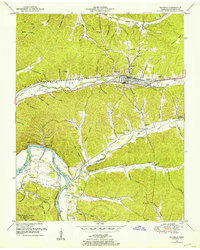 1950 Waverly1953 Print · USGSMid-century Humphreys County is centered on the railroad hub of Waverly and the nearby confluence of the Duck River and Kentucky Lake. Researchers can locate dozens of family-named landmarks and burial grounds, such as Pigeon Roost, Thompson Cemetery, and Spann School.4 unique versions available
 - 1956 Map of Nashville, 1971 Print
 1956 Nashville1971 Print · USGSThe Tennessee-Kentucky borderlands come into focus in the mid-1960s as major reservoir projects transformed the Cumberland and Tennessee river valleys. Researchers can trace the rail networks of the Louisville and Nashville and visit sites like Fort Campbell and Fort Donelson National Military Park.2 unique versions available
 - 1959 Map of Nashville
 1959 Nashville1959 Print · USGSMiddle Tennessee and Southern Kentucky come into focus during the late fifties, showing the region's transition into a modern transportation and military hub. Researchers can trace the sprawling Fort Campbell Military Reservation or locate historic rail stops along the Tennessee Central Ry and Illinois Central RR.
 - 1985 Map of Dickson
 1985 Dickson1985 Print · USGSMid-Tennessee in the mid-1980s was defined by the intersection of the Cumberland and Tennessee rivers and a massive network of wildlife refuges. Researchers can trace the Seaboard System rail lines connecting Waverly, Dickson, and White Bluff, or locate old landmarks near Fort Donelson National Military Park.
 - 2010 Map of Waverly, 2010 Print
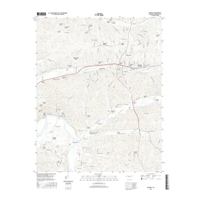
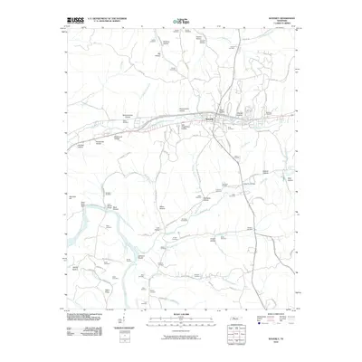 2010 Waverly2010 Print · USGSCovers Forest Hill, including Waverly, Pigeon Roost, and other nearby areas
 - 2013 Map of Waverly, 2013 Print
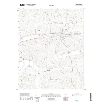
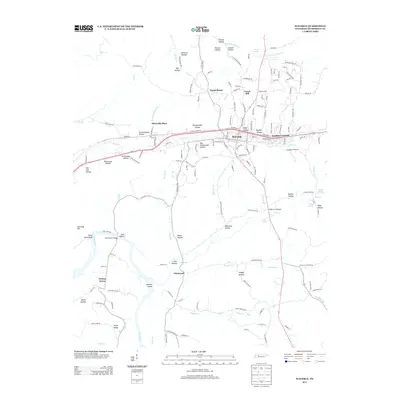 2013 Waverly2013 Print · USGSCovers Forest Hill, including Waverly, Pigeon Roost, and other nearby areas
 - 2016 Map of Waverly, 2016 Print
 2016 Waverly2016 Print · USGSCovers Forest Hill, including Waverly, Pigeon Roost, and other nearby areas
 - 2019 Map of Waverly, 2019 Print
 2019 Waverly2019 Print · USGSCovers Forest Hill, including Waverly, Pigeon Roost, and other nearby areas
 - 2022 Map of Waverly, 2022 Print
 2022 Waverly2022 Print · USGSWaverly and its surrounding hollows are captured here during the 2020s, showing the settled valleys of Middle Tennessee and the winding Duck River. Researchers can locate dozens of ancestral burial sites like Hobbs Cem and Nelson Cem alongside local hubs like Elysian Grove.
End of results
Showing maps 1-10 of 10
Top cities near Forest Hill
Frequently asked questions
- What are the different types of historical maps available for Forest Hill?
- What is the oldest map of Forest Hill?
- Where can I purchase historical maps of Forest Hill for my home or office?
- Where can I download high-res historical maps of Forest Hill?
- Are there historical topographic maps available for Forest Hill?
- Is there historical aerial imagery available for Forest Hill?
- Where are historical maps of Forest Hill sourced from?