2020s Maps of Knox County, Tennessee
Explore 18 historic maps of Knox County from the 2020s. These maps offer a rare glimpse into what life looked like during the 2020s — showing old roads, neighborhoods, homes, and landmarks that have changed or disappeared over time.
Whether you're researching your family's past, planning a metal detecting trip, or studying how Knox County's landscape evolved across the 2020s, these high-resolution maps are a powerful tool for exploring the history of this region.
- Focus on a specific era: All maps on this page are from the 2020s, giving you a focused view of this time period.
- See what’s changed: Compare century-old streets, trails, and buildings to today's modern landscape using overlays and satellite layers.
- Research with precision: Use these maps for genealogy, historical research, land use analysis, or educational projects.
- View, download, or print: Maps are fully viewable online in high resolution, and can be downloaded or printed for your own records.
Start exploring Knox County's history through authentic maps from the 2020s. This is your window into the past.
Knox County, TN maps
(18)- 2022 Map of Wildwood, 2022 Print
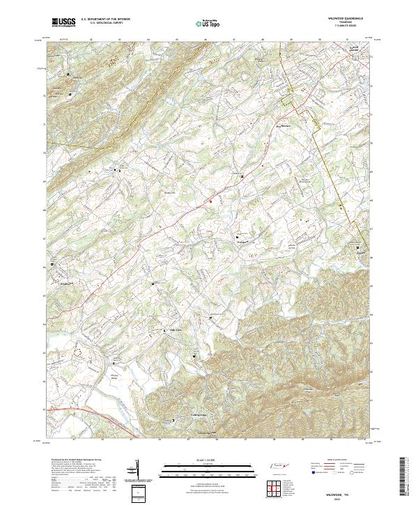 2022 Wildwood2022 Print · USGSBlount County, Tennessee, is captured here in its modern rural character, from the slopes of Chilhowee Mtn to the winding Ellejoy Creek. Researchers can locate family landmarks like McCammon Cem and tracing the early settlements of Wildwood and Ellejoy.
 - 2022 Map of Maryville, 2022 Print
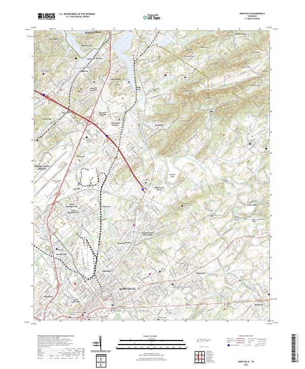 2022 Maryville2022 Print · USGSMaryville and the industrial center of Alcoa are shown in detail during the early 2020s as they continue to expand along the Little River. Researchers can locate dozens of local landmarks, from Maryville College to historic burial grounds like Grandview Cem and Mount Moriah Cem.
 - 2022 Map of Shooks Gap, 2022 Print
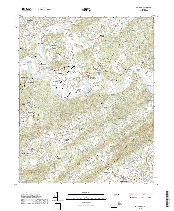 2022 Shooks Gap2022 Print · USGSKnoxville and its southern rural outskirts are shown at a period of modern growth and historical preservation along the Tennessee River. Researchers can trace family sites at Lebanon In The Fork Presbyterian Cem, the industrial grounds of Meades Quarry, and the namesake Shooks Gap.
 - 2022 Map of Bearden, 2022 Print
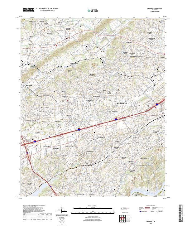 2022 Bearden2022 Print · USGSKnox County is captured in this modern survey as suburban expansion meets the ridges of East Tennessee. Genealogists and local historians can trace burial grounds like Mars Hill Cem, old throughways such as Middlebrook Pike, and the residential growth of Cedar Bluff near the Tennessee River.
 - 2022 Map of Concord, 2022 Print
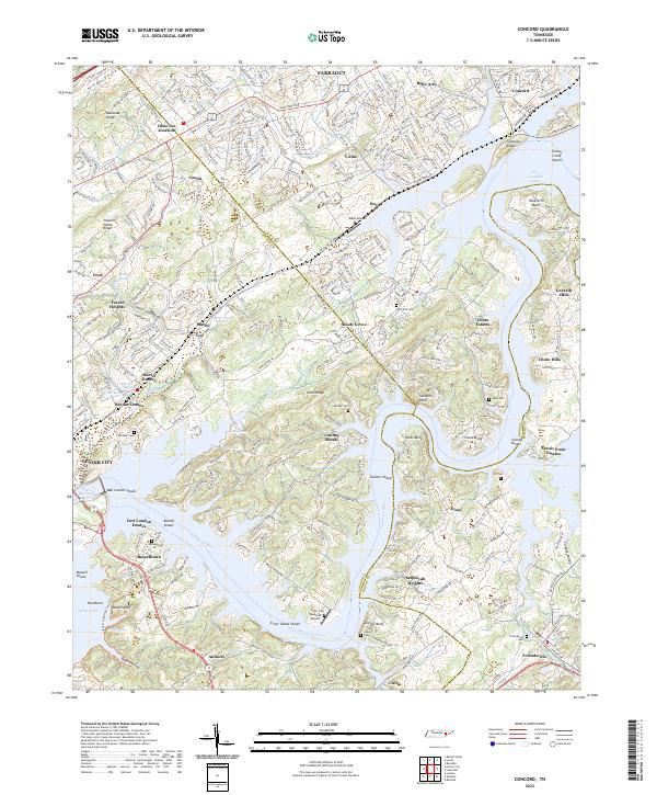 2022 Concord2022 Print · USGSThe Tennessee River valley south of Farragut comes alive here in the early twenty-first century, showing the intersection of historic river settlements and modern lakeside growth. Researchers can trace family roots at Friendsville Cem, locate the site of Busselltown, or explore the geography of Saltpeter Bluff and Sister Island Shoals.
 - 2022 Map of Louisville, 2022 Print
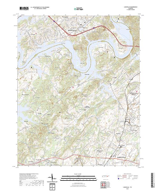 2022 Louisville2022 Print · USGSBlount County along the Tennessee River south of Knoxville shows a mix of historical settlement and modern growth. Genealogists and local researchers can locate numerous family burial sites like Davis Cem, the historic Holston College, and early communities such as Miser Station.
 - 2022 Map of Bethel Valley, 2022 Print
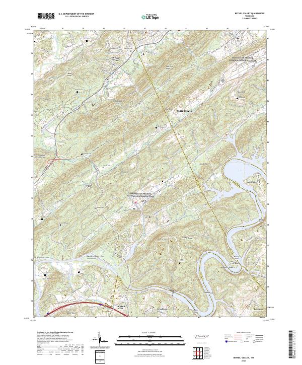 2022 Bethel Valley2022 Print · USGSEastern Tennessee at the edge of the atomic age is revealed here, where high-security federal history overlaps with old valley settlements. Genealogists can trace family landmarks like Douglas Chapel Cem and Gravel Hill Cem near the winding Clinch River.
 - 2022 Map of Lovell, 2022 Print
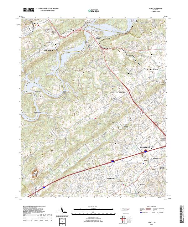 2022 Lovell2022 Print · USGSWestern Knox County appears here in the early twenty-first century, showing the transition from the ridges of Oak Ridge to the growing suburbs of Farragut. Researchers can locate several historic family and community burial grounds like Scarborough and Estes Cem, alongside old crossroads like Solway.
 - 2022 Map of Mascot, 2022 Print
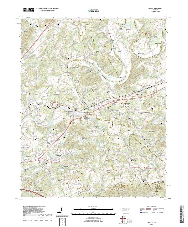 2022 Mascot2022 Print · USGSEastern Tennessee's river-driven landscape is captured here in the early twenty-first century, centered on the winding Holston River and its many islands. Researchers can trace historic family connections through McBee Cem, explore the area around Strawberry Plains, or locate the site of Carter Mill.
 - 2022 Map of Fountain City, 2022 Print
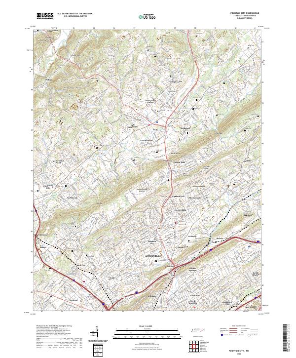 2022 Fountain City2022 Print · USGSKnox County settlement patterns are on full display here during the early twenty-first century as Knoxville expands northward. Researchers can trace numerous local landmarks and burial sites, from Halls Crossroads to Lynnhurst Cem and Granny Bright Spring.
 - 2022 Map of Luttrell, 2022 Print
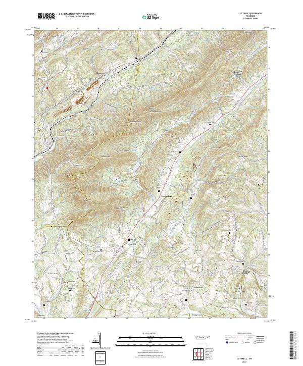 2022 Luttrell2022 Print · USGSThe rural valleys of East Tennessee are mapped here during the early twenty-first century, showing the enduring settlement patterns of Union and Knox counties. Genealogists can trace numerous family sites like Zachary Cem, Jarnagin Cem, and the community of Lea Springs.
 - 2022 Map of Knoxville, 2022 Print
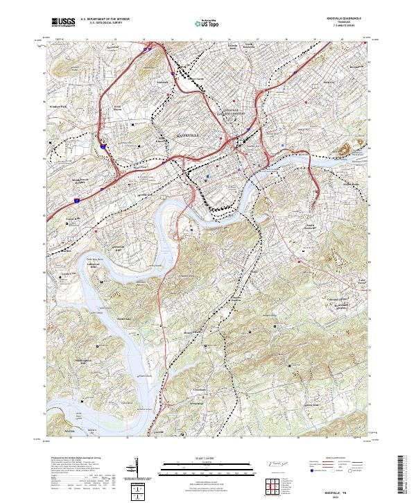 2022 Knoxville2022 Print · USGSKnoxville and its surrounding neighborhoods are captured in detail during the early 2020s as they span the banks of the Tennessee River. Researchers can trace the layout of the University of Tennessee, locate ancestral plots in Old Gray Cem, or explore rail history at Coster Yards.
 - 2022 Map of Boyds Creek, 2022 Print
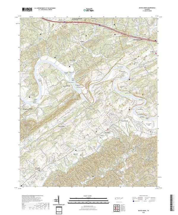 2022 Boyds Creek2022 Print · USGSThe French Broad River valley in East Tennessee remains a landscape of deep-rooted family history and winding waterways. Researchers can trace numerous ancestral sites like the Trundle Family Cemetery, Peters Mill, and the many islands of Seven Islands.
 - 2022 Map of Norris, 2022 Print
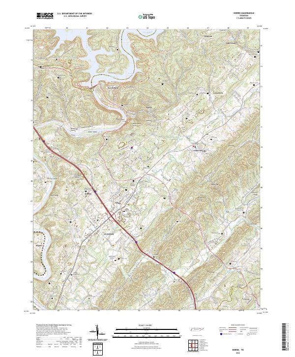 2022 Norris2022 Print · USGSAnderson County and the Clinch River valley are shown here in the modern era, centering on the planned community of Norris. Researchers can trace family history through numerous sites like Longmire Cem, Old Red Hill Cem, and the Bethel Baptist Cem.
 - 2022 Map of John Sevier, 2022 Print
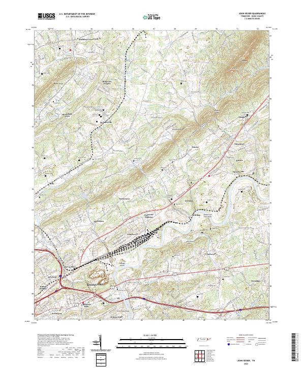 2022 John Sevier2022 Print · USGSKnox County east of the city comes into focus in this modern era, where the Holston River cuts through a landscape of ridges and river shoals. Genealogists and historians can trace dozens of small family plots and community landmarks, from the Old Poor Farm Cem to the namesake John Sevier railyard area and House Mtn.
 - 2022 Map of Graveston, 2022 Print
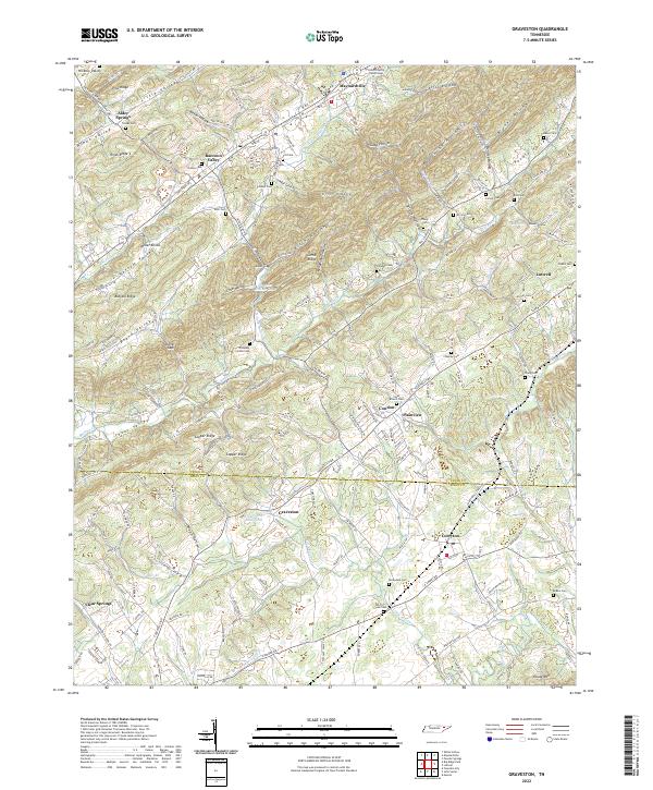 2022 Graveston2022 Print · USGSEastern Tennessee valley life comes into focus as the communities of Maynardville and Corryton bridge the Union and Knox County line. Trace family roots across dozens of burial sites like Rockydale Cem or landmarks such as the Union County Courthouse.
 - 2022 Map of Big Ridge Park, 2022 Print
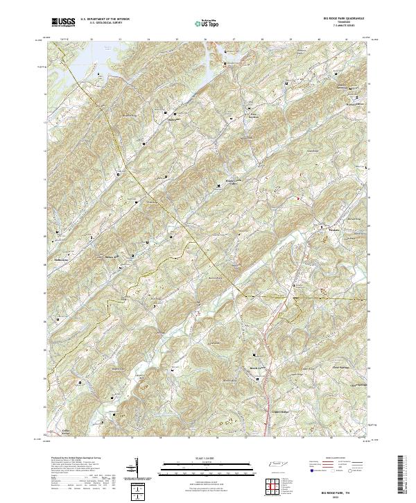 2022 Big Ridge Park2022 Print · USGSNortheast of Knoxville in the early 2020s, this area shows a landscape defined by the waters of Norris Lake and narrow mountain ridges. Researchers can trace dozens of family burial grounds and small settlements like New Loyston, Stokes Mill, and Hansards Chapel Cemetery.
 - 2022 Map of Powell, 2022 Print
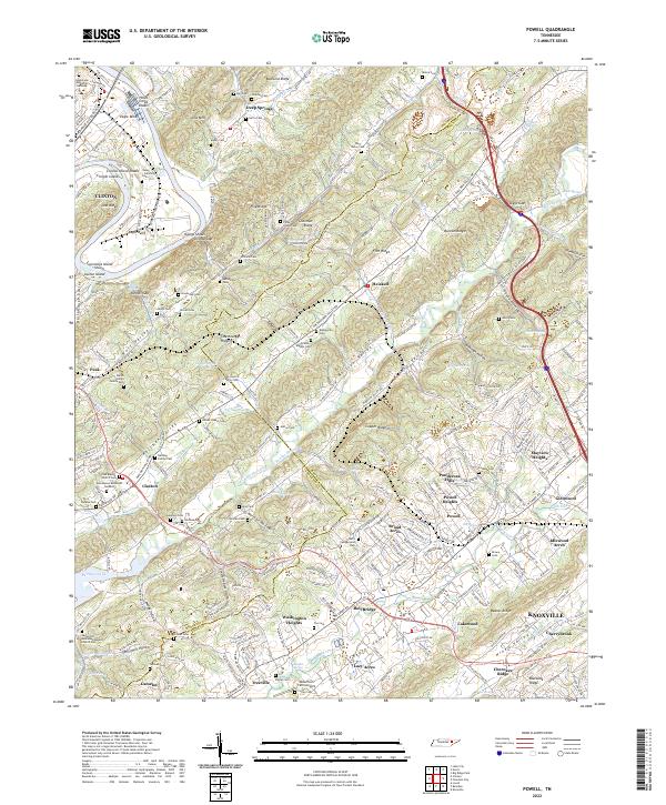 2022 Powell2022 Print · USGSNorthern Knoxville and the Clinch River area appear in this modern survey as suburban growth meets rural ridge-and-valley terrain. Genealogists can locate family-named landmarks like John Herrell Family Cem and the Zion Baptist Church Cem.
End of results
Showing maps 1-18 of 18
Top cities of Knox County
- Knoxville historical maps
- Farragut historical maps
- Powell historical maps
- Halls Crossroads historical maps
- Mascot historical maps
Frequently asked questions
- What are the different types of historical maps available for Knox County?
- What is the oldest map of Knox County?
- Where can I purchase historical maps of Knox County for my home or office?
- Where can I download high-res historical maps of Knox County?
- Are there historical topographic maps available for Knox County?
- Is there historical aerial imagery available for Knox County?
- Where are historical maps of Knox County sourced from?