Old Maps of Ridgely, Tennessee for Hiking & Exploration
Hike through history with 20 historic maps of Ridgely. Explore old trails, ghost towns, and forgotten backroads — perfect for outdoor adventurers and local explorers.
- Rediscover forgotten places: Map out old mining camps, roads, and footpaths that no longer exist on modern maps.
- Layer with modern tools: Combine with LiDAR or satellite views to plan hikes through historical terrain.
- Made for exploration: Popular among hikers, overlanders, and local history lovers.
Use these maps to find adventure and explore the hidden past of Ridgely.
Ridgely, TN maps
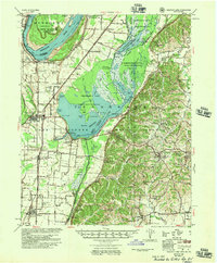
(20)- 1925 Map of Reelfoot Lake
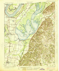 1925 Reelfoot Lake1925 Print · USGSNorthwestern Tennessee in the mid-twenties is defined here by the intricate waters of the Reelfoot basin and the shifting course of the Mississippi. Genealogists and historians can trace family-named sites like Rodgers School and Jones School, or locate old river landings including Cates and Whites Landing.3 unique versions available
 - 1939 Map of Reelfoot Lake
 1939 Reelfoot Lake1939 Print · USGSReelfoot Lake and the Mississippi River bottoms are captured here in the late thirties, showing a landscape defined by water and woods. Genealogists and historians can trace family locations near Owl City, Free Will Ch & Cem, and Chandlers Mill Sch.2 unique versions available
 - 1939 Map of Dyersburg, 1943 Print
 1939 Dyersburg1943 Print · USGSDyer and Obion Counties in the late thirties are shown here as a landscape of river-bottom farms and emerging rail hubs. Genealogists can trace family roots through numerous local landmarks like Springhill Ch & Cem, Viar Sch, and the Illinois Central corridor.2 unique versions available
 - 1952 Map of Miston, 1953 Print
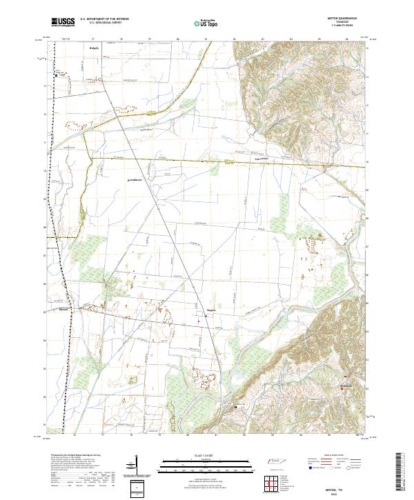
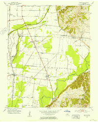 1952 Miston1953 Print · USGSDyer and Lake counties in the early fifties were defined by the winding Obion River and the small hamlets along the Illinois Central tracks. Genealogists can trace family roots through several local landmarks like Horn Ridge Cem, Cunningham Sch, and Bogota.2 unique versions available
 - 1956 Map of Reelfoot Lake, 1957 Print
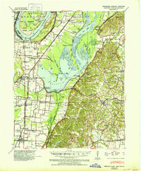
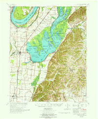
 1956 Reelfoot Lake1957 Print · USGSNorthwest Tennessee in the 1950s was a landscape defined by the shifting waters of the Mississippi and the cypress brakes of Reelfoot. Researchers can trace rural lineages through sites like Crocketts Chapel & Cem, Star of Bethlehem Ch, and the defunct rails of the Illinois Central Railroad.
 - 1956 Map of Dyersburg, 1960 Print
 1956 Dyersburg1960 Print · USGSThe Four Rivers region comes alive in the mid-fifties, capturing the intricate borderlands of Tennessee, Kentucky, and Missouri. Genealogists and historians can trace the rail-and-river networks connecting Dyersburg, Caruthersville, and the shoreline of Reelfoot Lake.4 unique versions available
 - 1961 Map of Dyersburg, 1965 Print
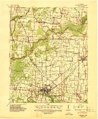
 1961 Dyersburg1965 Print · USGSDyer County at the start of the sixties reveals a thriving rail-and-river hub centered on the growing city of Dyersburg. Researchers can trace family roots through numerous rural landmarks like Bruces Chapel, Cloverdale Sch, and the Newbern Cem.
 - 1964 Map of Ridgely, 1965 Print
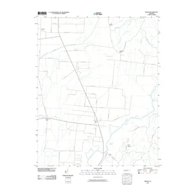
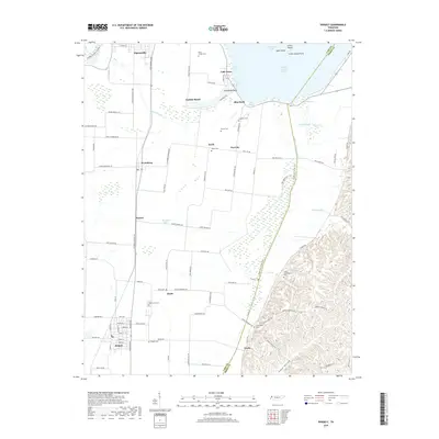
 1964 Ridgely1965 Print · USGSMid-century Lake County comes to life as a network of wetland refuges and agricultural rail towns before modern landscape changes. Genealogists can locate family sites at New Haven Cem and Crocketts Chapel, or trace the tracks of the Illinois Central through Ridgely and Wynnburg.2 unique versions available
 - 1967 Map of Reelfoot Lake
 1967 Reelfoot Lake1967 Print · USGSReelfoot Lake and the Mississippi riverfront are captured here in the mid-sixties, showing a landscape defined by wetlands and rail-line towns. Researchers can trace family sites at Owl City or Samburg, and locate landmarks like Mt Zion Ch and Oak Ridge Sch.
 - 1983 Map of Dyersburg
 1983 Dyersburg1983 Print · USGSSpanning the Mississippi River at the start of the 1980s, this area shows the vital river-and-rail connections between Tennessee and Missouri. Researchers can trace family sites at Mount Pisgah Cemetery or study the evolving shoreline near Caruthersville and Reelfoot Lake.
 - 2010 Map of Miston, 2010 Print
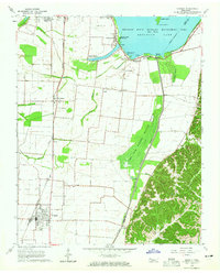
 2010 Miston2010 Print · USGSCovers Ridgely, including Cunningham, Bogota, and other nearby areas
 - 2010 Map of Ridgely, 2010 Print
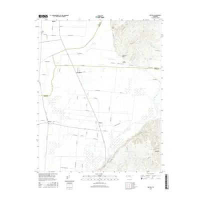
 2010 Ridgely2010 Print · USGSCovers Ridgely, including Tiptonville, Magnolia Beach, and other nearby areas
 - 2013 Map of Miston, 2013 Print
 2013 Miston2013 Print · USGSCovers Ridgely, including Cunningham, Bogota, and other nearby areas
 - 2013 Map of Ridgely, 2013 Print
 2013 Ridgely2013 Print · USGSCovers Ridgely, including Tiptonville, Magnolia Beach, and other nearby areas
 - 2016 Map of Ridgely, 2016 Print
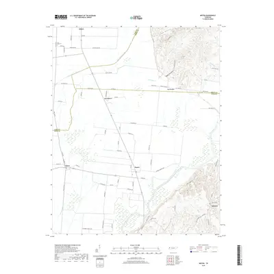
 2016 Ridgely2016 Print · USGSCovers Ridgely, including Tiptonville, Magnolia Beach, and other nearby areas
 - 2016 Map of Miston, 2016 Print
 2016 Miston2016 Print · USGSCovers Ridgely, including Cunningham, Bogota, and other nearby areas
 - 2019 Map of Ridgely, 2019 Print
 2019 Ridgely2019 Print · USGSCovers Ridgely, including Tiptonville, Magnolia Beach, and other nearby areas
 - 2019 Map of Miston, 2019 Print
 2019 Miston2019 Print · USGSCovers Ridgely, including Cunningham, Bogota, and other nearby areas
 - 2022 Map of Miston, 2022 Print
 2022 Miston2022 Print · USGSNorthwestern Tennessee at the junction of Lake, Obion, and Dyer Counties reveals a landscape shaped by the Obion River and its floodplain. Trace family roots and local history through Miston, Bogota, and the Horn Ridge Cem.
 - 2022 Map of Ridgely, 2022 Print
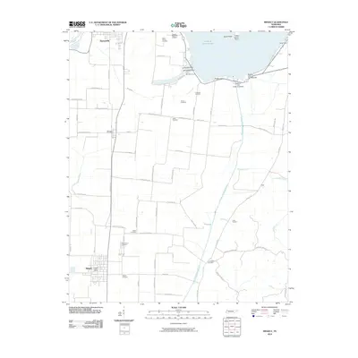
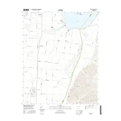
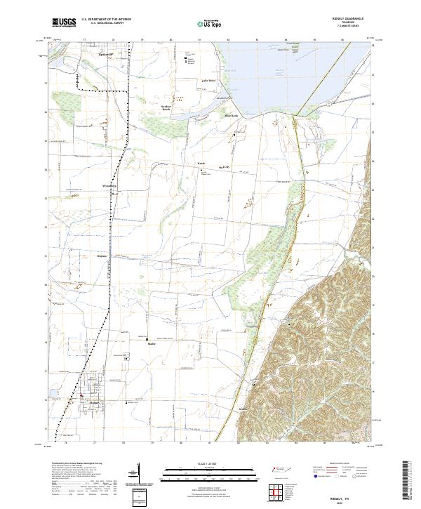 2022 Ridgely2022 Print · USGSLake County's alluvial plains and Reelfoot Lake waterfront are captured here in the early twenty-first century, showing a landscape defined by drainage and levees. Genealogists can locate family burial grounds including Ridgely Cem and Crockett Cem, or trace the path of Running Reelfoot Bayou.
End of results
Showing maps 1-20 of 20
Top cities near Ridgely
- Dyersburg historical maps
- Caruthersville historical maps
- Tiptonville historical maps
- Newbern historical maps
- Hornbeak historical maps
- Samburg historical maps
Frequently asked questions
- What are the different types of historical maps available for Ridgely?
- What is the oldest map of Ridgely?
- Where can I purchase historical maps of Ridgely for my home or office?
- Where can I download high-res historical maps of Ridgely?
- Are there historical topographic maps available for Ridgely?
- Is there historical aerial imagery available for Ridgely?
- Where are historical maps of Ridgely sourced from?