Old Maps of Halls, Tennessee for Metal Detecting
Plan your next treasure hunt with 17 historic maps of Halls. Find old homesites, ghost towns, trails, and gathering spots that may be lost to time — perfect for identifying promising metal detecting locations.
- Locate forgotten sites: Uncover places like long-lost settlements, abandoned rail lines, or gathering spots.
- Plan better hunts: Use map overlays combined with LiDAR or satellite views to narrow in on historically rich areas.
- Made for detectorists: Thousands of hobbyists use these maps to discover relics, coins, and hidden history.
Use these historic maps to boost your research and find new opportunities beneath the surface of Halls.
Halls, TN maps
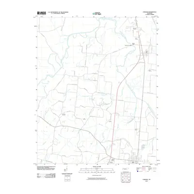
(17)- 1939 Map of Halls, 1943 Print
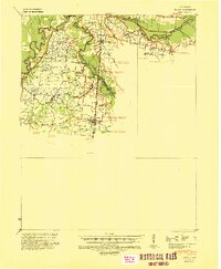 1939 Halls1943 Print · USGSLauderdale and Dyer Counties are mapped here during the late 1930s as the river-and-rail economy shaped West Tennessee life. Genealogists and researchers can trace the rural communities of Unionville, Fowlkes, and Key Corner, alongside landmark sites like Charles Chapel and the Nankipoo Sch.
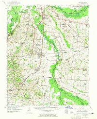
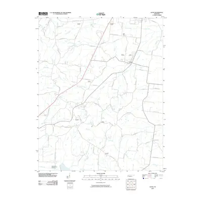
 - 1952 Map of Gates, 1953 Print
 1952 Gates1953 Print · USGSLauderdale and Haywood Counties are shown in the early fifties as the rural landscape centered on the ILLINOIS CENTRAL rail line. Genealogists can trace family footprints through numerous small landmarks like Nelson Chapel, Woodville Sch, and Crossroads Cem.3 unique versions available
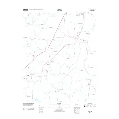
 - 1952 Map of Fowlkes, 1954 Print
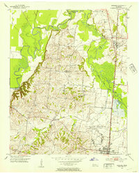 1952 Fowlkes1954 Print · USGSDyer and Lauderdale counties in the early fifties reveal a landscape defined by the winding South Fork Forked Deer River and the Illinois Central rail line. Researchers can trace rural lineages through sites like Williams Chapel, King Cem, and the expansive U S Military Reservation.2 unique versions available
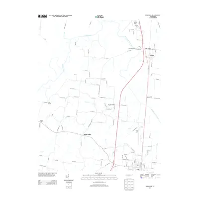
 - 1956 Map of Blytheville, 1964 Print
 1956 Blytheville1964 Print · USGSWest Tennessee and the Arkansas Delta come alive in this mid-century survey of the river-and-rail corridor connecting Memphis to Jackson. Genealogists and historians can trace the rail lines of the Louisville and Nashville RR and locate landmarks like Western State Hospital or Fort Pillow State Prison Farm.2 unique versions available
 - 1959 Map of Blytheville
 1959 Blytheville1959 Print · USGSWest Tennessee and Northeast Arkansas meet along the river in the late fifties, during a period of steady industrial and agricultural growth. Genealogists can trace the rail corridors of the Illinois Central through Jackson or explore landmarks like Shiloh National Military Park and Fort Pillow State Prison.
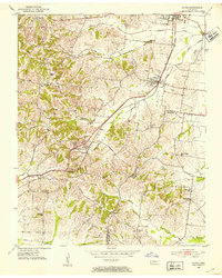
 - 1961 Map of Halls, 1965 Print
 1961 Halls1965 Print · USGSLauderdale and Dyer counties are shown in the early sixties as the West Tennessee landscape hummed with activity along the Illinois Central tracks. Researchers can trace rural lineages through dozens of named sites like Miller Chapel Cem, Benton Sch, and the U. S. Military Reservation.
 - 1986 Map of Blytheville
 1986 Blytheville1986 Print · USGSThe Arkansas-Tennessee borderlands appear here in the mid-eighties, centered on the mighty Mississippi River and its shifting islands. Trace the footprints of Blytheville Air Force Base, old river towns like Golddust, and the extensive grounds of the Fort Pillow State Prison Farm.2 unique versions available
 - 2010 Map of Fowlkes, 2010 Print
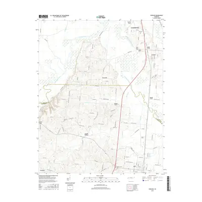
 2010 Fowlkes2010 Print · USGSCovers Halls, including Dyersburg, Key Corner, and other nearby areas
 - 2010 Map of Gates, 2010 Print
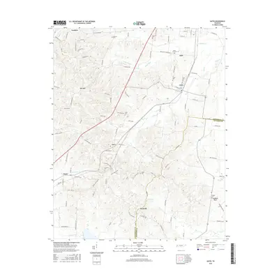
 2010 Gates2010 Print · USGSCovers Halls, including Gates, Curve, and other nearby areas
 - 2013 Map of Gates, 2013 Print
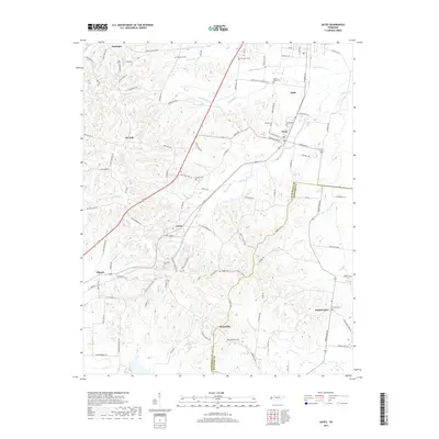
 2013 Gates2013 Print · USGSCovers Halls, including Gates, Curve, and other nearby areas
 - 2013 Map of Fowlkes, 2013 Print
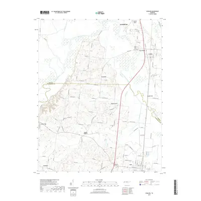
 2013 Fowlkes2013 Print · USGSCovers Halls, including Dyersburg, Key Corner, and other nearby areas
 - 2016 Map of Fowlkes, 2016 Print
 2016 Fowlkes2016 Print · USGSCovers Halls, including Dyersburg, Key Corner, and other nearby areas
 - 2016 Map of Gates, 2016 Print
 2016 Gates2016 Print · USGSCovers Halls, including Gates, Curve, and other nearby areas
 - 2019 Map of Fowlkes, 2019 Print
 2019 Fowlkes2019 Print · USGSCovers Halls, including Dyersburg, Key Corner, and other nearby areas
 - 2019 Map of Gates, 2019 Print
 2019 Gates2019 Print · USGSCovers Halls, including Gates, Curve, and other nearby areas
 - 2022 Map of Gates, 2022 Print
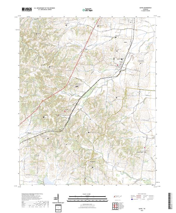 2022 Gates2022 Print · USGSLauderdale and Haywood counties are revealed in this modern era as a network of traditional Tennessee farm communities and family landmarks. Genealogists can trace decades of local history through sites like the Willette Family Cem, Crossroads Cem, and Woodville Cem.
 - 2022 Map of Fowlkes, 2022 Print
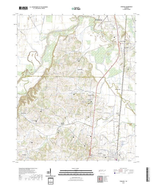 2022 Fowlkes2022 Print · USGSWestern Tennessee farm country comes into focus on the border of Dyer and Lauderdale counties. Researchers can trace family sites at the Carnell Family Cemetery or the crossroads at Double Bridges and Poplar Grove.
End of results
Showing maps 1-17 of 17
Top cities near Halls
- Dyersburg historical maps
- Ripley historical maps
- Newbern historical maps
- Henning historical maps
- Gates historical maps
- Maury City historical maps
See more
Frequently asked questions
- What are the different types of historical maps available for Halls?
- What is the oldest map of Halls?
- Where can I purchase historical maps of Halls for my home or office?
- Where can I download high-res historical maps of Halls?
- Are there historical topographic maps available for Halls?
- Is there historical aerial imagery available for Halls?
- Where are historical maps of Halls sourced from?