Old Maps of Lower Mockeson, Tennessee for Hiking & Exploration
Hike through history with 9 historic maps of Lower Mockeson. Explore old trails, ghost towns, and forgotten backroads — perfect for outdoor adventurers and local explorers.
- Rediscover forgotten places: Map out old mining camps, roads, and footpaths that no longer exist on modern maps.
- Layer with modern tools: Combine with LiDAR or satellite views to plan hikes through historical terrain.
- Made for exploration: Popular among hikers, overlanders, and local history lovers.
Use these maps to find adventure and explore the hidden past of Lower Mockeson.
Lower Mockeson, TN maps
(9)- 1936 Map of Bonnertown
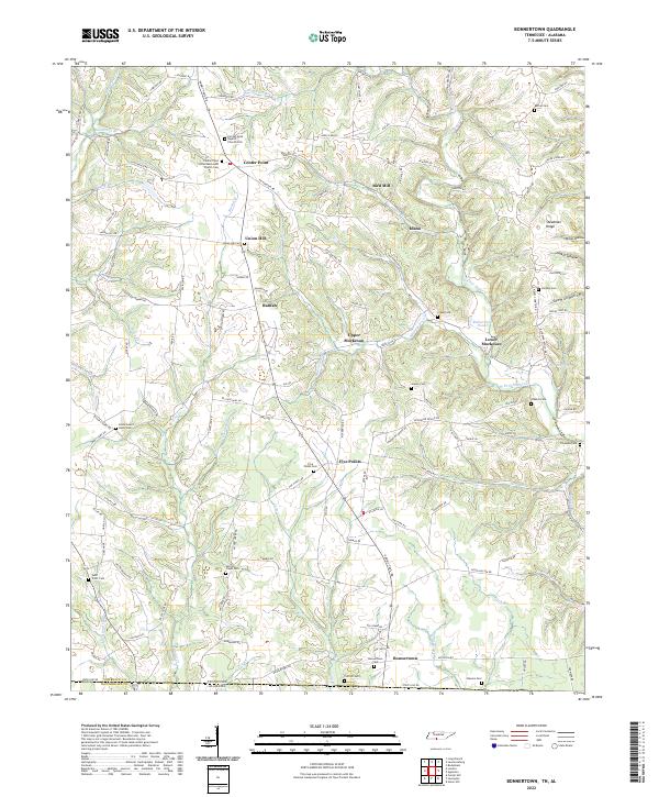
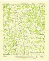 1936 Bonnertown1936 Print · USGSThe Tennessee-Alabama borderlands appear here in the mid-1930s, showing a rural landscape of ridges and hollows before modernization. Genealogists can locate family-named sites like St Truitt Cem, Richardson Chapel Sch, and the community of Bonnertown.
 - 1950 Map of Bonnertown, 1954 Print
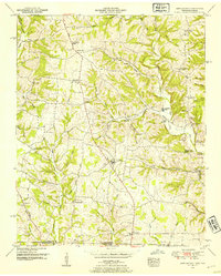 1950 Bonnertown1954 Print · USGSThe Tennessee-Alabama borderland comes alive in this mid-century survey of rural Lawrence County. Researchers can trace family history through sites like Home Sweet Home Cemetery, the Bird Mill landmark, and the winding Old Rabbit Trail Road.3 unique versions available
 - 1956 Map of Columbia, 1960 Print
 1956 Columbia1960 Print · USGSMiddle Tennessee in the mid-fifties presents a landscape of established river towns and critical rail hubs before the arrival of the modern interstate system. Researchers can trace the routes of the Louisville and Nashville railroad or locate historic landmarks like Stones River National Military Park and the Tennessee National Wildlife Refuge.6 unique versions available
 - 1985 Map of Lawrenceburg
 1985 Lawrenceburg1985 Print · USGSMiddle Tennessee and Northern Alabama are captured in the mid-1980s, showcasing a landscape of high ridges and winding river valleys. Genealogists and historians can trace rail lines like the Seaboard System Railroad or locate community landmarks such as Saint Marys Church and Three Churches.2 unique versions available
 - 2010 Map of Bonnertown, 2010 Print
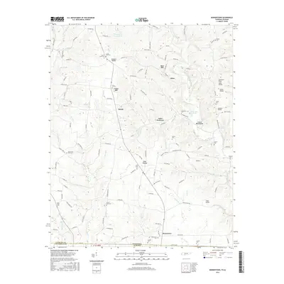
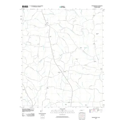 2010 Bonnertown2010 Print · USGSCovers Lower Mockeson, including Bird Mill, Bonnertown, and other nearby areas
 - 2013 Map of Bonnertown, 2013 Print
 2013 Bonnertown2013 Print · USGSCovers Lower Mockeson, including Bird Mill, Bonnertown, and other nearby areas
 - 2016 Map of Bonnertown, 2016 Print
 2016 Bonnertown2016 Print · USGSCovers Lower Mockeson, including Bird Mill, Bonnertown, and other nearby areas
 - 2019 Map of Bonnertown, 2019 Print
 2019 Bonnertown2019 Print · USGSCovers Lower Mockeson, including Bird Mill, Bonnertown, and other nearby areas
 - 2022 Map of Bonnertown, 2022 Print
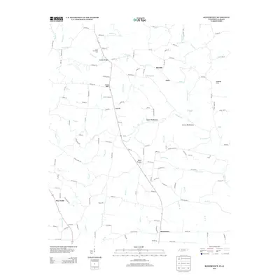
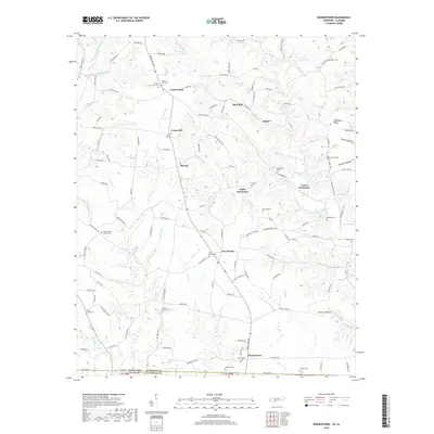
 2022 Bonnertown2022 Print · USGSSoutheastern Lawrence County comes into focus in this contemporary survey of the Tennessee-Alabama state line. Genealogists can locate numerous family burial grounds, including Union Hill Cem, Saint Truitt Cem, and the Bonnertown Cem.
End of results
Showing maps 1-9 of 9
Top cities near Lower Mockeson
- Lawrenceburg historical maps
- Pulaski historical maps
- Loretto historical maps
- Killen historical maps
- Lexington historical maps
- Minor Hill historical maps
See more
Frequently asked questions
- What are the different types of historical maps available for Lower Mockeson?
- What is the oldest map of Lower Mockeson?
- Where can I purchase historical maps of Lower Mockeson for my home or office?
- Where can I download high-res historical maps of Lower Mockeson?
- Are there historical topographic maps available for Lower Mockeson?
- Is there historical aerial imagery available for Lower Mockeson?
- Where are historical maps of Lower Mockeson sourced from?