Old Maps of Red Hill, Tennessee for Metal Detecting
Plan your next treasure hunt with 9 historic maps of Red Hill. Find old homesites, ghost towns, trails, and gathering spots that may be lost to time — perfect for identifying promising metal detecting locations.
- Locate forgotten sites: Uncover places like long-lost settlements, abandoned rail lines, or gathering spots.
- Plan better hunts: Use map overlays combined with LiDAR or satellite views to narrow in on historically rich areas.
- Made for detectorists: Thousands of hobbyists use these maps to discover relics, coins, and hidden history.
Use these historic maps to boost your research and find new opportunities beneath the surface of Red Hill.
Red Hill, TN maps
(9)- 1936 Map of Deerfield
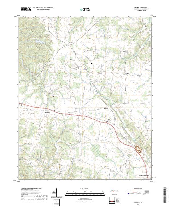
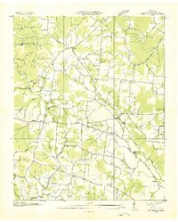 1936 Deerfield1936 Print · USGSLawrence County, Tennessee, is captured here in the mid-1930s as a landscape of rural schools, small churches, and creek-bottom farms. Genealogists and local historians can locate specific landmarks like Mt Lebanon School, Pleasant Grove Church, and the settlement of Deerfield.
 - 1950 Map of Deerfield, 1954 Print
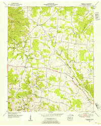 1950 Deerfield1954 Print · USGSLawrence County, Tennessee, is captured here in the mid-twentieth century as a landscape of isolated farmsteads and rural social hubs. Genealogists and local historians can trace the foundations of the community at Mt Lebanon Sch, Pleasant Grove Church, and Lourdes Lake.2 unique versions available
 - 1956 Map of Columbia, 1960 Print
 1956 Columbia1960 Print · USGSMiddle Tennessee in the mid-fifties presents a landscape of established river towns and critical rail hubs before the arrival of the modern interstate system. Researchers can trace the routes of the Louisville and Nashville railroad or locate historic landmarks like Stones River National Military Park and the Tennessee National Wildlife Refuge.6 unique versions available
 - 1985 Map of Lawrenceburg
 1985 Lawrenceburg1985 Print · USGSMiddle Tennessee and Northern Alabama are captured in the mid-1980s, showcasing a landscape of high ridges and winding river valleys. Genealogists and historians can trace rail lines like the Seaboard System Railroad or locate community landmarks such as Saint Marys Church and Three Churches.2 unique versions available
 - 2010 Map of Deerfield, 2010 Print
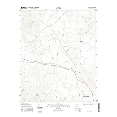
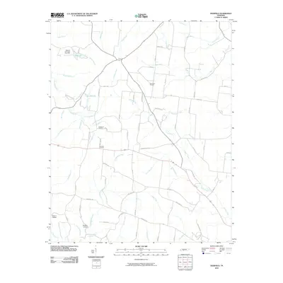 2010 Deerfield2010 Print · USGSCovers Red Hill, including Lawrenceburg, Center, and other nearby areas
 - 2013 Map of Deerfield, 2013 Print
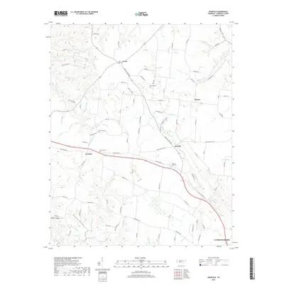
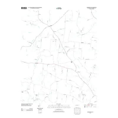 2013 Deerfield2013 Print · USGSCovers Red Hill, including Lawrenceburg, Center, and other nearby areas
 - 2016 Map of Deerfield, 2016 Print
 2016 Deerfield2016 Print · USGSCovers Red Hill, including Lawrenceburg, Center, and other nearby areas
 - 2019 Map of Deerfield, 2019 Print
 2019 Deerfield2019 Print · USGSCovers Red Hill, including Lawrenceburg, Center, and other nearby areas
 - 2022 Map of Deerfield, 2022 Print
 2022 Deerfield2022 Print · USGSLawrence County settlements and the western approach to Lawrenceburg appear in this recent survey. Local historians can trace family-named landmarks and rural burial sites including Deerfield Cem, Macedonia Cem, and O K Baptist Church Cem.
End of results
Showing maps 1-9 of 9
Top cities near Red Hill
- Lawrenceburg historical maps
- Mount Pleasant historical maps
- Hohenwald historical maps
- Loretto historical maps
- Ethridge historical maps
- The Farm historical maps
Frequently asked questions
- What are the different types of historical maps available for Red Hill?
- What is the oldest map of Red Hill?
- Where can I purchase historical maps of Red Hill for my home or office?
- Where can I download high-res historical maps of Red Hill?
- Are there historical topographic maps available for Red Hill?
- Is there historical aerial imagery available for Red Hill?
- Where are historical maps of Red Hill sourced from?