Old Maps of St. Joseph, Tennessee for Metal Detecting
Plan your next treasure hunt with 17 historic maps of St. Joseph. Find old homesites, ghost towns, trails, and gathering spots that may be lost to time — perfect for identifying promising metal detecting locations.
- Locate forgotten sites: Uncover places like long-lost settlements, abandoned rail lines, or gathering spots.
- Plan better hunts: Use map overlays combined with LiDAR or satellite views to narrow in on historically rich areas.
- Made for detectorists: Thousands of hobbyists use these maps to discover relics, coins, and hidden history.
Use these historic maps to boost your research and find new opportunities beneath the surface of St. Joseph.
St. Joseph, TN maps
(17)- 1905 Map of Waynesboro
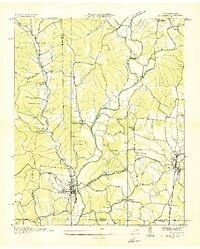
 1905 Waynesboro1905 Print · USGSWayne County and the Tennessee-Alabama borderlands are captured here at the start of the century, showing a network of river landings and old stage stands. Researchers can trace the Nathez Trace and locate historic community hubs like Martins Mills, Whittens Stand, and Clifton.2 unique versions available
 - 1936 Map of Loretto
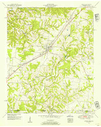
 1936 Loretto1936 Print · USGSThe Tennessee and Alabama borderlands in the mid-1930s reveal a landscape of crossroads communities and early highway development. Genealogists can trace family footprints at Whites Store, Bishop Chapel, and the historic Old State House.
 - 1936 Map of St. Joseph
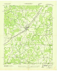
 1936 St. Joseph1936 Print · USGSThe Tennessee-Alabama borderlands come alive in the mid-1930s, showing a transition from rail-dependent industry to early highway travel. Researchers can trace the Louisville and Nashville Company line through Iron City and find rural landmarks like Wolf Creek Mill and Mt Lebo Sch.
 - 1950 Map of St. Joseph, 1954 Print
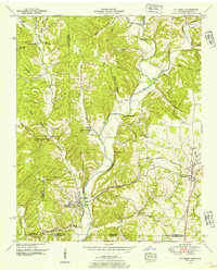 1950 St. Joseph1954 Print · USGSThe Tennessee-Alabama borderlands come into focus in the early 1950s, showing the rural communities and rail lines that connected these cross-state ridges. Researchers can trace the Louisville and Nashville Railroad through Iron City or locate old burial sites like Shiloh Cem and Blair Cem.2 unique versions available
 - 1950 Map of Loretto, 1954 Print
 1950 Loretto1954 Print · USGSThe Tennessee-Alabama borderlands come alive in the early 1950s, showing the rural communities along the Louisville and Nashville corridor. Researchers can trace family roots through sites like Daisy Chapel, Rascal Town, and the McDougal Cem.3 unique versions available
 - 1956 Map of Columbia, 1960 Print
 1956 Columbia1960 Print · USGSMiddle Tennessee in the mid-fifties presents a landscape of established river towns and critical rail hubs before the arrival of the modern interstate system. Researchers can trace the routes of the Louisville and Nashville railroad or locate historic landmarks like Stones River National Military Park and the Tennessee National Wildlife Refuge.6 unique versions available
 - 1985 Map of Lawrenceburg
 1985 Lawrenceburg1985 Print · USGSMiddle Tennessee and Northern Alabama are captured in the mid-1980s, showcasing a landscape of high ridges and winding river valleys. Genealogists and historians can trace rail lines like the Seaboard System Railroad or locate community landmarks such as Saint Marys Church and Three Churches.2 unique versions available
 - 2010 Map of Saint Joseph, 2010 Print
 2010 Saint Joseph2010 Print · USGSCovers St. Joseph, including Wayland Springs, Chinubee, and other nearby areas
 - 2010 Map of Loretto, 2010 Print
 2010 Loretto2010 Print · USGSCovers St. Joseph, including Loretto, Brown Crossroads, and other nearby areas
 - 2013 Map of Loretto, 2013 Print
 2013 Loretto2013 Print · USGSCovers St. Joseph, including Loretto, Brown Crossroads, and other nearby areas
 - 2013 Map of Saint Joseph, 2013 Print
 2013 Saint Joseph2013 Print · USGSCovers St. Joseph, including Wayland Springs, Chinubee, and other nearby areas
 - 2016 Map of Saint Joseph, 2016 Print
 2016 Saint Joseph2016 Print · USGSCovers St. Joseph, including Wayland Springs, Chinubee, and other nearby areas
 - 2016 Map of Loretto, 2016 Print
 2016 Loretto2016 Print · USGSCovers St. Joseph, including Loretto, Brown Crossroads, and other nearby areas
 - 2019 Map of Loretto, 2019 Print
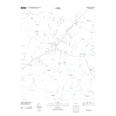
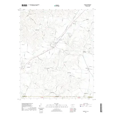 2019 Loretto2019 Print · USGSCovers St. Joseph, including Loretto, Brown Crossroads, and other nearby areas
 - 2019 Map of Saint Joseph, 2019 Print
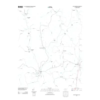
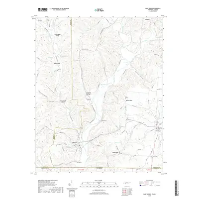 2019 Saint Joseph2019 Print · USGSCovers St. Joseph, including Wayland Springs, Chinubee, and other nearby areas
 - 2022 Map of Loretto, 2022 Print
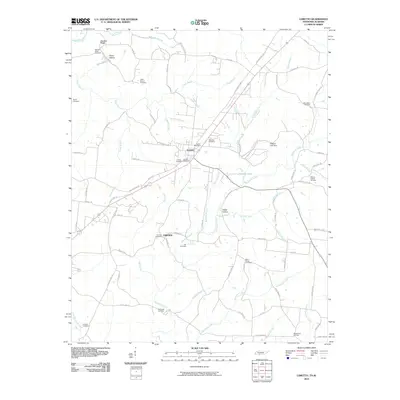
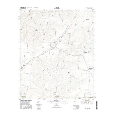
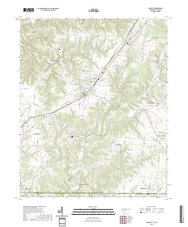 2022 Loretto2022 Print · USGSSouthern Lawrence County is captured here at the Tennessee-Alabama border, where the high ridges give way to the headwaters of Bluewater Cr. Family historians can trace local roots through numerous sites like Sacred Heart Cem, McDougal Cem, and the settlement at Rascal Town.
 - 2022 Map of Saint Joseph, 2022 Print
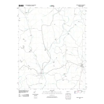
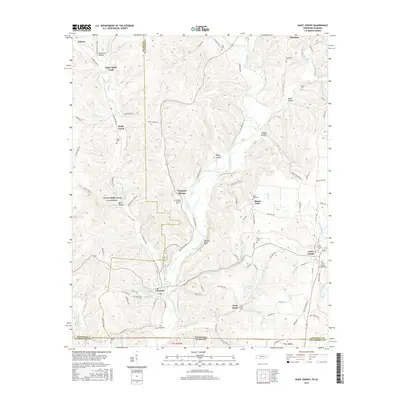
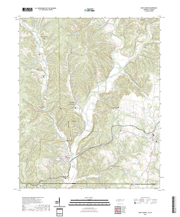 2022 Saint Joseph2022 Print · USGSThe Tennessee and Alabama state line meets in this 2022 survey of the Shoal Creek valley as it appeared in the early twenty-first century. Researchers can trace family history through numerous rural burial sites like Shiloh Cem and the landmarks of Iron City and Wayland Springs.
End of results
Showing maps 1-17 of 17
Top cities near St. Joseph
- Florence historical maps
- Lawrenceburg historical maps
- Underwood-Petersville historical maps
- Loretto historical maps
- Rogersville historical maps
- Killen historical maps
See more
Top neighborhoods of St. Joseph
Frequently asked questions
- What are the different types of historical maps available for St. Joseph?
- What is the oldest map of St. Joseph?
- Where can I purchase historical maps of St. Joseph for my home or office?
- Where can I download high-res historical maps of St. Joseph?
- Are there historical topographic maps available for St. Joseph?
- Is there historical aerial imagery available for St. Joseph?
- Where are historical maps of St. Joseph sourced from?