Old Maps of Metal Ford, Tennessee for Hiking & Exploration
Hike through history with 9 historic maps of Metal Ford. Explore old trails, ghost towns, and forgotten backroads — perfect for outdoor adventurers and local explorers.
- Rediscover forgotten places: Map out old mining camps, roads, and footpaths that no longer exist on modern maps.
- Layer with modern tools: Combine with LiDAR or satellite views to plan hikes through historical terrain.
- Made for exploration: Popular among hikers, overlanders, and local history lovers.
Use these maps to find adventure and explore the hidden past of Metal Ford.
Metal Ford, TN maps
(9)- 1936 Map of Henryville
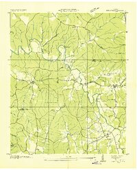 1936 Henryville1936 Print · USGSThe Tennessee hills between Lewis and Lawrence counties come into focus in the mid-1930s, showing a landscape defined by the winding Buffalo River. Researchers can trace old family roots at Henryville Cem or locate community centers like Garrotts Sch and Napier.
 - 1951 Map of Henryville, 1956 Print
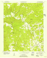 1951 Henryville1956 Print · USGSThe Buffalo River valley in the early fifties shows a landscape of small Tennessee settlements and active mining. You can trace family history at Old Salem Ch or locate old homesteads near Henryville and the Nathez Trace.3 unique versions available
 - 1956 Map of Columbia, 1960 Print
 1956 Columbia1960 Print · USGSMiddle Tennessee in the mid-fifties presents a landscape of established river towns and critical rail hubs before the arrival of the modern interstate system. Researchers can trace the routes of the Louisville and Nashville railroad or locate historic landmarks like Stones River National Military Park and the Tennessee National Wildlife Refuge.6 unique versions available
 - 1985 Map of Lawrenceburg
 1985 Lawrenceburg1985 Print · USGSMiddle Tennessee and Northern Alabama are captured in the mid-1980s, showcasing a landscape of high ridges and winding river valleys. Genealogists and historians can trace rail lines like the Seaboard System Railroad or locate community landmarks such as Saint Marys Church and Three Churches.2 unique versions available
 - 2010 Map of Henryville, 2010 Print
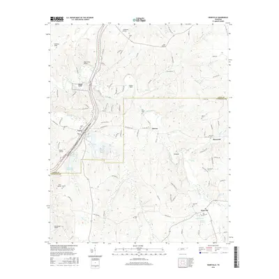
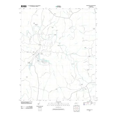 2010 Henryville2010 Print · USGSCovers Metal Ford, including Barnesville, Quercus, and other nearby areas
 - 2013 Map of Henryville, 2013 Print
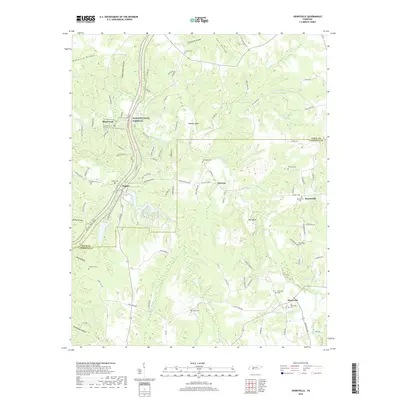
 2013 Henryville2013 Print · USGSCovers Metal Ford, including Barnesville, Quercus, and other nearby areas
 - 2016 Map of Henryville, 2016 Print
 2016 Henryville2016 Print · USGSCovers Metal Ford, including Barnesville, Quercus, and other nearby areas
 - 2019 Map of Henryville, 2019 Print
 2019 Henryville2019 Print · USGSCovers Metal Ford, including Barnesville, Quercus, and other nearby areas
 - 2023 Map of Henryville, 2023 Print
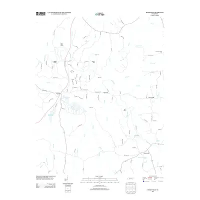
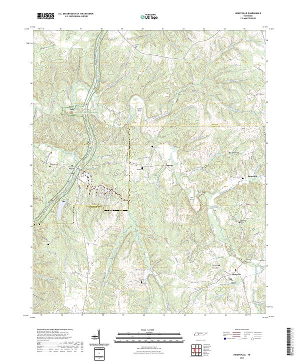 2023 Henryville2023 Print · USGSLawrence and Lewis Counties come into focus in this modern survey of the wooded Tennessee ridges and hollows. Trace local family history and rural settlements through Henryville, Old Salem Cemetery, and the river crossing at Metal Ford.
End of results
Showing maps 1-9 of 9
Top cities near Metal Ford
- Lawrenceburg historical maps
- Hohenwald historical maps
- Ethridge historical maps
- The Farm historical maps
Frequently asked questions
- What are the different types of historical maps available for Metal Ford?
- What is the oldest map of Metal Ford?
- Where can I purchase historical maps of Metal Ford for my home or office?
- Where can I download high-res historical maps of Metal Ford?
- Are there historical topographic maps available for Metal Ford?
- Is there historical aerial imagery available for Metal Ford?
- Where are historical maps of Metal Ford sourced from?