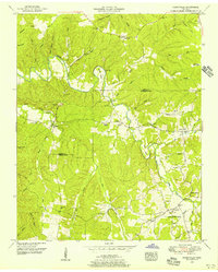
1951 Map of Henryville
USGS Topo · Published 1956About this map
The Buffalo River snakes through this 1951 landscape, defining the topography of the border between Lewis and Lawrence Counties. Small rural hubs like Henryville and Napier serve as anchors for a community shaped by its waterways and timbered ridges. The presence of several strip mines near Napier indicates the local industrial activity of the mid-century, while the historic Nathez Trace cuts across the northwestern corner near Newburg Ridge.
Find a feature on this map
70 named features on this map. Tap any name to fly to it.
Don’t see what you’re looking for? This feature index may not catch every label — zoom into the map to look around manually.
Map Details
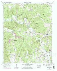
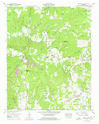
Editions of this 1951 Henryville Map
3 editions found
Other maps of this area

1901 · Colombia
USGS Topo · 1:125,000

1905 · Waynesboro
USGS Topo · 1:125,000

1936 · Riverside
USGS Topo · 1:24,000

1936 · Deerfield
USGS Topo · 1:24,000

1936 · Mt Joy
USGS Topo · 1:24,000

1936 · Henryville
USGS Topo · 1:24,000

1936 · Ethridge
USGS Topo · 1:24,000

1936 · Crestview
USGS Topo · 1:24,000

1936 · Kimmins
USGS Topo · 1:24,000

1936 · Gordonsburg
USGS Topo · 1:24,000