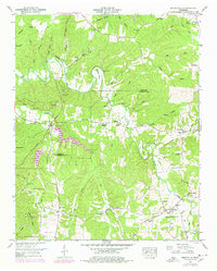
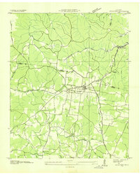
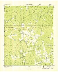
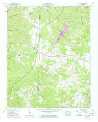
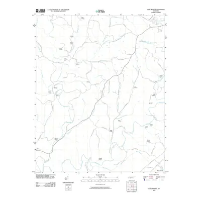
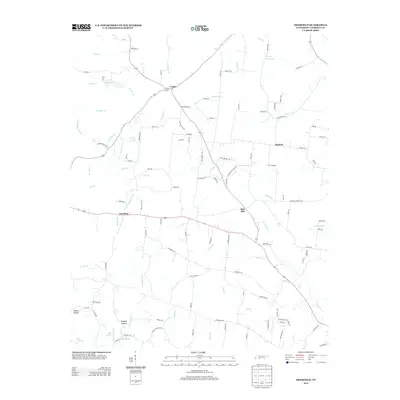
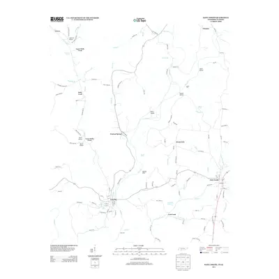
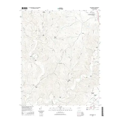
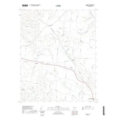
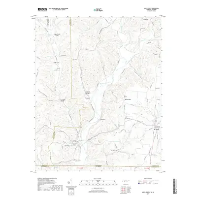
1951 Map of Henryville
USGS Topo · Published 1978About this map
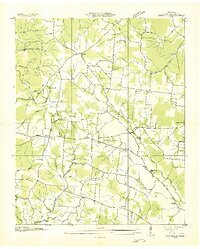
The Buffalo River snakes through the center of this Tennessee landscape, defining the transition between the rugged ridges of Newburg Ridge and the lower creek bottoms. In the early 1950s, the small communities of Henryville and Barnesville served as local anchors, while the Summertown Lookout Tower stood watch over the expansive woodlands to the east. The river's winding path is marked by distinctive features such as Saddler Bend and Ham Bend, with old river crossings like Cooper Ford and Beard Ford indicating historical travel routes before more modern bridges dominated the terrain.
Find a feature on this map
63 named features on this map. Tap any name to fly to it.
Don’t see what you’re looking for? This feature index may not catch every label — zoom into the map to look around manually.
Map Details
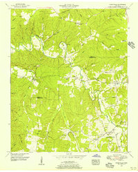
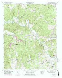
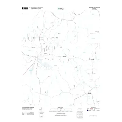
Editions of this 1951 Henryville Map
3 editions found
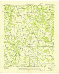
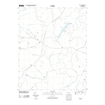
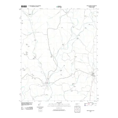
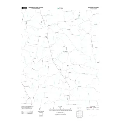
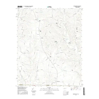
Historical Maps of Barnesville Through Time
41 maps found
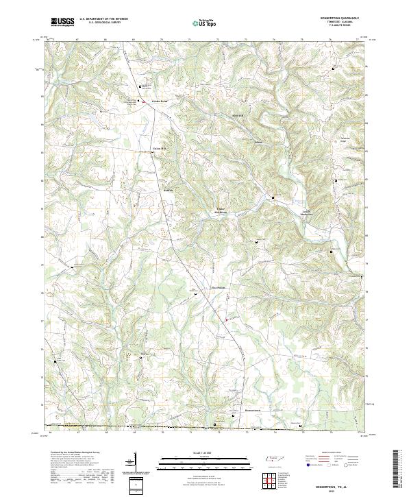
1936 Bonnertown
Lawrence County, TN
1936 Crestview
Lawrence County, TN
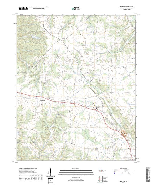
1936 Deerfield
Lawrence County, TN
1936 Henryville
Lawrence County, TN
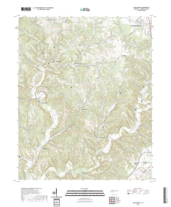
1936 Long Branch
Lawrence County, TN
1936 Ovilla
Lawrence County, TN
1950 Bonnertown
Lawrence County, TN
1950 Deerfield
Lawrence County, TN
1951 Henryville
Lawrence County, TN
1951 Long Branch
Lawrence County, TN
1951 Ovilla
Lawrence County, TN
2010 Bonnertown
Lawrence County, TN
2010 Deerfield
Lawrence County, TN
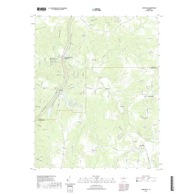
2010 Henryville
Lawrence County, TN
2010 Long Branch
Lawrence County, TN
2010 Ovilla
Lawrence County, TN
2010 Saint Joseph
Lawrence County, TN
2013 Bonnertown
Lawrence County, TN
2013 Deerfield
Lawrence County, TN
2013 Henryville
Lawrence County, TN
2013 Long Branch
Lawrence County, TN
2013 Ovilla
Lawrence County, TN
2013 Saint Joseph
Lawrence County, TN
2016 Bonnertown
Lawrence County, TN
2016 Deerfield
Lawrence County, TN
2016 Henryville
Lawrence County, TN
2016 Long Branch
Lawrence County, TN
2016 Ovilla
Lawrence County, TN
2016 Saint Joseph
Lawrence County, TN
2019 Bonnertown
Lawrence County, TN
2019 Deerfield
Lawrence County, TN
2019 Henryville
Lawrence County, TN
2019 Long Branch
Lawrence County, TN
2019 Ovilla
Lawrence County, TN
2019 Saint Joseph
Lawrence County, TN
2022 Bonnertown
Lawrence County, TN
2022 Deerfield
Lawrence County, TN
2022 Long Branch
Lawrence County, TN
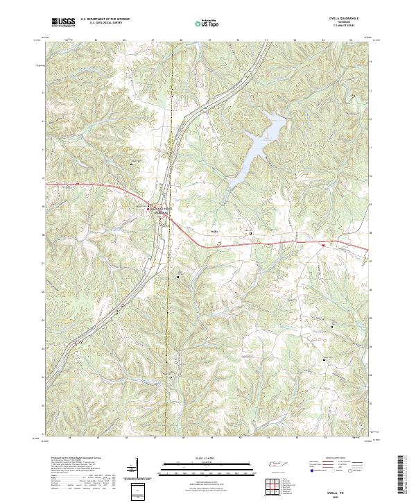
2022 Ovilla
Lawrence County, TN
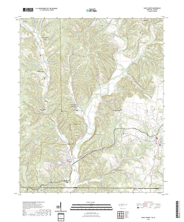
2022 Saint Joseph
Lawrence County, TN
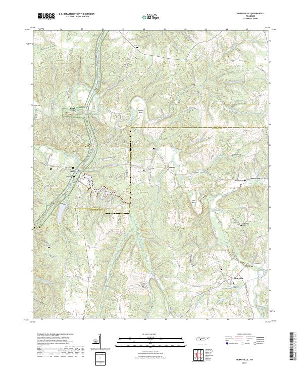
2023 Henryville
Lawrence County, TN