Old Maps of Three Oaks, Tennessee for Metal Detecting
Plan your next treasure hunt with 10 historic maps of Three Oaks. Find old homesites, ghost towns, trails, and gathering spots that may be lost to time — perfect for identifying promising metal detecting locations.
- Locate forgotten sites: Uncover places like long-lost settlements, abandoned rail lines, or gathering spots.
- Plan better hunts: Use map overlays combined with LiDAR or satellite views to narrow in on historically rich areas.
- Made for detectorists: Thousands of hobbyists use these maps to discover relics, coins, and hidden history.
Use these historic maps to boost your research and find new opportunities beneath the surface of Three Oaks.
Three Oaks, TN maps
(10)- 1936 Map of Lincoln
 1936 Lincoln1936 Print · USGSLincoln County in the mid-1930s shows a landscape of river-bend settlements and emerging TVA utility lines. Genealogists can trace family locations near Skinem Cem, Rozells Mill, and rural schoolhouses like Quick Sch or Johnson Sch.
 - 1949 Map of Lincoln, 1973 Print
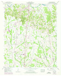 1949 Lincoln1973 Print · USGSMiddle Tennessee's river valleys and rural crossroads are captured here during the late 1940s. Researchers can locate family landmarks like Rozells Mill, the settlement of Skinem, and several country burial sites including Wells Hill Cem.3 unique versions available
 - 1951 Map of Lincoln
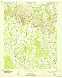 1951 Lincoln1951 Print · USGSThe Tennessee and Alabama borderlands appear here in the early fifties, showing a rural landscape defined by the loops of the Elk River. Local historians can trace the foundations of communities like Lincoln and Boone Falls, or locate family-named sites such as Rozells Mill and Johnson Sch.
 - 1956 Map of Columbia, 1960 Print
 1956 Columbia1960 Print · USGSMiddle Tennessee in the mid-fifties presents a landscape of established river towns and critical rail hubs before the arrival of the modern interstate system. Researchers can trace the routes of the Louisville and Nashville railroad or locate historic landmarks like Stones River National Military Park and the Tennessee National Wildlife Refuge.6 unique versions available
 - 1981 Map of Tullahoma, 1982 Print
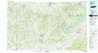 1981 Tullahoma1982 Print · USGSSouthern Tennessee enters the 1980s with a mix of aerospace technology and deep rural roots. Researchers can trace the L & N RR through Shelbyville and Fayetteville or locate family sites like Old Salem Cem and Blanton Chapel near the Cumberland Plateau.
 - 2010 Map of Lincoln, 2010 Print
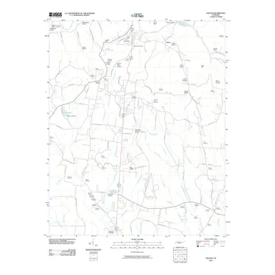 2010 Lincoln2010 Print · USGSLincoln County at the start of the 2010s reveals a deeply personal landscape of family cemeteries and rural ridges. Genealogists can trace hundreds of family ties through landmarks like Lincoln Cemetery, McGee-McCartney Cemetery, and Pea Ridge.
 - 2013 Map of Lincoln, 2013 Print
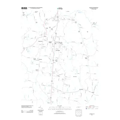 2013 Lincoln2013 Print · USGSLincoln County in the early twenty-first century shows a landscape where modern residential clusters like Park City meet deep-rooted rural settlements. Researchers can trace historic landmarks like Rozells Mill, the settlement of Skinem, and the bend of the Elk River.
 - 2016 Map of Lincoln, 2016 Print
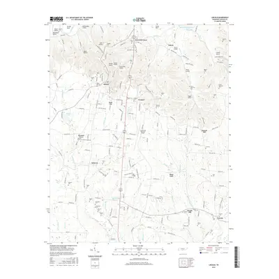 2016 Lincoln2016 Print · USGSLincoln County in the mid-2010s shows a landscape deeply rooted in family history and rural community ties. Researchers can trace ancestral locations through numerous family burial sites like Macedonia Cem and Hancock Cem or locate the historic Rozells Mill.
 - 2019 Map of Lincoln, 2019 Print
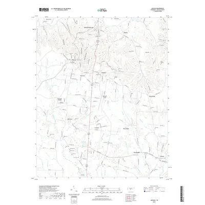 2019 Lincoln2019 Print · USGSLincoln County and the outskirts of Fayetteville are captured here in the late twenty-tens, showing a landscape shaped by the Elk River and deep hollows. Genealogists can locate family burial sites like Wells Hill Cem and Harris Cem or trace the early industrial footprint of Rozells Mill.
 - 2022 Map of Lincoln, 2022 Print
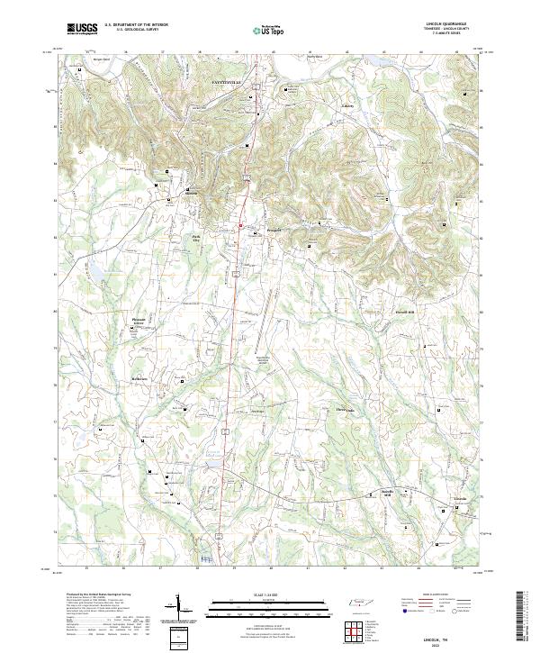 2022 Lincoln2022 Print · USGSSouthern Tennessee near the Alabama border is documented here in the early twenty-first century, centered on the Fayetteville area. Genealogists can locate dozens of family burial sites including Hanks Cem and Simms Cem, or trace the rural crossroads of Skinem and Rozells Mill.
End of results
Showing maps 1-10 of 10
Top cities near Three Oaks
- Huntsville historical maps
- Meridianville historical maps
- Fayetteville historical maps
- Moores Mill historical maps
- Harvest historical maps
- Hazel Green historical maps
See more
Frequently asked questions
- What are the different types of historical maps available for Three Oaks?
- What is the oldest map of Three Oaks?
- Where can I purchase historical maps of Three Oaks for my home or office?
- Where can I download high-res historical maps of Three Oaks?
- Are there historical topographic maps available for Three Oaks?
- Is there historical aerial imagery available for Three Oaks?
- Where are historical maps of Three Oaks sourced from?