2000s (21st Century) Maps of Lenoir City, Tennessee
Explore 15 historic maps of Lenoir City from the 2000s (21st Century). These maps offer a rare glimpse into what life looked like during the 2000s — showing old roads, neighborhoods, homes, and landmarks that have changed or disappeared over time.
Whether you're researching your family's past, planning a metal detecting trip, or studying how Lenoir City's landscape evolved across the 2000s, these high-resolution maps are a powerful tool for exploring the history of this region.
- Focus on a specific era: All maps on this page are from the 2000s, giving you a focused view of this time period.
- See what’s changed: Compare century-old streets, trails, and buildings to today's modern landscape using overlays and satellite layers.
- Research with precision: Use these maps for genealogy, historical research, land use analysis, or educational projects.
- View, download, or print: Maps are fully viewable online in high resolution, and can be downloaded or printed for your own records.
Start exploring Lenoir City's history through authentic maps from the 2000s. This is your window into the past.
Lenoir City, TN maps
(15)- 2010 Map of Concord, 2010 Print
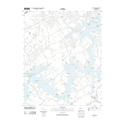 2010 Concord2010 Print · USGSThe Tennessee River valley south of Knoxville is shown here in the early twenty-first century, centered on the waters of Watts Bar Lake. Researchers can trace local heritage through sites like Friendsville Cemetery, Fort Loudoun Dam, and the Concord Post Office.
 - 2010 Map of Lenoir City, 2010 Print
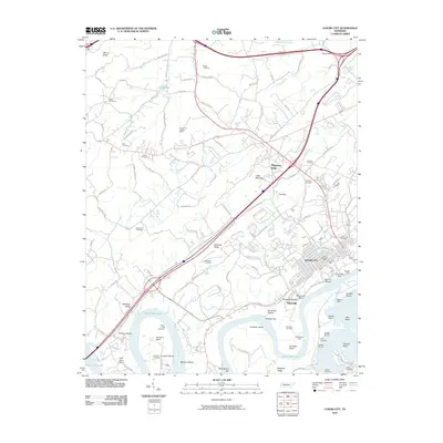 2010 Lenoir City2010 Print · USGSLenoir City and the surrounding river bluffs are shown here in the early twenty-first century, shortly after the 2008 imagery update. Local historians can locate numerous family burial grounds including Pickel Cemetery and landmarks such as the Lenoir Mill or Bussell Ferry.
 - 2010 Map of Bethel Valley, 2010 Print
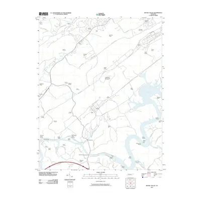 2010 Bethel Valley2010 Print · USGSTennessee's nuclear and hydro-power legacy is visible along the Clinch River during the early twenty-first century. Researchers can trace land use through the United States Atomic Energy Commission grounds, Melton Hill Dam, and the Hope Creek Colony.
 - 2013 Map of Lenoir City, 2013 Print
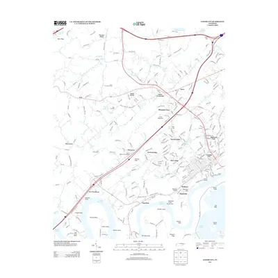 2013 Lenoir City2013 Print · USGSThe confluence of the Tennessee and Little Tennessee Rivers defines this area south of Oak Ridge. Researchers can trace the legacy of river industry and transport through features like the Lenoir Mill, Bussell Island, and the settlement of Sugarlimb.
 - 2013 Map of Bethel Valley, 2013 Print
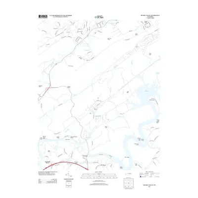 2013 Bethel Valley2013 Print · USGSOak Ridge and the surrounding Tennessee valleys are documented here during a period of modern development and riverfront expansion. Genealogists and local historians can trace the topography of Gamble Valley, find the crossing at Charles Vanden Bulck Bridge, and explore the shoreline of Melton Hill Lake.
 - 2014 Map of Concord, 2014 Print
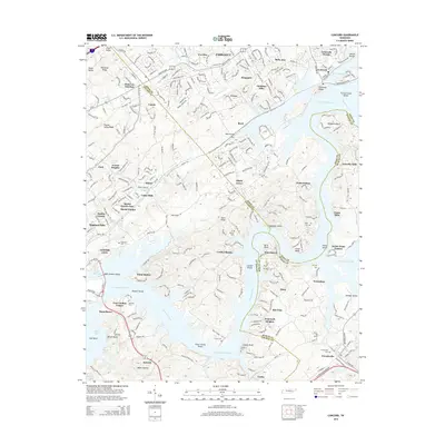 2014 Concord2014 Print · USGSThe confluence of Knox, Loudon, and Blount Counties is captured here in the early twenty-first century as suburban growth meets the Tennessee River. Genealogists can trace several local burial sites like Ish Cem and Early Cem, or locate landmarks like Saltpeter Bluff and Antioch Church.
 - 2016 Map of Concord, 2016 Print
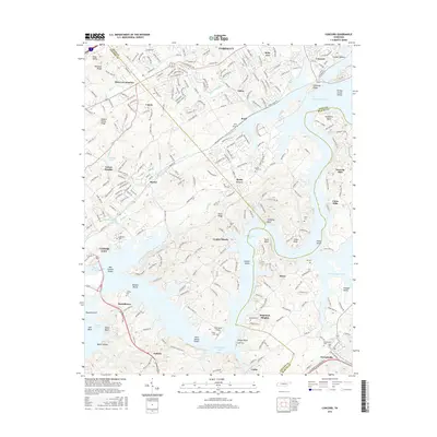 2016 Concord2016 Print · USGSThe confluence of the Tennessee and Little Tennessee rivers comes into focus in this modern survey of eastern Tennessee. Genealogists can locate several historic family burial grounds like Jackson Cem and Ish Cem near the banks of Fort Loudoun Lake.
 - 2016 Map of Bethel Valley, 2016 Print
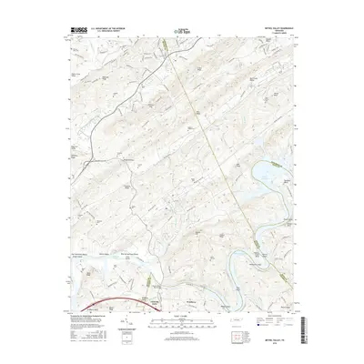 2016 Bethel Valley2016 Print · USGSThe ridge-and-valley landscape west of Knoxville is captured here in the mid-2010s, showing the complex river system near Lenoir City. Genealogists can locate several family landmarks and burial sites, including Thacker Cem, Gallaher Cem, and Douglas Chapel Cem.
 - 2016 Map of Lenoir City, 2016 Print
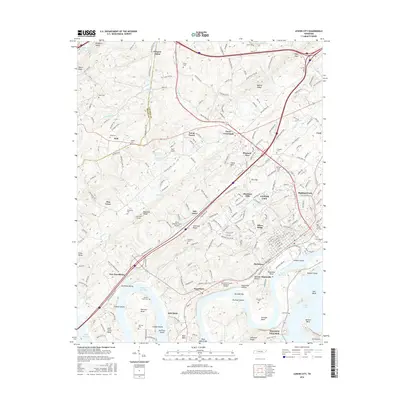 2016 Lenoir City2016 Print · USGSThe Tennessee River valley south of Oak Ridge comes alive in the mid-2010s, showing the intersection of historic river bends and modern development. Researchers can trace numerous family burial sites like Potters Field Cem and Moreland Cem or explore the geography of Bussell Island and Lenoir City.
 - 2019 Map of Lenoir City, 2019 Print
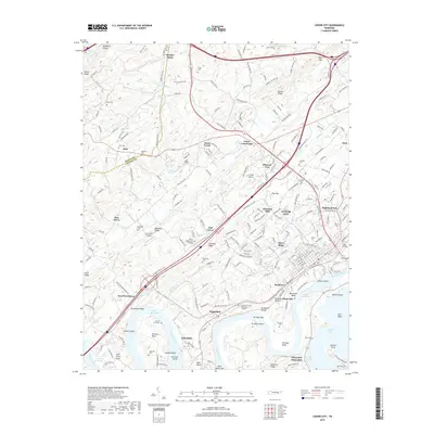 2019 Lenoir City2019 Print · USGSThe Tennessee River and its large reservoirs define this part of Loudon County during the late 2010s. Genealogists and local historians can trace burial sites like Potters Field Cem and landmarks such as Bussell Island or the community at Eaton Crossroads.
 - 2019 Map of Bethel Valley, 2019 Print
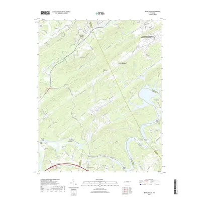 2019 Bethel Valley2019 Print · USGSOak Ridge and the Clinch River valley are shown here in the late twenty-teens, documenting a landscape shaped by nuclear history and river navigation. Researchers can locate many local landmarks such as New Zion Cem, the Manhattan Project National Historical Park, and Gallaher Bend.
 - 2019 Map of Concord, 2019 Print
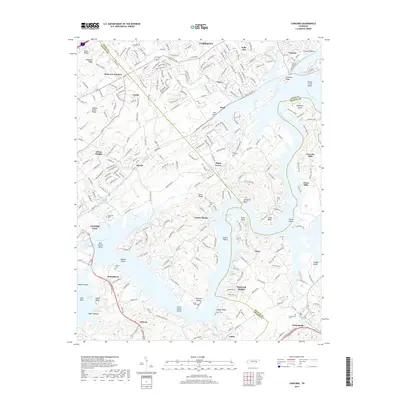 2019 Concord2019 Print · USGSThe Tennessee River valley at the confluence of three counties comes into focus in this recent survey. Local historians can trace family sites like Keener Cem and Prater Cem or explore settlements from Farragut to Friendsville.
 - 2022 Map of Lenoir City, 2022 Print
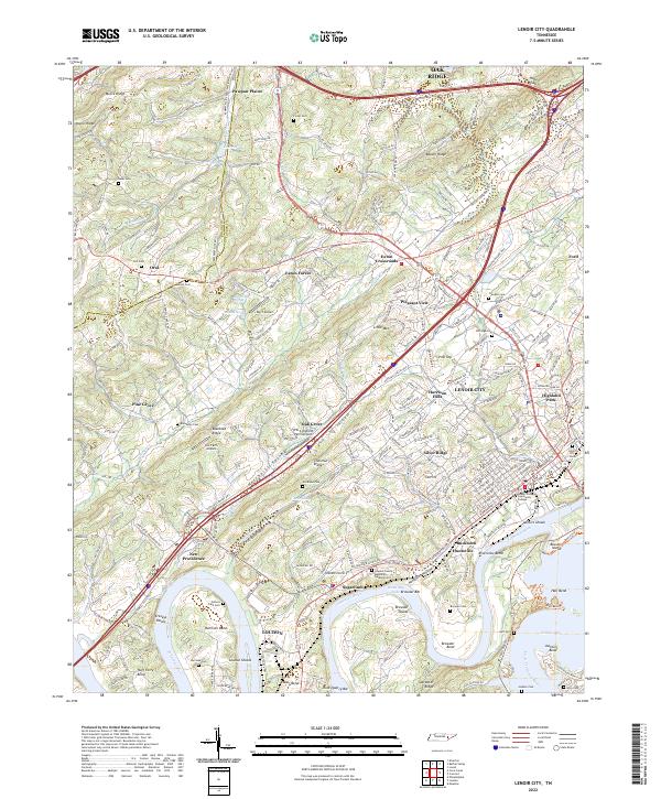 2022 Lenoir City2022 Print · USGSNear the confluence of the Tennessee and Little Tennessee Rivers, this modern survey shows the evolved landscape of Lenoir City and Loudon. Researchers can trace local heritage through sites like Oral Cem, Bussell Island, and the historical bends at Huff Ferry Bend.
 - 2022 Map of Concord, 2022 Print
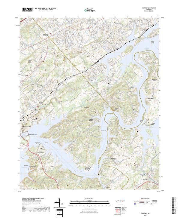 2022 Concord2022 Print · USGSThe Tennessee River valley south of Farragut comes alive here in the early twenty-first century, showing the intersection of historic river settlements and modern lakeside growth. Researchers can trace family roots at Friendsville Cem, locate the site of Busselltown, or explore the geography of Saltpeter Bluff and Sister Island Shoals.
 - 2022 Map of Bethel Valley, 2022 Print
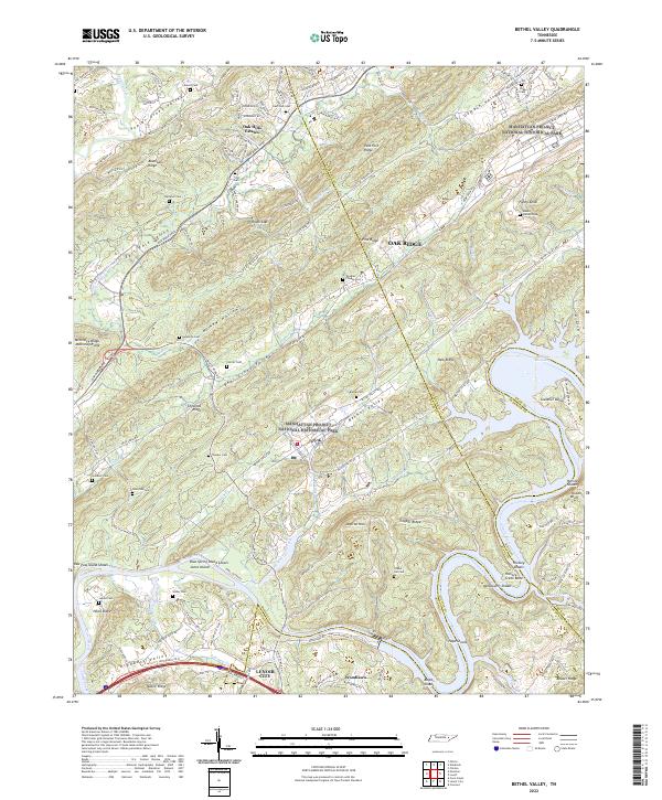 2022 Bethel Valley2022 Print · USGSEastern Tennessee at the edge of the atomic age is revealed here, where high-security federal history overlaps with old valley settlements. Genealogists can trace family landmarks like Douglas Chapel Cem and Gravel Hill Cem near the winding Clinch River.
End of results
Showing maps 1-15 of 15
Top cities near Lenoir City
- Knoxville historical maps
- Maryville historical maps
- Oak Ridge historical maps
- Farragut historical maps
- Powell historical maps
- Tellico Village historical maps
See more
Top neighborhoods of Lenoir City
- Bucktown historical maps
- Sharp Estates historical maps
- Silver Ridge historical maps
- Chestnut Ridge historical maps
Frequently asked questions
- What are the different types of historical maps available for Lenoir City?
- What is the oldest map of Lenoir City?
- Where can I purchase historical maps of Lenoir City for my home or office?
- Where can I download high-res historical maps of Lenoir City?
- Are there historical topographic maps available for Lenoir City?
- Is there historical aerial imagery available for Lenoir City?
- Where are historical maps of Lenoir City sourced from?