Old Maps of Rolling Hills, Lewisburg for Hiking & Exploration
Hike through history with 10 historic maps of Rolling Hills. Explore old trails, ghost towns, and forgotten backroads — perfect for outdoor adventurers and local explorers.
- Rediscover forgotten places: Map out old mining camps, roads, and footpaths that no longer exist on modern maps.
- Layer with modern tools: Combine with LiDAR or satellite views to plan hikes through historical terrain.
- Made for exploration: Popular among hikers, overlanders, and local history lovers.
Use these maps to find adventure and explore the hidden past of Rolling Hills.
Rolling Hills, Lewisburg maps
(10)- 1936 Map of Lewisburg
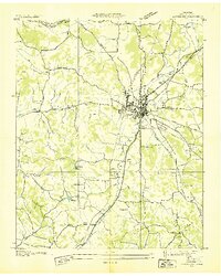 1936 Lewisburg1936 Print · USGSLewisburg was a thriving rail and agricultural hub in the mid-1930s at the intersection of two major rail lines. Researchers can trace family roots at Lone Oak Cem and Gils Chapel or locate the U S Dept of Agriculture Experimental Dairy Farm.
 - 1951 Map of Lewisburg
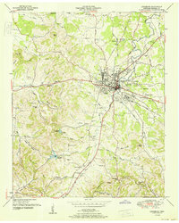 1951 Lewisburg1951 Print · USGSIn the early fifties, Lewisburg was a critical Tennessee rail junction where the Louisville and Nashville met agricultural industry. Researchers can trace dozens of family cemeteries and local landmarks like Howe Station, Pleasant Hill Church, and the U S Experimental Dairy Farm.
 - 1956 Map of Columbia, 1960 Print
 1956 Columbia1960 Print · USGSMiddle Tennessee in the mid-fifties presents a landscape of established river towns and critical rail hubs before the arrival of the modern interstate system. Researchers can trace the routes of the Louisville and Nashville railroad or locate historic landmarks like Stones River National Military Park and the Tennessee National Wildlife Refuge.6 unique versions available
 - 1966 Map of Lewisburg, 1969 Print
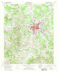 1966 Lewisburg1969 Print · USGSLewisburg and the surrounding Marshall County countryside are captured here in the mid-1960s during a period of suburban growth. Researchers can trace dozens of family burial sites like Tillman Cem and landmarks such as the U S Experimental Dairy Farm or Old Marshall Academy Spring.2 unique versions available
 - 1981 Map of Tullahoma, 1982 Print
 1981 Tullahoma1982 Print · USGSSouthern Tennessee enters the 1980s with a mix of aerospace technology and deep rural roots. Researchers can trace the L & N RR through Shelbyville and Fayetteville or locate family sites like Old Salem Cem and Blanton Chapel near the Cumberland Plateau.
 - 2010 Map of Lewisburg, 2010 Print
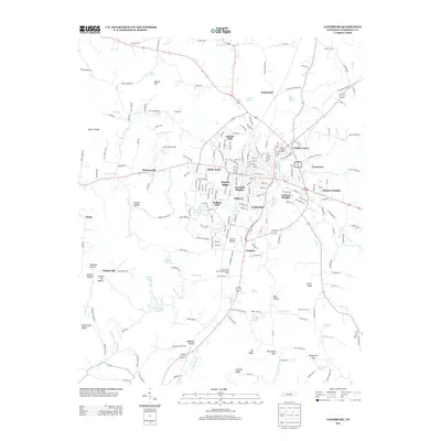
 2010 Lewisburg2010 Print · USGSCovers Rolling Hills, including Lewisburg, Cornersville, and other nearby areas
 - 2013 Map of Lewisburg, 2013 Print
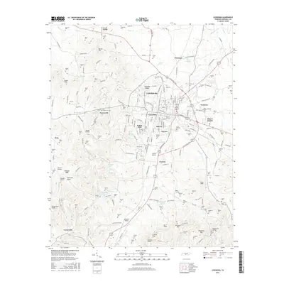
 2013 Lewisburg2013 Print · USGSCovers Rolling Hills, including Lewisburg, Cornersville, and other nearby areas
 - 2016 Map of Lewisburg, 2016 Print
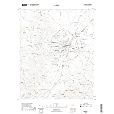
 2016 Lewisburg2016 Print · USGSCovers Rolling Hills, including Lewisburg, Cornersville, and other nearby areas
 - 2019 Map of Lewisburg, 2019 Print
 2019 Lewisburg2019 Print · USGSCovers Rolling Hills, including Lewisburg, Cornersville, and other nearby areas
 - 2022 Map of Lewisburg, 2022 Print
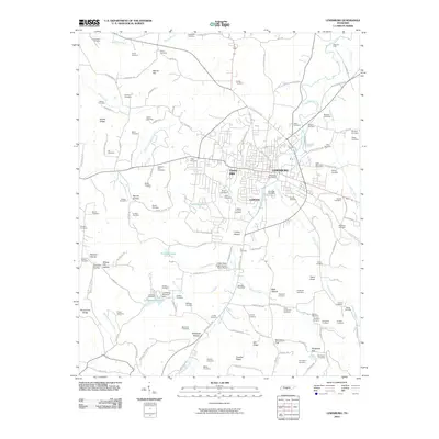
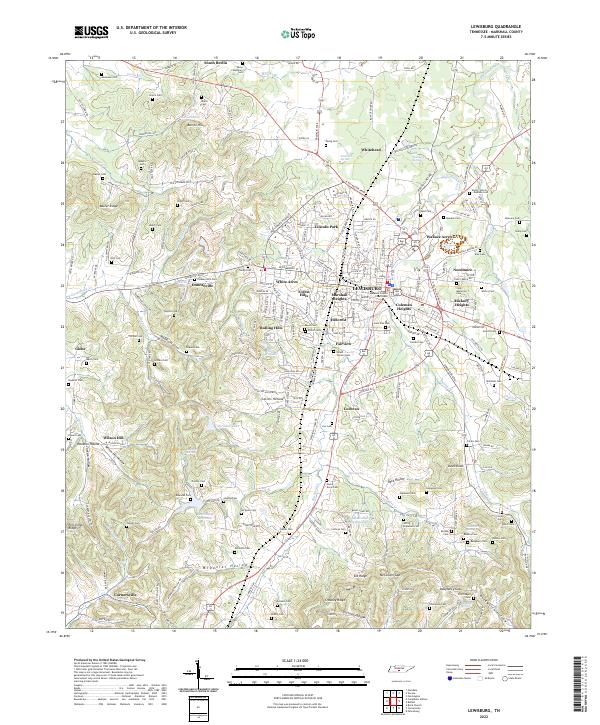 2022 Lewisburg2022 Print · USGSMarshall County's seat is depicted here at the start of the 2020s, showing a community defined by its historic courthouse and central neighborhoods. Genealogists can locate dozens of family-named burial sites like Welch Cem and Cheatham Cem or trace the area's many natural water sources such as Vickrey Spring.
End of results
Showing maps 1-10 of 10
Top cities near Rolling Hills
- Columbia historical maps
- Lewisburg historical maps
- Pulaski historical maps
- Chapel Hill historical maps
- Cornersville historical maps
- Petersburg historical maps
See more
Frequently asked questions
- What are the different types of historical maps available for Rolling Hills?
- What is the oldest map of Rolling Hills?
- Where can I purchase historical maps of Rolling Hills for my home or office?
- Where can I download high-res historical maps of Rolling Hills?
- Are there historical topographic maps available for Rolling Hills?
- Is there historical aerial imagery available for Rolling Hills?
- Where are historical maps of Rolling Hills sourced from?