Old Maps of Tellico West Industrial Complex, Vonore for Hiking & Exploration
Hike through history with 17 historic maps of Tellico West Industrial Complex. Explore old trails, ghost towns, and forgotten backroads — perfect for outdoor adventurers and local explorers.
- Rediscover forgotten places: Map out old mining camps, roads, and footpaths that no longer exist on modern maps.
- Layer with modern tools: Combine with LiDAR or satellite views to plan hikes through historical terrain.
- Made for exploration: Popular among hikers, overlanders, and local history lovers.
Use these maps to find adventure and explore the hidden past of Tellico West Industrial Complex.
Tellico West Industrial Complex, Vonore maps
(17)- 1895 Map of Loudon
 1895 Loudon1895 Print · USGSCovers Tellico West Industrial Complex, including Knoxville, Maryville, and other nearby areas6 unique versions available
 - 1935 Map of Vonore
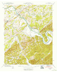
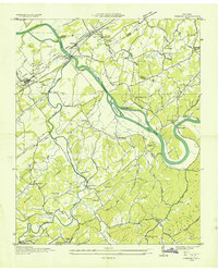 1935 Vonore1935 Print · USGSCovers Tellico West Industrial Complex, including Greenback, Howard, and other nearby areas
 - 1936 Map of Madisonville
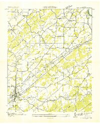 1936 Madisonville1936 Print · USGSCovers Tellico West Industrial Complex, including Madisonville, Vonore, and other nearby areas
 - 1940 Map of Madisonville
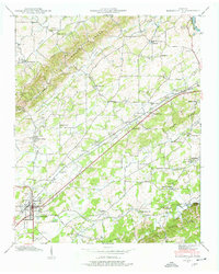 1940 Madisonville1940 Print · USGSCovers Tellico West Industrial Complex, including Madisonville, Vonore, and other nearby areas4 unique versions available
 - 1941 Map of Madisonville
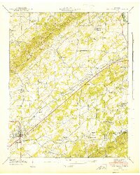 1941 Madisonville1941 Print · USGSCovers Tellico West Industrial Complex, including Madisonville, Vonore, and other nearby areas
 - 1941 Map of Vonore, 1960 Print
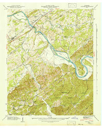
 1941 Vonore1960 Print · USGSCovers Tellico West Industrial Complex, including Greenback, Howard, and other nearby areas5 unique versions available
 - 1942 Map of Vonore
 1942 Vonore1942 Print · USGSCovers Tellico West Industrial Complex, including Greenback, Howard, and other nearby areas
 - 1953 Map of Chattanooga
 1953 Chattanooga1953 Print · USGSCovers Tellico West Industrial Complex, including Knoxville, Chattanooga, and other nearby areas
 - 1957 Map of Chattanooga, 1966 Print
 1957 Chattanooga1966 Print · USGSCovers Tellico West Industrial Complex, including Knoxville, Chattanooga, and other nearby areas3 unique versions available
 - 1959 Map of Chattanooga
 1959 Chattanooga1959 Print · USGSCovers Tellico West Industrial Complex, including Knoxville, Chattanooga, and other nearby areas
 - 1960 Map of Chattanooga
 1960 Chattanooga1960 Print · USGSCovers Tellico West Industrial Complex, including Knoxville, Chattanooga, and other nearby areas
 - 1964 Map of Chattanooga
 1964 Chattanooga1964 Print · USGSCovers Tellico West Industrial Complex, including Knoxville, Chattanooga, and other nearby areas
 - 1981 Map of Watts Bar Lake, 1984 Print
 1981 Watts Bar Lake1984 Print · USGSCovers Tellico West Industrial Complex, including Knoxville, Maryville, and other nearby areas2 unique versions available
 - 2003 Map of Madisonville, 2004 Print
 2003 Madisonville2004 Print · USGSCovers Tellico West Industrial Complex, including Madisonville, Vonore, and other nearby areas
 - 2003 Map of Vonore, 2004 Print
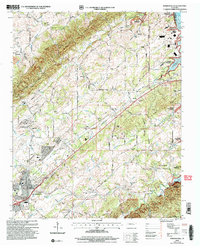
 2003 Vonore2004 Print · USGSCovers Tellico West Industrial Complex, including Greenback, Howard, and other nearby areas
 - 2022 Map of Vonore, 2022 Print
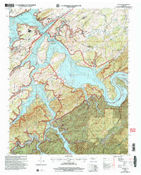
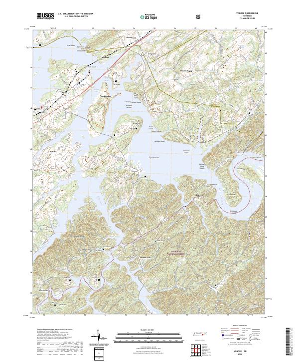 2022 Vonore2022 Print · USGSCovers Tellico West Industrial Complex, including Greenback, Mount Zion, and other nearby areas
 - 2023 Map of Madisonville, 2023 Print
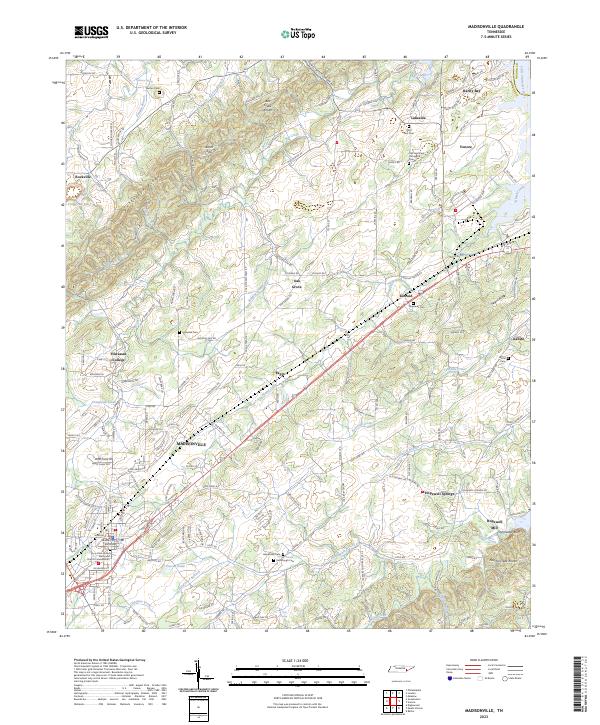 2023 Madisonville2023 Print · USGSCovers Tellico West Industrial Complex, including Madisonville, Rockville, and other nearby areas
End of results
Showing maps 1-17 of 17
Frequently asked questions
- What are the different types of historical maps available for Tellico West Industrial Complex?
- What is the oldest map of Tellico West Industrial Complex?
- Where can I purchase historical maps of Tellico West Industrial Complex for my home or office?
- Where can I download high-res historical maps of Tellico West Industrial Complex?
- Are there historical topographic maps available for Tellico West Industrial Complex?
- Is there historical aerial imagery available for Tellico West Industrial Complex?
- Where are historical maps of Tellico West Industrial Complex sourced from?