Old Maps of Gobey, Tennessee for Academic Research
Study the evolution of Gobey with 13 high-resolution historic maps. Whether you're teaching, researching, or modeling changes in land use, these maps provide essential visual documentation of urban, environmental, and geographic change.
- Analyze long-term change: Track patterns in development, transportation, and natural features.
- Ideal for environmental or urban studies: Support academic projects with primary historical map data.
- Use in the classroom or lab: Educators and researchers rely on these maps to bring historical context to life.
These maps are a powerful tool for teaching, research, and visualizing how Gobey has changed over the decades.
Gobey, TN maps
(13)- 1895 Map of Wartburg
 1895 Wartburg1895 Print · USGSThe Cumberland Plateau of the late nineteenth century comes to life through this record of high-country towns and rivers. Genealogists can trace early homesteads and rail stops from Oneida down to Wartburg, including the distinct colonies at Rugby and Allardt.
 - 1896 Map of Wartburg
 1896 Wartburg1896 Print · USGSThe Cumberland Plateau in the late nineteenth century is captured here as railroads began to transform the mountain economy. Trace the development of utopian Rugby, the county seat at Wartburg, and remote crossings like Island Ford or Big Lick Gap.6 unique versions available
 - 1935 Map of Gobey
 1935 Gobey1935 Print · USGSMorgan County is captured during the mid-1930s when logging and rail lines defined the life of the plateau. Trace the timber economy through the Lumber Company rail spurs and find family landmarks like Elizabeth Sch and Macedonia Ch.
 - 1946 Map of Gobey
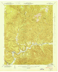 1946 Gobey1946 Print · USGSThe Morgan and Scott County border comes alive in the mid-1940s, showing a region defined by timber transport and mountain hollows. Genealogists can trace family names through Mc Cartt Cem, Elizabeth School, and the winding Emory River Railroad.
 - 1952 Map of Gobey, 1954 Print
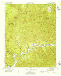 1952 Gobey1954 Print · USGSThe Cumberland Plateau landscape comes to life in the early fifties as the Emory River winds past small mountain communities. Genealogists can trace family footprints through the McCartt Cemetery, Elizabeth School, and the settlement of Gobey.3 unique versions available
 - 1956 Map of Corbin, 1966 Print
 1956 Corbin1966 Print · USGSThe Kentucky and Tennessee borderlands are captured here in the mid-fifties, showing the region's shift toward modern interstate travel and reservoir development. Genealogists and historians can trace old community lines near Albany and Monticello or locate early rail junctions along the Southern and Tennessee Central lines.3 unique versions available
 - 1958 Map of Corbin
 1958 Corbin1958 Print · USGSThe Upper Cumberland borderlands appear in the late 1950s as massive reservoirs and early atomic-era growth reshape the region. Trace family roots and vanished landmarks near Lake Cumberland, Oak Ridge, and the Cumberland National Forest.
 - 1979 Map of Oakridge, 1980 Print
 1979 Oakridge1980 Print · USGSThe eastern Tennessee highlands are captured here in the late 1970s, showcasing a landscape of coal mining and mountain conservation. Genealogists and researchers can locate family landmarks such as Potter Cem, Sunbright Sch, and the historic settlement of Rugby.
 - 2010 Map of Gobey, 2010 Print
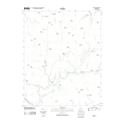 2010 Gobey2010 Print · USGSMorgan County's high ridges and river valleys are captured here in the early twenty-first century. Genealogists and historians can trace family roots through several legacy sites including Elizabeth Church, the Wilson Pewee Mine, and Sexton Cemetery.
 - 2013 Map of Gobey, 2013 Print
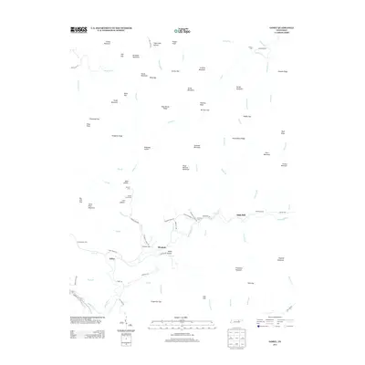 2013 Gobey2013 Print · USGSThe Emory River valley near Elizabeth and Gobey reveals a deeply etched rural landscape in the early twenty-first century. Genealogists and local historians can trace family roots through numerous burial sites like Elizabeth Cem and Greasy Creek Cem.
 - 2016 Map of Gobey, 2016 Print
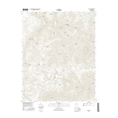 2016 Gobey2016 Print · USGSMorgan and Scott counties are shown in this modern topographic survey, where high ridges and deep hollows define the Tennessee mountains. Genealogists and historians can trace family locations through numerous sites like the Elizabeth Cem, Service Flat, and McCartt Cem along the Emory River.
 - 2019 Map of Gobey, 2019 Print
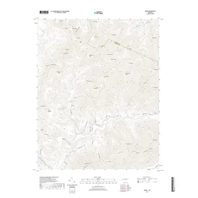 2019 Gobey2019 Print · USGSMorgan and Scott Counties are shown here in the late 2010s, centered on the settlement of Gobey and the winding Emory River. Genealogists and hikers can trace family sites like Elizabeth Cem or follow the path of the Cumberland Trail across Ross Gap.
 - 2022 Map of Gobey, 2022 Print
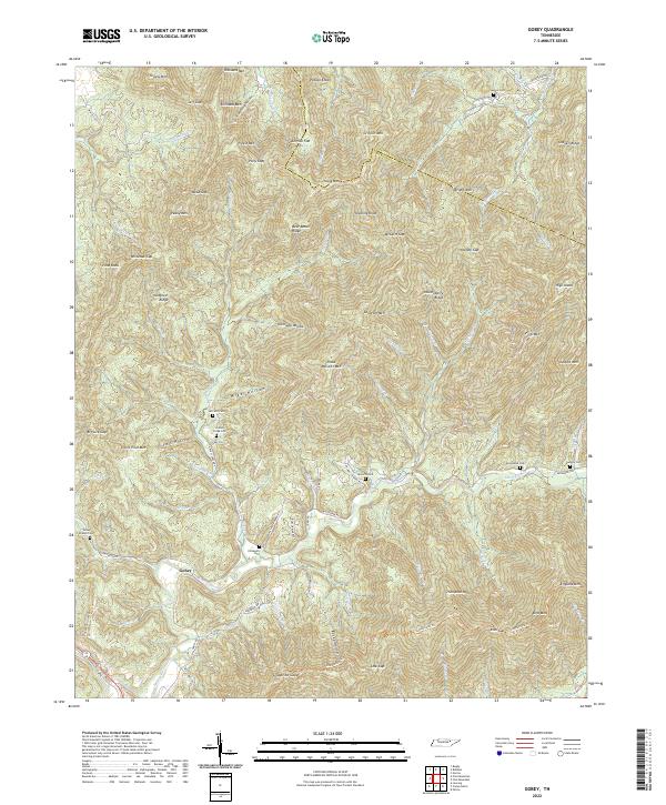 2022 Gobey2022 Print · USGSThe mountain community of Gobey and the surrounding Tennessee highlands are captured here in the early twenty-first century. Genealogists can trace family heritage through local landmarks like Elizabeth Cem, Sexton Cem, and Pleas McCartt Mtn.
End of results
Showing maps 1-13 of 13
Top cities near Gobey
- Oak Ridge historical maps
- Harriman historical maps
- Wartburg historical maps
- Sunbright historical maps
- Oakdale historical maps
Frequently asked questions
- What are the different types of historical maps available for Gobey?
- What is the oldest map of Gobey?
- Where can I purchase historical maps of Gobey for my home or office?
- Where can I download high-res historical maps of Gobey?
- Are there historical topographic maps available for Gobey?
- Is there historical aerial imagery available for Gobey?
- Where are historical maps of Gobey sourced from?