Old Maps of Polk, Tennessee for Hiking & Exploration
Hike through history with 9 historic maps of Polk. Explore old trails, ghost towns, and forgotten backroads — perfect for outdoor adventurers and local explorers.
- Rediscover forgotten places: Map out old mining camps, roads, and footpaths that no longer exist on modern maps.
- Layer with modern tools: Combine with LiDAR or satellite views to plan hikes through historical terrain.
- Made for exploration: Popular among hikers, overlanders, and local history lovers.
Use these maps to find adventure and explore the hidden past of Polk.
Polk, TN maps
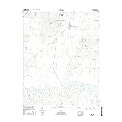
(9)- 1950 Map of Rives, 1970 Print
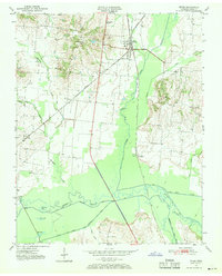 1950 Rives1970 Print · USGSRives and the surrounding Obion County bottomlands are captured here during the mid-century as the region's rail-and-river economy flourished. Genealogists and historians can trace family-named sites like McCutchen Heights, Pleasant Hill Ch, and the intersection of two major railroads at Rives.2 unique versions available
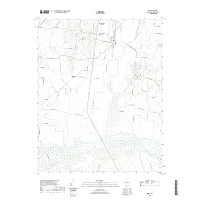
 - 1951 Map of Rives
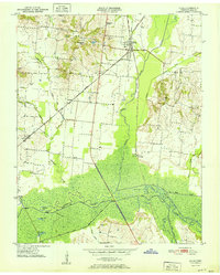 1951 Rives1951 Print · USGSObion County at the start of the 1950s shows a landscape of rail junctions and reclaimed river bottomlands. Researchers can locate family-named settlements like Moffatt and Polk or trace the early church and cemetery locations at Pleasant Hill Ch and Sardis Cem.
 - 1956 Map of Dyersburg, 1960 Print
 1956 Dyersburg1960 Print · USGSThe Four Rivers region comes alive in the mid-fifties, capturing the intricate borderlands of Tennessee, Kentucky, and Missouri. Genealogists and historians can trace the rail-and-river networks connecting Dyersburg, Caruthersville, and the shoreline of Reelfoot Lake.4 unique versions available
 - 1983 Map of Dyersburg
 1983 Dyersburg1983 Print · USGSSpanning the Mississippi River at the start of the 1980s, this area shows the vital river-and-rail connections between Tennessee and Missouri. Researchers can trace family sites at Mount Pisgah Cemetery or study the evolving shoreline near Caruthersville and Reelfoot Lake.
 - 2010 Map of Rives, 2010 Print
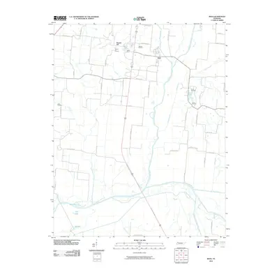 2010 Rives2010 Print · USGSCovers Polk, including Troy, Rives, and other nearby areas
 - 2013 Map of Rives, 2013 Print
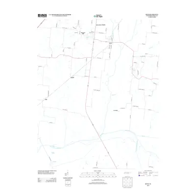 2013 Rives2013 Print · USGSCovers Polk, including Troy, Rives, and other nearby areas
 - 2016 Map of Rives, 2016 Print
 2016 Rives2016 Print · USGSCovers Polk, including Troy, Rives, and other nearby areas
 - 2019 Map of Rives, 2019 Print
 2019 Rives2019 Print · USGSCovers Polk, including Troy, Rives, and other nearby areas
 - 2022 Map of Rives, 2022 Print
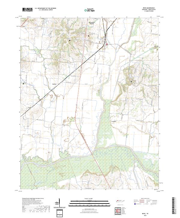 2022 Rives2022 Print · USGSObion County's river bottoms and rural communities are captured here in the early twenty-first century. Researchers can trace family history through local landmarks like Sardis Cem or follow the wetlands surrounding the North Fork Obion River.
End of results
Showing maps 1-9 of 9
Top cities near Polk
- Dyersburg historical maps
- Union City historical maps
- Martin historical maps
- Newbern historical maps
- Fulton historical maps
- South Fulton historical maps
See more
Frequently asked questions
- What are the different types of historical maps available for Polk?
- What is the oldest map of Polk?
- Where can I purchase historical maps of Polk for my home or office?
- Where can I download high-res historical maps of Polk?
- Are there historical topographic maps available for Polk?
- Is there historical aerial imagery available for Polk?
- Where are historical maps of Polk sourced from?