Old Maps of Cedar Hill, Tennessee for Genealogy
Trace your family roots with 16 historic maps of Cedar Hill. These high-res maps reveal old neighborhoods, homesites, landmarks, and streets — helping you uncover where your ancestors lived and how the area evolved over time.
- Explore historic neighborhoods: Identify where your relatives may have lived in the 1800s or 1900s.
- Compare maps over time: Trace the changes in streets, buildings, and landmarks for multi-generational research.
- Perfect for genealogy & ancestry research: Used by family historians and researchers to map out lineage and migration.
These maps are an incredible resource for exploring your personal connection to Cedar Hill's past.
Cedar Hill, TN maps
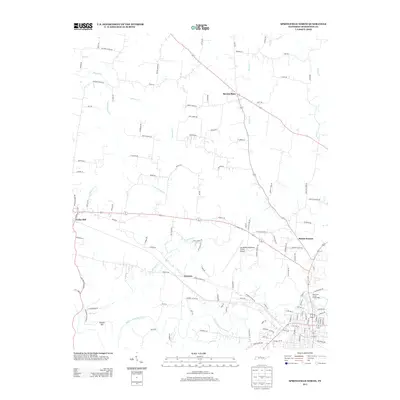
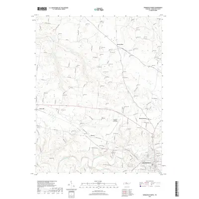
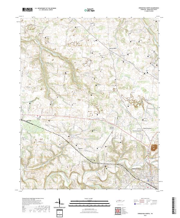
(16)- 1952 Map of Springfield North, 1953 Print
 1952 Springfield North1953 Print · USGSMid-century Robertson County was a landscape of rail-linked towns and rural school districts defined by the winding Sulphur Fork. Genealogists can trace family footprints at Bartlett Cem, Elmwood Cem, and rural centers like Barren Plain or Cedar Hill.2 unique versions available
 - 1956 Map of Nashville, 1971 Print
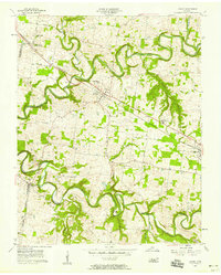
 1956 Nashville1971 Print · USGSThe Tennessee-Kentucky borderlands come into focus in the mid-1960s as major reservoir projects transformed the Cumberland and Tennessee river valleys. Researchers can trace the rail networks of the Louisville and Nashville and visit sites like Fort Campbell and Fort Donelson National Military Park.2 unique versions available
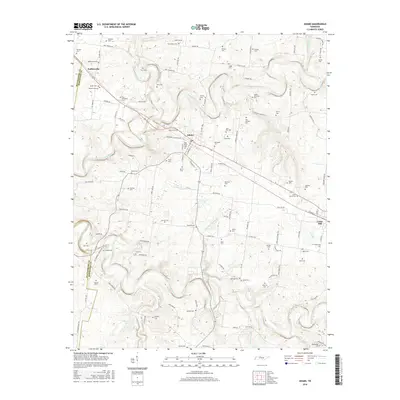
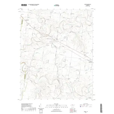
 - 1957 Map of Adams, 1958 Print
 1957 Adams1958 Print · USGSUpper Middle Tennessee was a land of winding river valleys and rail-side hamlets during the mid-fifties. You can trace the historic Louisville and Nashville line through Adams or locate rural landmarks like Jo-Byrns High Sch and Harmony Ch.4 unique versions available
 - 1959 Map of Nashville
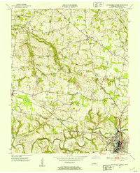
 1959 Nashville1959 Print · USGSMiddle Tennessee and Southern Kentucky come into focus during the late fifties, showing the region's transition into a modern transportation and military hub. Researchers can trace the sprawling Fort Campbell Military Reservation or locate historic rail stops along the Tennessee Central Ry and Illinois Central RR.
 - 1980 Map of Hopkinsville, 1983 Print
 1980 Hopkinsville1983 Print · USGSThe Kentucky and Tennessee borderlands appear here at the start of the 1980s, centered on the massive Fort Campbell Military Reservation. Trace the impact of the Cumberland River impoundment at Lake Barkley or locate rail hubs like Guthrie and Elkton.
 - 1985 Map of Bowling Green
 1985 Bowling Green1985 Print · USGSThe rolling borderlands of Kentucky and Tennessee are captured here in the mid-eighties, showing a landscape shaped by the Barren River and deep-rooted rail networks. Genealogists and researchers can trace local landmarks like Prices Mill, Highland Academy, and Green Lawn Cem.3 unique versions available
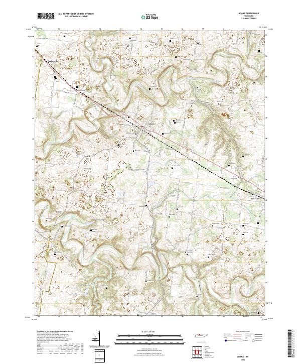
 - 2010 Map of Adams, 2010 Print
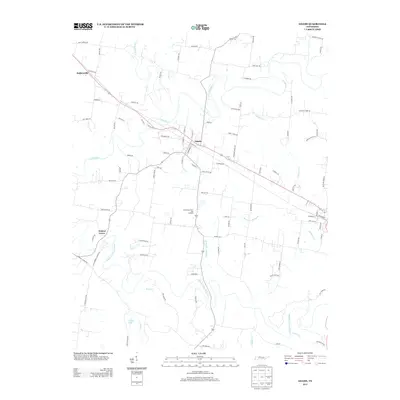
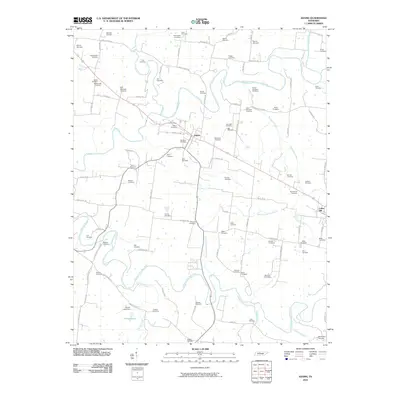 2010 Adams2010 Print · USGSCovers Cedar Hill, including Adams, Walnut Grove, and other nearby areas
 - 2010 Map of Springfield North, 2010 Print
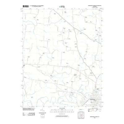 2010 Springfield North2010 Print · USGSCovers Cedar Hill, including Springfield, Mount Denson, and other nearby areas
 - 2013 Map of Adams, 2013 Print
 2013 Adams2013 Print · USGSCovers Cedar Hill, including Adams, Walnut Grove, and other nearby areas
 - 2013 Map of Springfield North, 2013 Print
 2013 Springfield North2013 Print · USGSCovers Cedar Hill, including Springfield, Mount Denson, and other nearby areas
 - 2016 Map of Adams, 2016 Print
 2016 Adams2016 Print · USGSCovers Cedar Hill, including Adams, Walnut Grove, and other nearby areas
 - 2016 Map of Springfield North, 2016 Print
 2016 Springfield North2016 Print · USGSCovers Cedar Hill, including Springfield, Mount Denson, and other nearby areas
 - 2019 Map of Springfield North, 2019 Print
 2019 Springfield North2019 Print · USGSCovers Cedar Hill, including Springfield, Mount Denson, and other nearby areas
 - 2019 Map of Adams, 2019 Print
 2019 Adams2019 Print · USGSCovers Cedar Hill, including Adams, Walnut Grove, and other nearby areas
 - 2022 Map of Adams, 2022 Print
 2022 Adams2022 Print · USGSRobertson County at the start of the 2020s remains a landscape shaped by the Red River and its historic farmsteads. Genealogists can trace family connections through dozens of named burial sites like Fort Wimberly Cem, Sadlersville Cem, and Bellwood Cem.
 - 2022 Map of Springfield North, 2022 Print
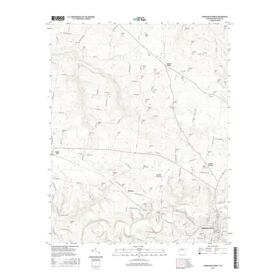
 2022 Springfield North2022 Print · USGSNorthern Robertson County comes alive in this survey, showing the rural expanses and the rising influence of the regional airport. Researchers can trace ancestral connections through dozens of family burial grounds like Lipscomb Cem and Childers Cem near the Sulphur Fork Red River.
End of results
Showing maps 1-16 of 16
Top cities near Cedar Hill
- Nashville historical maps
- Clarksville historical maps
- Springfield historical maps
- Greenbrier historical maps
- Pleasant View historical maps
- Coopertown historical maps
See more
Frequently asked questions
- What are the different types of historical maps available for Cedar Hill?
- What is the oldest map of Cedar Hill?
- Where can I purchase historical maps of Cedar Hill for my home or office?
- Where can I download high-res historical maps of Cedar Hill?
- Are there historical topographic maps available for Cedar Hill?
- Is there historical aerial imagery available for Cedar Hill?
- Where are historical maps of Cedar Hill sourced from?