Old Maps of Christiana, Tennessee for Academic Research
Study the evolution of Christiana with 11 high-resolution historic maps. Whether you're teaching, researching, or modeling changes in land use, these maps provide essential visual documentation of urban, environmental, and geographic change.
- Analyze long-term change: Track patterns in development, transportation, and natural features.
- Ideal for environmental or urban studies: Support academic projects with primary historical map data.
- Use in the classroom or lab: Educators and researchers rely on these maps to bring historical context to life.
These maps are a powerful tool for teaching, research, and visualizing how Christiana has changed over the decades.
Christiana, TN maps
(11)- 1936 Map of Fosterville
 1936 Fosterville1936 Print · USGSThe Rutherford and Bedford county line comes into focus in the mid-1930s as the Tennessee Valley Authority mapped the region's watersheds. Researchers can locate family landmarks such as Woodfin Cem or trace the early paths of U S Highway No 241 and the N C & St L railroad.
 - 1944 Map of Shelbyville
 1944 Shelbyville1944 Print · USGSMid-century Middle Tennessee is captured here during the wartime mobilization of the 1940s. Genealogists and researchers can trace family lands near Bugscuffle, Shelbyville Mills, and the expansive Camp Forrest Military Res.
 - 1949 Map of Fosterville, 1980 Print
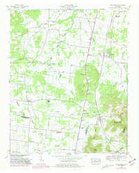 1949 Fosterville1980 Print · USGSRutherford and Bedford Counties are captured in the late 1940s just as infrastructure was modernizing along the Tennessee Valley Divide. Researchers can trace family roots through numerous landmarks like Guy Gap Sch, Alexander Cem, and Brandon Chapel.2 unique versions available
 - 1951 Map of Fosterville
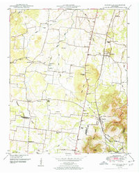 1951 Fosterville1951 Print · USGSIn the early 1950s, this portion of Middle Tennessee remained a landscape of rural schoolhouses and family cemeteries along the railroad. Genealogists and local historians can trace the foundations of Christiana and Fosterville or locate family sites like Alexander Cem and Blankenship Ch.2 unique versions available
 - 1956 Map of Columbia, 1960 Print
 1956 Columbia1960 Print · USGSMiddle Tennessee in the mid-fifties presents a landscape of established river towns and critical rail hubs before the arrival of the modern interstate system. Researchers can trace the routes of the Louisville and Nashville railroad or locate historic landmarks like Stones River National Military Park and the Tennessee National Wildlife Refuge.6 unique versions available
 - 1985 Map of Murfreesboro, 1986 Print
 1985 Murfreesboro1986 Print · USGSMiddle Tennessee in the mid-1980s shows a landscape of growing towns and deep-rooted rural outposts. Local researchers can trace old family lines near Bell Buckle, locate landmarks like Donnel Chapel, or explore the grounds of Henry Horton State Park and Hoovers Gap.
 - 2010 Map of Fosterville, 2010 Print
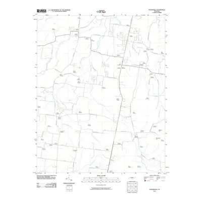 2010 Fosterville2010 Print · USGSThe rural landscapes south of Murfreesboro come into focus in this recent survey of Tennessee's heartland. Researchers can trace dozens of family burial grounds and historic markers, including the Christiana Post Office, Nebo Knobs, and Alexander Cemetery.
 - 2013 Map of Fosterville, 2013 Print
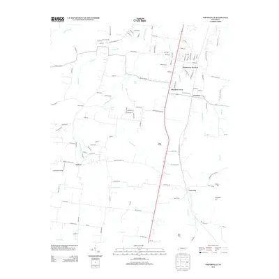 2013 Fosterville2013 Print · USGSRutherford County at the start of the 2010s shows a landscape of growing residential developments alongside established rural communities. Researchers can trace the local water network from Johns Spring to the W Fork Stones River and locate landmarks like Long Meadow Airstrip and the Nebo Knobs.
 - 2016 Map of Fosterville, 2016 Print
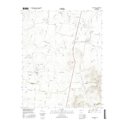 2016 Fosterville2016 Print · USGSRutherford and Bedford Counties are captured in the mid-2010s, showing a landscape of family farms and historic crossroads. Genealogists can locate dozens of ancestral burial sites like Snell Cem and Kimbro Cem near Fosterville and Christiana.
 - 2019 Map of Fosterville, 2019 Print
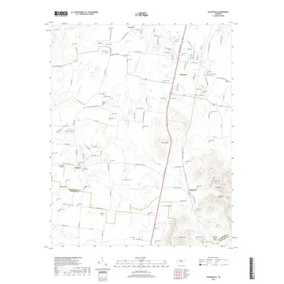 2019 Fosterville2019 Print · USGSThe rural landscapes of Rutherford and Bedford counties are captured here in the late twenty-teens, centered on the historic communities of Christiana and Fosterville. Genealogists and researchers can locate dozens of family burial grounds, including the McCord Cem, Norman Cem, and Bingham Cem.
 - 2022 Map of Fosterville, 2022 Print
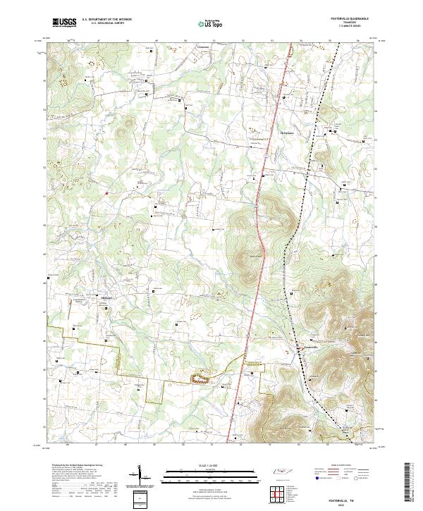 2022 Fosterville2022 Print · USGSRutherford and Bedford counties are shown here in the early twenty-first century as the landscape rises toward the Tennessee Valley Divide. Genealogists can trace family heritage through dozens of burial sites like Isaac Miller Cem and Kimbro Cem near Fosterville.
End of results
Showing maps 1-11 of 11
Top cities near Christiana
- Murfreesboro historical maps
- Smyrna historical maps
- Shelbyville historical maps
- Eagleville historical maps
- Wartrace historical maps
- Bell Buckle historical maps
Frequently asked questions
- What are the different types of historical maps available for Christiana?
- What is the oldest map of Christiana?
- Where can I purchase historical maps of Christiana for my home or office?
- Where can I download high-res historical maps of Christiana?
- Are there historical topographic maps available for Christiana?
- Is there historical aerial imagery available for Christiana?
- Where are historical maps of Christiana sourced from?