2000s (21st Century) Maps of Gatlinburg, Tennessee
Explore 16 historic maps of Gatlinburg from the 2000s (21st Century). These maps offer a rare glimpse into what life looked like during the 2000s — showing old roads, neighborhoods, homes, and landmarks that have changed or disappeared over time.
Whether you're researching your family's past, planning a metal detecting trip, or studying how Gatlinburg's landscape evolved across the 2000s, these high-resolution maps are a powerful tool for exploring the history of this region.
- Focus on a specific era: All maps on this page are from the 2000s, giving you a focused view of this time period.
- See what’s changed: Compare century-old streets, trails, and buildings to today's modern landscape using overlays and satellite layers.
- Research with precision: Use these maps for genealogy, historical research, land use analysis, or educational projects.
- View, download, or print: Maps are fully viewable online in high resolution, and can be downloaded or printed for your own records.
Start exploring Gatlinburg's history through authentic maps from the 2000s. This is your window into the past.
Gatlinburg, TN maps
(16)- 2000 Map of Gatlinburg, 2001 Print
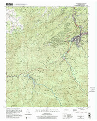 2000 Gatlinburg2001 Print · USGSGatlinburg and the northern Smokies appear here at the turn of the millennium, showing the transition from mountain resort to protected wilderness. Researchers can locate family cemeteries like Beech Grove Cem and legacy sites such as Elkmont and Starkeytown.
 - 2010 Map of Richardson Cove, 2010 Print
 2010 Richardson Cove2010 Print · USGSCovers Gatlinburg, including Sevierville, Pittman Center, and other nearby areas
 - 2010 Map of Gatlinburg, 2010 Print
 2010 Gatlinburg2010 Print · USGSCovers Gatlinburg, including Starkeytown, Sugarlands, and other nearby areas
 - 2010 Map of Mount Le Conte, 2010 Print
 2010 Mount Le Conte2010 Print · USGSCovers Gatlinburg, including Pittman Center, Cartertown, and other nearby areas
 - 2013 Map of Richardson Cove, 2013 Print
 2013 Richardson Cove2013 Print · USGSCovers Gatlinburg, including Sevierville, Pittman Center, and other nearby areas
 - 2013 Map of Mount Le Conte, 2013 Print
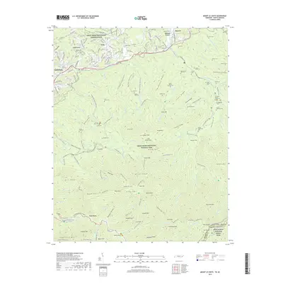
 2013 Mount Le Conte2013 Print · USGSCovers Gatlinburg, including Pittman Center, Cartertown, and other nearby areas
 - 2013 Map of Gatlinburg, 2013 Print
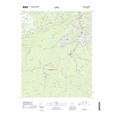
 2013 Gatlinburg2013 Print · USGSCovers Gatlinburg, including Starkeytown, Sugarlands, and other nearby areas
 - 2016 Map of Richardson Cove, 2016 Print
 2016 Richardson Cove2016 Print · USGSCovers Gatlinburg, including Sevierville, Pittman Center, and other nearby areas
 - 2016 Map of Mount Le Conte, 2016 Print
 2016 Mount Le Conte2016 Print · USGSCovers Gatlinburg, including Pittman Center, Cartertown, and other nearby areas
 - 2016 Map of Gatlinburg, 2016 Print
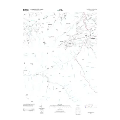
 2016 Gatlinburg2016 Print · USGSCovers Gatlinburg, including Starkeytown, Sugarlands, and other nearby areas
 - 2019 Map of Gatlinburg, 2019 Print
 2019 Gatlinburg2019 Print · USGSCovers Gatlinburg, including Starkeytown, Sugarlands, and other nearby areas
 - 2019 Map of Richardson Cove, 2019 Print
 2019 Richardson Cove2019 Print · USGSCovers Gatlinburg, including Sevierville, Pittman Center, and other nearby areas
 - 2019 Map of Mount Le Conte, 2019 Print
 2019 Mount Le Conte2019 Print · USGSCovers Gatlinburg, including Pittman Center, Cartertown, and other nearby areas
 - 2022 Map of Richardson Cove, 2022 Print
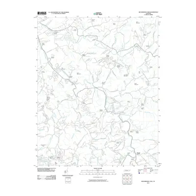
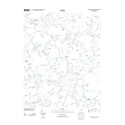
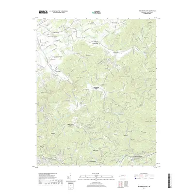
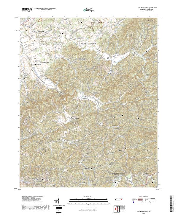 2022 Richardson Cove2022 Print · USGSSevier County communities and mountain gaps are mapped in detail here as the modern era meets the edge of the national forest. Researchers can trace family history through dozens of rural landmarks, including Catons Chapel Cemetery, Richardson Cove, and the Marion Green Cemetery.
 - 2022 Map of Gatlinburg, 2022 Print
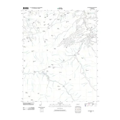
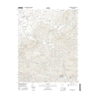
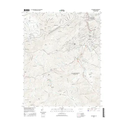
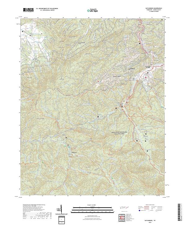 2022 Gatlinburg2022 Print · USGSGatlinburg and the high ridges of the Smokies appear in this modern survey, capturing the gateway to the national park. Genealogists can locate family burial grounds including the Old Sugarlands Cem, Levi Trentham Cem, and Vance Newman Cem.
 - 2022 Map of Mount Le Conte, 2022 Print
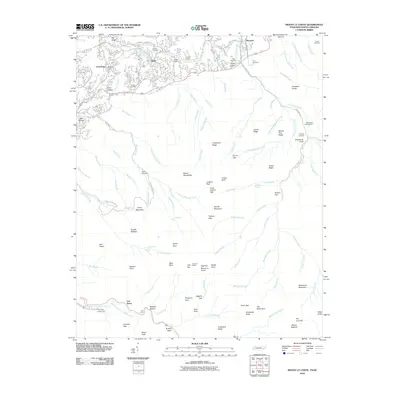
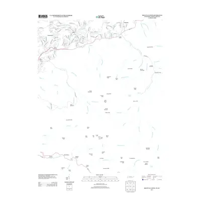
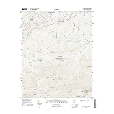
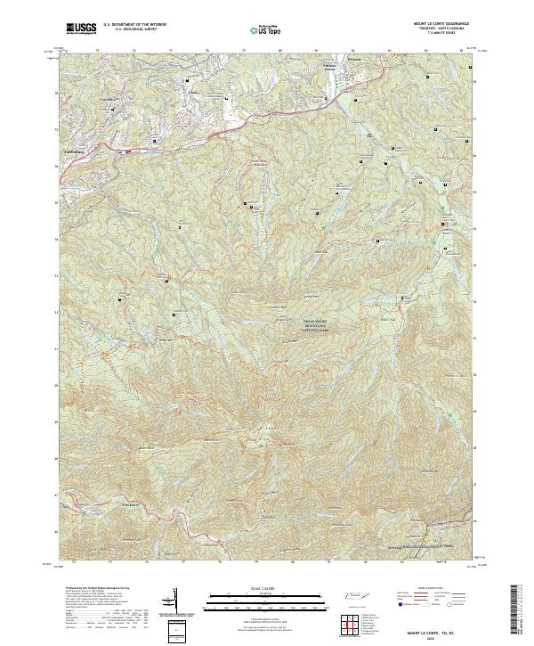 2022 Mount Le Conte2022 Print · USGSGatlinburg and the high peaks of the Smokies are captured here during the early twenty-first century. Family history researchers can locate numerous remote burial sites like Nations Child Cem and Mellinger Cem or trace the early paths of the Old Sugarlands Trl.
End of results
Showing maps 1-16 of 16
Top cities near Gatlinburg
- Knoxville historical maps
- Sevierville historical maps
- Newport historical maps
- Pigeon Forge historical maps
- Pittman Center historical maps
Top neighborhoods of Gatlinburg
Frequently asked questions
- What are the different types of historical maps available for Gatlinburg?
- What is the oldest map of Gatlinburg?
- Where can I purchase historical maps of Gatlinburg for my home or office?
- Where can I download high-res historical maps of Gatlinburg?
- Are there historical topographic maps available for Gatlinburg?
- Is there historical aerial imagery available for Gatlinburg?
- Where are historical maps of Gatlinburg sourced from?