Old Maps of Cato, Tennessee for Academic Research
Study the evolution of Cato with 10 high-resolution historic maps. Whether you're teaching, researching, or modeling changes in land use, these maps provide essential visual documentation of urban, environmental, and geographic change.
- Analyze long-term change: Track patterns in development, transportation, and natural features.
- Ideal for environmental or urban studies: Support academic projects with primary historical map data.
- Use in the classroom or lab: Educators and researchers rely on these maps to bring historical context to life.
These maps are a powerful tool for teaching, research, and visualizing how Cato has changed over the decades.
Cato, TN maps
(10)- 1956 Map of Nashville, 1971 Print
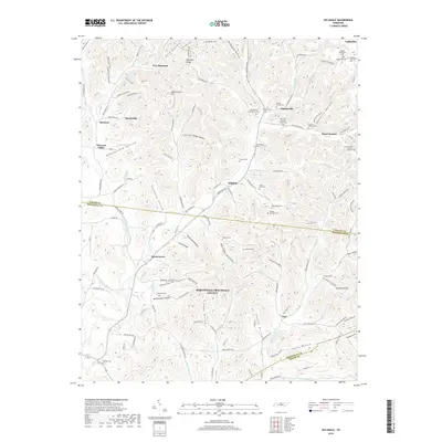
 1956 Nashville1971 Print · USGSThe Tennessee-Kentucky borderlands come into focus in the mid-1960s as major reservoir projects transformed the Cumberland and Tennessee river valleys. Researchers can trace the rail networks of the Louisville and Nashville and visit sites like Fort Campbell and Fort Donelson National Military Park.2 unique versions available
 - 1959 Map of Nashville
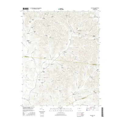
 1959 Nashville1959 Print · USGSMiddle Tennessee and Southern Kentucky come into focus during the late fifties, showing the region's transition into a modern transportation and military hub. Researchers can trace the sprawling Fort Campbell Military Reservation or locate historic rail stops along the Tennessee Central Ry and Illinois Central RR.
 - 1959 Map of Hillsdale, 1960 Print
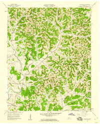 1959 Hillsdale1960 Print · USGSMacon and Trousdale counties come into focus during the late fifties, showcasing a rural Tennessee landscape defined by narrow hollows and ridge-top roads. Genealogists can trace family names through dozens of landmarks like Wilburn Cem, Stafford Cem, and the community of New Harmony.2 unique versions available
 - 1984 Map of Nashville, 1985 Print
 1984 Nashville1985 Print · USGSMiddle Tennessee in the mid-1980s reveals a region balancing urban expansion with its deep river-valley roots. Genealogists and historians can trace family locations near Old Hickory Lake, explore the grounds of Vanderbilt University, or locate ancestral sites like Greenwood Cem.
 - 1994 Map of Hillsdale, 1997 Print
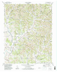 1994 Hillsdale1997 Print · USGSThe rural borders of Macon and Trousdale counties come into focus in the mid-1990s, revealing a landscape of family-named hollows and ridge-top settlements. Genealogists and local researchers can trace historic community hubs like Hillsdale, Horsleys, and Beech Hill alongside numerous unnamed cemeteries and local landmarks.
 - 2010 Map of Hillsdale, 2010 Print
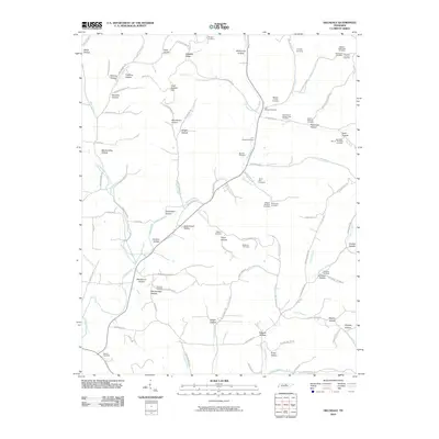 2010 Hillsdale2010 Print · USGSCovers Cato, including Lafayette, Beech Hill, and other nearby areas
 - 2013 Map of Hillsdale, 2013 Print
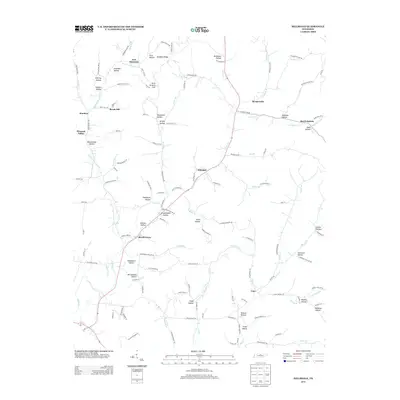 2013 Hillsdale2013 Print · USGSCovers Cato, including Lafayette, Beech Hill, and other nearby areas
 - 2016 Map of Hillsdale, 2016 Print
 2016 Hillsdale2016 Print · USGSCovers Cato, including Lafayette, Beech Hill, and other nearby areas
 - 2019 Map of Hillsdale, 2019 Print
 2019 Hillsdale2019 Print · USGSCovers Cato, including Lafayette, Beech Hill, and other nearby areas
 - 2022 Map of Hillsdale, 2022 Print
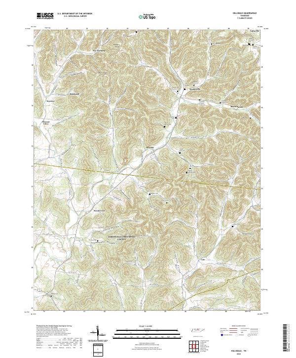 2022 Hillsdale2022 Print · USGSMacon and Trousdale counties in north-central Tennessee are shown here as a landscape of deep hollows and family-named ridges. Local historians can trace family ties through numerous burial sites like Meadorville Graveyard Cem, Stalcup Cem, and Wallace Cem.
End of results
Showing maps 1-10 of 10
Top cities near Cato
- Lebanon historical maps
- Lafayette historical maps
- Carthage historical maps
- Westmoreland historical maps
- South Carthage historical maps
- Gordonsville historical maps
See more
Frequently asked questions
- What are the different types of historical maps available for Cato?
- What is the oldest map of Cato?
- Where can I purchase historical maps of Cato for my home or office?
- Where can I download high-res historical maps of Cato?
- Are there historical topographic maps available for Cato?
- Is there historical aerial imagery available for Cato?
- Where are historical maps of Cato sourced from?