Old Maps of Shady Grove, Tennessee for Hiking & Exploration
Hike through history with 10 historic maps of Shady Grove. Explore old trails, ghost towns, and forgotten backroads — perfect for outdoor adventurers and local explorers.
- Rediscover forgotten places: Map out old mining camps, roads, and footpaths that no longer exist on modern maps.
- Layer with modern tools: Combine with LiDAR or satellite views to plan hikes through historical terrain.
- Made for exploration: Popular among hikers, overlanders, and local history lovers.
Use these maps to find adventure and explore the hidden past of Shady Grove.
Shady Grove, TN maps
(10)- 1956 Map of Nashville, 1971 Print
 1956 Nashville1971 Print · USGSThe Tennessee-Kentucky borderlands come into focus in the mid-1960s as major reservoir projects transformed the Cumberland and Tennessee river valleys. Researchers can trace the rail networks of the Louisville and Nashville and visit sites like Fort Campbell and Fort Donelson National Military Park.2 unique versions available
 - 1958 Map of Bellwood, 1959 Print
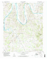
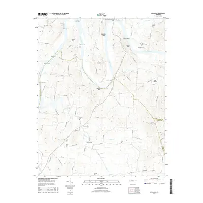
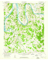 1958 Bellwood1959 Print · USGSWilson County in the late fifties shows a rural landscape shaped by the winding Cumberland River and the newer waters of Old Hickory Lake. Genealogists can locate family landmarks like Tomlinson Cem, Wier Cem, and the Conway Sch in the hills near Centerville.3 unique versions available
 - 1959 Map of Nashville
 1959 Nashville1959 Print · USGSMiddle Tennessee and Southern Kentucky come into focus during the late fifties, showing the region's transition into a modern transportation and military hub. Researchers can trace the sprawling Fort Campbell Military Reservation or locate historic rail stops along the Tennessee Central Ry and Illinois Central RR.
 - 1984 Map of Nashville, 1985 Print
 1984 Nashville1985 Print · USGSMiddle Tennessee in the mid-1980s reveals a region balancing urban expansion with its deep river-valley roots. Genealogists and historians can trace family locations near Old Hickory Lake, explore the grounds of Vanderbilt University, or locate ancestral sites like Greenwood Cem.
 - 1994 Map of Bellwood, 1997 Print
 1994 Bellwood1997 Print · USGSThe river bends and rural uplands of the Wilson and Trousdale county lines are shown here during the late twentieth century. Researchers can trace family sites from Centerville to Taylorsville, alongside landmarks like Dickerson Chapel and Tomlinson Cem.
 - 2010 Map of Bellwood, 2010 Print
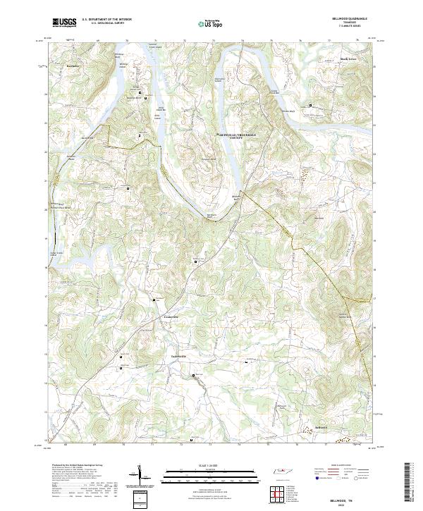
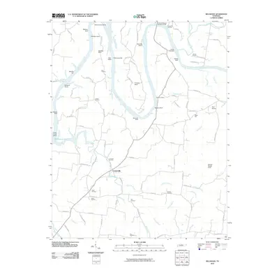 2010 Bellwood2010 Print · USGSCovers Shady Grove, including Centerville, Taylorsville, and other nearby areas
 - 2013 Map of Bellwood, 2013 Print
 2013 Bellwood2013 Print · USGSCovers Shady Grove, including Centerville, Taylorsville, and other nearby areas
 - 2016 Map of Bellwood, 2016 Print
 2016 Bellwood2016 Print · USGSCovers Shady Grove, including Centerville, Taylorsville, and other nearby areas
 - 2019 Map of Bellwood, 2019 Print
 2019 Bellwood2019 Print · USGSCovers Shady Grove, including Centerville, Taylorsville, and other nearby areas
 - 2022 Map of Bellwood, 2022 Print
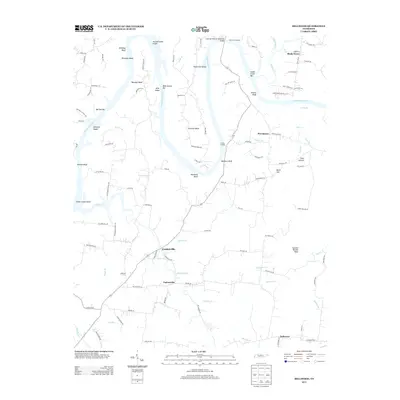
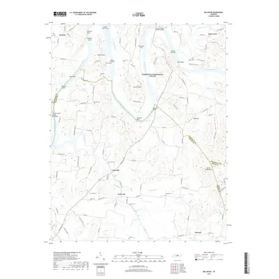
 2022 Bellwood2022 Print · USGSThe winding banks of the Cumberland River in Wilson County come to life in this detailed study of the modern Tennessee landscape. Researchers can trace family history through numerous small burial grounds like Jackson Cem and Goshen Cem or explore settlements at Taylorsville and Centerville.
End of results
Showing maps 1-10 of 10
Top cities near Shady Grove
- Lebanon historical maps
- Lafayette historical maps
- Carthage historical maps
- Westmoreland historical maps
- South Carthage historical maps
- Gordonsville historical maps
Frequently asked questions
- What are the different types of historical maps available for Shady Grove?
- What is the oldest map of Shady Grove?
- Where can I purchase historical maps of Shady Grove for my home or office?
- Where can I download high-res historical maps of Shady Grove?
- Are there historical topographic maps available for Shady Grove?
- Is there historical aerial imagery available for Shady Grove?
- Where are historical maps of Shady Grove sourced from?