Old Maps of Laurelburg, Tennessee for Hiking & Exploration
Hike through history with 14 historic maps of Laurelburg. Explore old trails, ghost towns, and forgotten backroads — perfect for outdoor adventurers and local explorers.
- Rediscover forgotten places: Map out old mining camps, roads, and footpaths that no longer exist on modern maps.
- Layer with modern tools: Combine with LiDAR or satellite views to plan hikes through historical terrain.
- Made for exploration: Popular among hikers, overlanders, and local history lovers.
Use these maps to find adventure and explore the hidden past of Laurelburg.
Laurelburg, TN maps
(14)- 1893 Map of Mc Minnville
 1893 Mc Minnville1893 Print · USGSThe river-and-rail economy of Warren and DeKalb counties is captured here in the 1890s. Researchers can trace old ferry crossings like Pin Hook Ferry and local industry at Daly Mill or Magness Mills.
 - 1895 Map of Mc Minnville
 1895 Mc Minnville1895 Print · USGSWarren and DeKalb Counties in the 1890s are defined by the winding Collins River and the early rail lines connecting the Highland Rim. Genealogists can trace family footprints near Magness Mills, White Seminary, or old river crossings like Bailiff Old Ferry.5 unique versions available
 - 1953 Map of Chattanooga
 1953 Chattanooga1953 Print · USGSSoutheast Tennessee in the early fifties shows a landscape reshaped by river management and rail power. Trace the rail lines of the Southern Ry through riverside towns or locate the preserved grounds of the Chickamauga and Chattanooga National Military Park.
 - 1957 Map of Chattanooga, 1966 Print
 1957 Chattanooga1966 Print · USGSEast Tennessee in the mid-1960s shows a landscape of massive hydroelectric reservoirs and emerging industrial sites like the Atomic Energy Commission (Oak Ridge Area). Trace the rail networks of the Southern Ry through Chattanooga or locate family-named ridges across the Cumberland Plateau.3 unique versions available
 - 1959 Map of Chattanooga
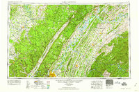 1959 Chattanooga1959 Print · USGSSoutheast Tennessee is shown here during a decade of industrial growth and hydroelectric development. Trace the regional rail networks of the Southern Ry and find landmark sites like Lookout Mountain, Fall Creek Falls State Park, and Chattanooga.
 - 1960 Map of Chattanooga
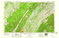 1960 Chattanooga1960 Print · USGSSoutheast Tennessee and the southern Appalachians are shown here at the height of the river-management era. You can trace the valley rail lines and locate Lookout Mountain and the expansive waters of Chickamauga Reservoir.
 - 1960 Map of Welchland, 1961 Print
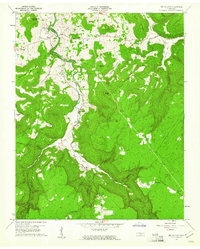 1960 Welchland1961 Print · USGSIn the early sixties, the Rocky River corridor defined the border and lifestyle of the Van Buren and Warren County line. Local historians can trace family roots at Drake Cem, find the site of Welchland School, or locate the Quarry near White Hill.2 unique versions available
 - 1964 Map of Chattanooga
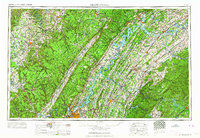 1964 Chattanooga1964 Print · USGSSoutheast Tennessee and the western Carolinas appear in the mid-sixties as a powerhouse of river-driven industry and mountain wilderness. Genealogists and historians can trace rail-town lineages along the Southern Ry or locate family landmarks near Watts Bar Lake and Tellico Plains.
 - 1981 Map of Mc Minnville
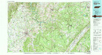 1981 Mc Minnville1981 Print · USGSThe Cumberland Plateau and the Sequatchie Valley meet in this early 1980s look at Warren and White Counties. Researchers can locate vanished rural landmarks like Hutchins College, the old rail stops of the Tennessee Central, and Mount Zion Cem.
 - 2010 Map of Welchland, 2010 Print
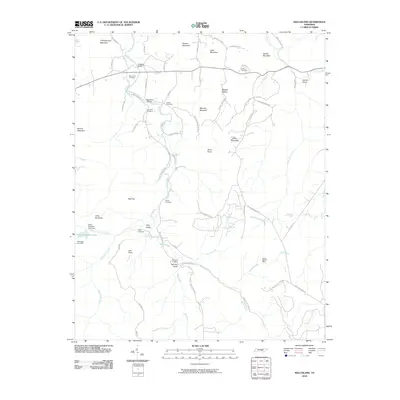 2010 Welchland2010 Print · USGSThe Tennessee highlands near Warren County are mapped here in the early twenty-first century, showing a landscape defined by the Rocky River and its many branches. Genealogists and historians can trace numerous family burial grounds like Boyd Cemetery and New Rocky Cemetery, alongside the site of the Rocky Branch Mine.
 - 2013 Map of Welchland, 2013 Print
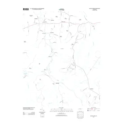 2013 Welchland2013 Print · USGSThe Tennessee highlands near the Rocky River appear in this early twenty-first-century survey of the Cumberland Plateau. Local researchers can trace family landmarks and river crossings such as Goodbar Bridge, Laurelburg, and the Hillis Cemetery.
 - 2016 Map of Welchland, 2016 Print
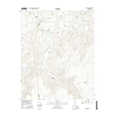 2016 Welchland2016 Print · USGSThe border of Warren and Van Buren counties comes alive in the mid-2010s, showing a landscape of high ridges and river valleys. Researchers can trace family history through local landmarks like Crain Hill Cem, the Goodbar Bridge, and the settlement of Riverview.
 - 2019 Map of Welchland, 2019 Print
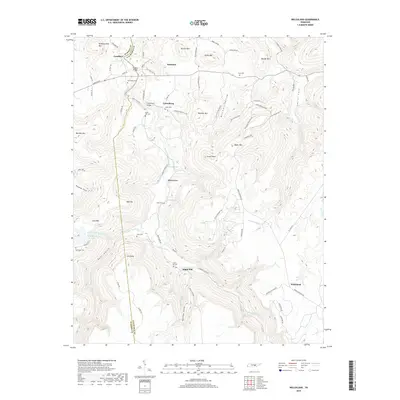 2019 Welchland2019 Print · USGSWarren and Van Buren counties meet along the Rocky River in this modern survey of the Tennessee highlands. Genealogists can trace family sites across the ridges, including White Hill Cem, Drake Cem, and the settlement of Goodbars.
 - 2022 Map of Welchland, 2022 Print
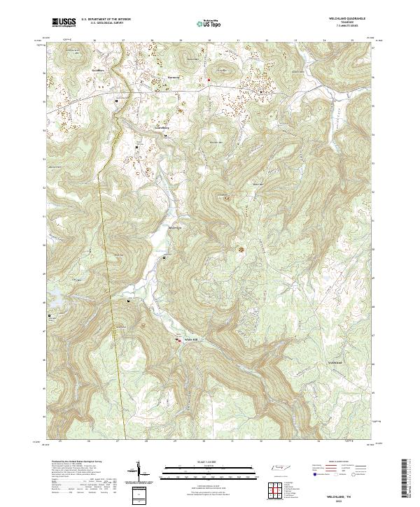 2022 Welchland2022 Print · USGSVan Buren and Warren counties meet along the winding Rocky River in this detailed modern topographic study. Genealogists can locate several family burial sites including New Rocky Cem, Crain Hill Cem, and Drake Cem near the settlements of Harmony and Laurelburg.
End of results
Showing maps 1-14 of 14
Top cities near Laurelburg
- McMinnville historical maps
- Sparta historical maps
- Smithville historical maps
- Spencer historical maps
- Doyle historical maps
Frequently asked questions
- What are the different types of historical maps available for Laurelburg?
- What is the oldest map of Laurelburg?
- Where can I purchase historical maps of Laurelburg for my home or office?
- Where can I download high-res historical maps of Laurelburg?
- Are there historical topographic maps available for Laurelburg?
- Is there historical aerial imagery available for Laurelburg?
- Where are historical maps of Laurelburg sourced from?