2020s Maps of Weakley County, Tennessee
Explore 18 historic maps of Weakley County from the 2020s. These maps offer a rare glimpse into what life looked like during the 2020s — showing old roads, neighborhoods, homes, and landmarks that have changed or disappeared over time.
Whether you're researching your family's past, planning a metal detecting trip, or studying how Weakley County's landscape evolved across the 2020s, these high-resolution maps are a powerful tool for exploring the history of this region.
- Focus on a specific era: All maps on this page are from the 2020s, giving you a focused view of this time period.
- See what’s changed: Compare century-old streets, trails, and buildings to today's modern landscape using overlays and satellite layers.
- Research with precision: Use these maps for genealogy, historical research, land use analysis, or educational projects.
- View, download, or print: Maps are fully viewable online in high resolution, and can be downloaded or printed for your own records.
Start exploring Weakley County's history through authentic maps from the 2020s. This is your window into the past.
Weakley County, TN maps
(18)- 2022 Map of Latham, 2022 Print
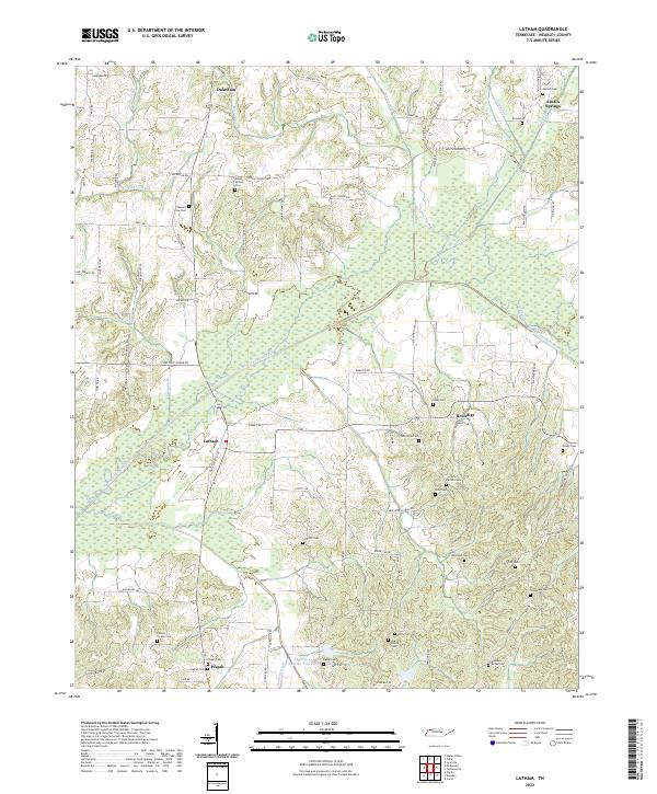 2022 Latham2022 Print · USGSWeakley County's rural northern reaches are mapped here in the early twenty-first century, showing a landscape defined by the North Fork Obion River. Family historians can trace numerous ancestral sites including Matheny Grove Cem, Dukedom, and Hatler Cem.
 - 2022 Map of Palmersville, 2022 Print
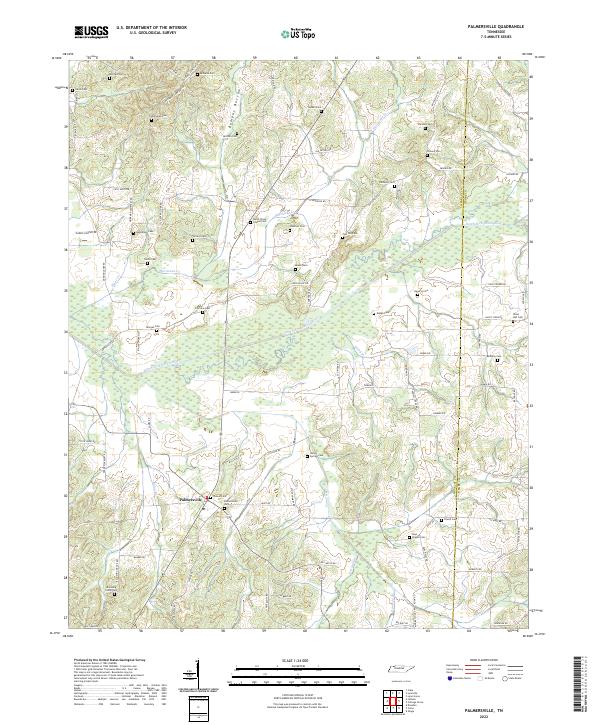 2022 Palmersville2022 Print · USGSThe rural Tennessee landscape around Palmersville comes into sharp focus in this recent survey, showcasing a high density of family burial sites. Genealogists and historians can trace lineage across Bumpas Bottom to Hays Chapel Cem or Lemon Springs Cem.
 - 2022 Map of Pillowville, 2022 Print
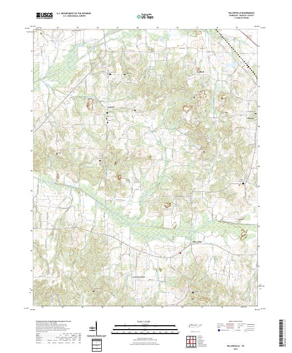 2022 Pillowville2022 Print · USGSWeakley County settlement and river drainage are detailed here in this recent survey of the Tennessee interior. Researchers can trace family history through numerous rural landmarks like Sandhill, Crowley Store, and local burial grounds including Beech Springs Cem.
 - 2022 Map of Greenfield, 2022 Print
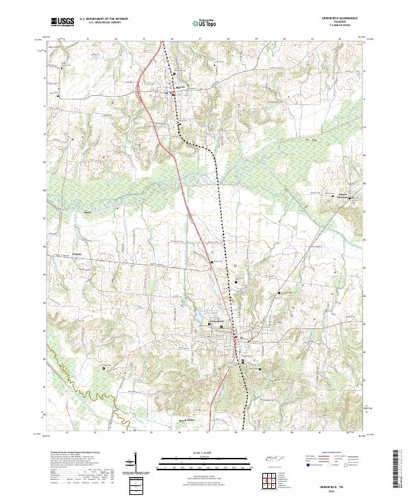 2022 Greenfield2022 Print · USGSWeakley County settlement and the intricate drainage of the Obion River basin are captured here in the early twenty-first century. Genealogists can trace family locations near numerous local burial sites like Highland Cem, Rose Hill Cem, and Old Hall Cem.
 - 2022 Map of Bradford, 2022 Print
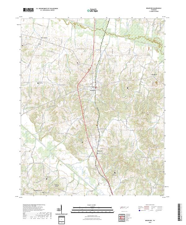 2022 Bradford2022 Print · USGSThe West Tennessee countryside around Bradford is documented here in the early 2020s, showing a landscape defined by the South Fork Obion River. Genealogists can trace family roots through numerous local burial sites including Shiloh Cem, Bruff Cem, and Mount Pisgah Baptist Church Cem.
 - 2022 Map of Rutherford, 2022 Print
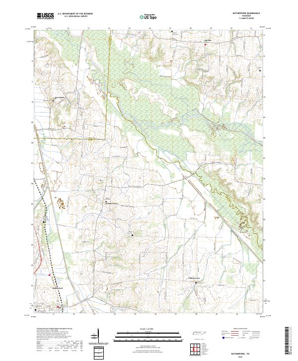 2022 Rutherford2022 Print · USGSWest Tennessee’s river bottomlands and rural communities are captured here in the 2020s. Researchers can locate family landmarks like the Keathley and Peel Family Cem, Beech Grove Cem, and the small settlement of Sidonia.
 - 2022 Map of Gardner, 2022 Print
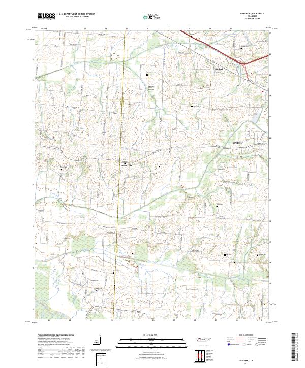 2022 Gardner2022 Print · USGSThe borderlands of Obion and Weakley counties come into focus in this recent survey of rural Tennessee. Genealogists can trace family landmarks through more than a dozen local burial sites such as Callicott Cem, McKinney Cem, and Holland Cem near Mount Pelia.
 - 2022 Map of Trezevant West, 2022 Print
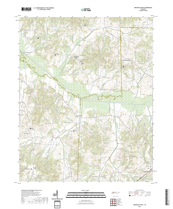 2022 Trezevant West2022 Print · USGSWest Tennessee’s rural landscapes are documented here just after the turn of the twenty-first century. Genealogists can trace family landmarks like the Bland Family Cem and the settlement at Christmasville near the South Fork Obion River.
 - 2022 Map of McConnell, 2022 Print
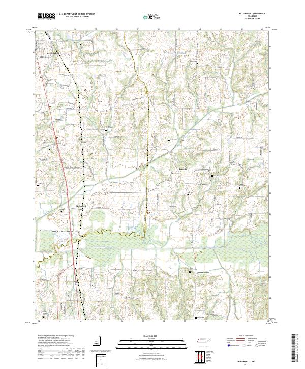 2022 McConnell2022 Print · USGSThis rural corridor of Weakley County and Obion County is shown in 2022 as it surrounds the meandering North Fork Obion River. Researchers can trace local lineage through a dense concentration of burial sites like New Hope Cem, Pate Cem, and Rucker Cem.
 - 2022 Map of Trezevant East, 2022 Print
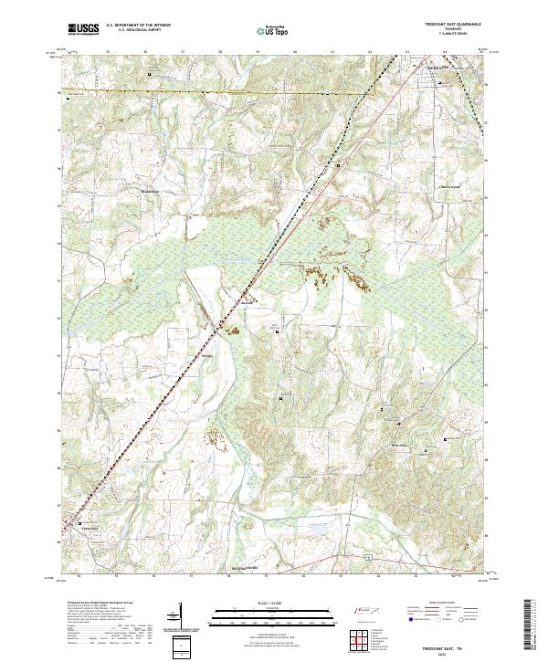 2022 Trezevant East2022 Print · USGSCarroll County is captured here in the early twenty-first century, showing the rural communities between Trezevant and McKenzie. Genealogists can locate numerous burial sites and small settlements, from Saint Johns Cem and New Zion to the quiet crossroads at Hinkledale.
 - 2022 Map of Cuba, 2022 Print
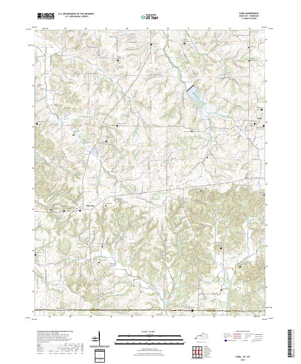 2022 Cuba2022 Print · USGSThe Kentucky and Tennessee state line runs through this rural landscape in the early 2020s, dominated by small settlements and family farms. Genealogists can locate dozens of historic burial sites such as Colley Family Cem, Pilot Oak, and Old Bethlehem Cem.
 - 2022 Map of Dresden, 2022 Print
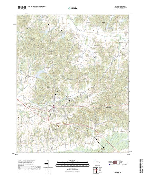 2022 Dresden2022 Print · USGSDresden and the surrounding Weakley County countryside are shown here in the early twenty-first century as a landscape of interconnected family farms and small communities. Researchers can locate dozens of historic burial sites, including Siloam Cem and Bradberry Cem, or trace the numerous reservoirs along Cypress Cr.
 - 2022 Map of McKenzie, 2022 Print
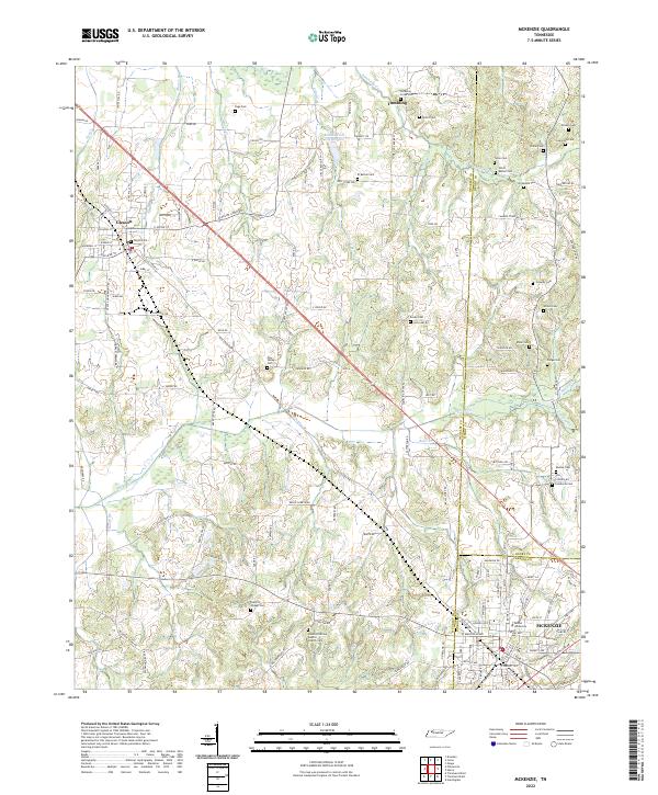 2022 McKenzie2022 Print · USGSNorthwest Tennessee’s rural landscapes are captured here in the early twenty-first century as the borders of Weakley, Henry, and Carroll counties meet. Genealogists and local historians can trace family ties through numerous landmarks like Bethel University, Everett Chapel Cem, and Smyth Cem.
 - 2022 Map of Martin, 2022 Print
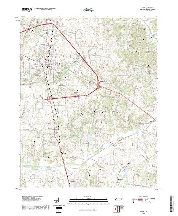 2022 Martin2022 Print · USGSWeakley County at the start of the 2020s shows a landscape where university life and rural heritage intersect. Genealogists can trace family lines through dozens of burial sites including Yellow Fever Cem, Old Salem Cem, and the Rice - Underwood Cem.
 - 2022 Map of Harris, 2022 Print
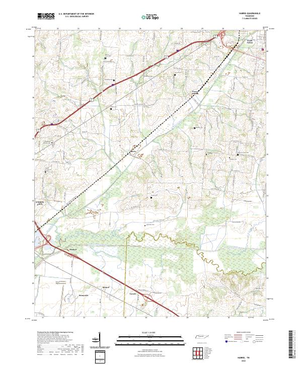 2022 Harris2022 Print · USGSObion County farmland and the Obion River bottomlands are captured here in the early twenty-first century. Researchers can trace ancestral sites through numerous small burial grounds like the Morris Slave Cem and Johnson Grove Cem or locate the quiet crossroads of Pierce Station and Harris.
 - 2022 Map of Como, 2022 Print
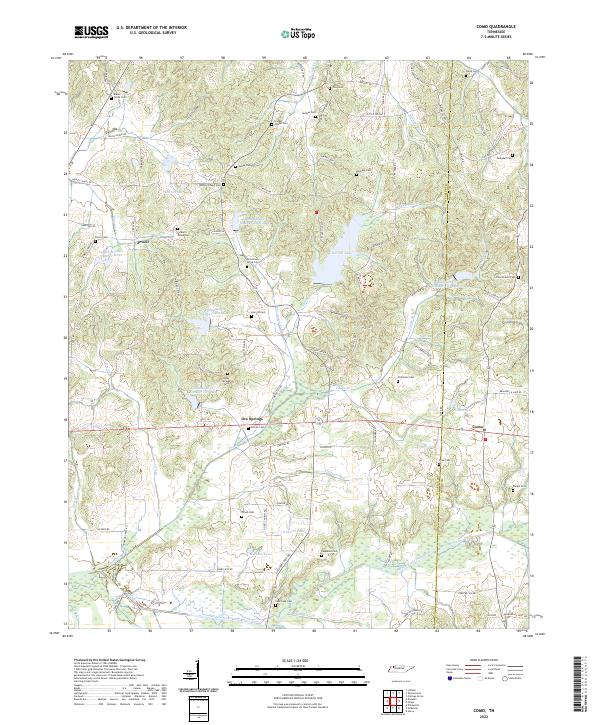 2022 Como2022 Print · USGSWeakley and Henry counties come together in this rural Tennessee landscape during the early 2020s, defined by the winding Middle Fork Obion River. Researchers can trace deep family roots through numerous local sites like Jolley Springs Cem, Allman Cem, and the settlement of Ore Springs.
 - 2022 Map of Water Valley, 2022 Print
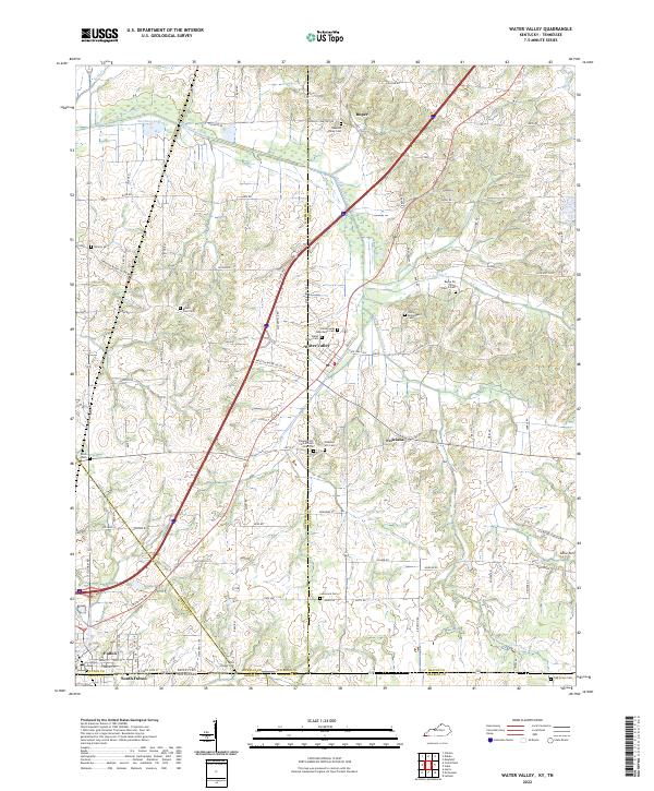 2022 Water Valley2022 Print · USGSThe borderlands of Kentucky and Tennessee come into focus in the early 2020s, centered on the community of Water Valley. Researchers can trace dozens of local burial sites and landmarks including Pleasant Hill Cemetery African American, Camp Beauregard Cemetery, and the historic Feliciana settlement area.
 - 2022 Map of Lynnville, 2022 Print
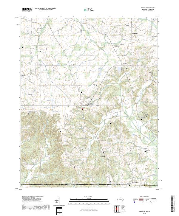 2022 Lynnville2022 Print · USGSThe Kentucky-Tennessee borderlands come alive in this survey of the region south of Lynnville. Genealogists can trace family connections through dozens of local burial sites, including the Old Beech Grove Cem, Rhodes Chapel Cem, and Mooney Cem.
End of results
Showing maps 1-18 of 18
Top cities of Weakley County
- Martin historical maps
- Dresden historical maps
- Greenfield historical maps
- Gleason historical maps
- Sharon historical maps
Frequently asked questions
- What are the different types of historical maps available for Weakley County?
- What is the oldest map of Weakley County?
- Where can I purchase historical maps of Weakley County for my home or office?
- Where can I download high-res historical maps of Weakley County?
- Are there historical topographic maps available for Weakley County?
- Is there historical aerial imagery available for Weakley County?
- Where are historical maps of Weakley County sourced from?