2000s (21st Century) Maps of Weakley County, Tennessee
Explore 90 historic maps of Weakley County from the 2000s (21st Century). These maps offer a rare glimpse into what life looked like during the 2000s — showing old roads, neighborhoods, homes, and landmarks that have changed or disappeared over time.
Whether you're researching your family's past, planning a metal detecting trip, or studying how Weakley County's landscape evolved across the 2000s, these high-resolution maps are a powerful tool for exploring the history of this region.
- Focus on a specific era: All maps on this page are from the 2000s, giving you a focused view of this time period.
- See what’s changed: Compare century-old streets, trails, and buildings to today's modern landscape using overlays and satellite layers.
- Research with precision: Use these maps for genealogy, historical research, land use analysis, or educational projects.
- View, download, or print: Maps are fully viewable online in high resolution, and can be downloaded or printed for your own records.
Start exploring Weakley County's history through authentic maps from the 2000s. This is your window into the past.
Weakley County, TN maps
(90)- 2010 Map of Latham, 2010 Print
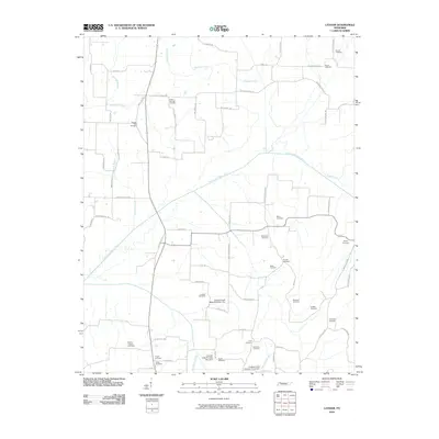 2010 Latham2010 Print · USGSWeakley County farmland and creek bottoms are documented here during the early twenty-first century. Researchers can trace numerous local burial sites like Good Springs Cemetery and Parrish Cemetery or follow the path of the North Fork Obion River.
 - 2010 Map of Harris, 2010 Print
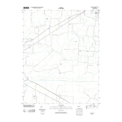 2010 Harris2010 Print · USGSObion County's river-bottom lands and upland farms are captured here during a period of modern aerial surveying. Genealogists can locate several family burial sites, including the Morris Slave Cemetery, Pierce Cemetery, and Arnold Cemetery.
 - 2010 Map of McKenzie, 2010 Print
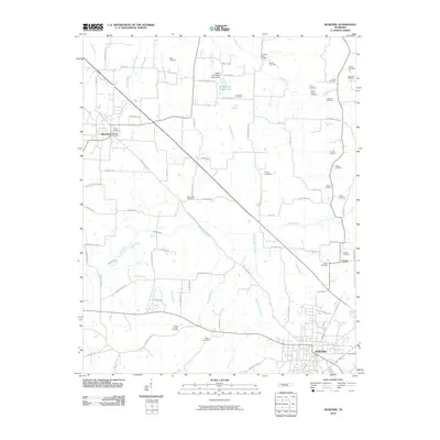 2010 McKenzie2010 Print · USGSMcKenzie and Gleason appear in this contemporary survey of Carroll County's rural landscape at the start of the 2010s. Genealogists can locate numerous family burial sites, including the Page Cemetery, Glisson Cemetery, and Smyth Cemetery.
 - 2010 Map of Palmersville, 2010 Print
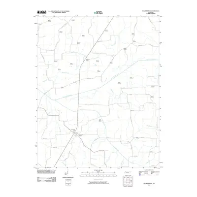 2010 Palmersville2010 Print · USGSWeakley County at the start of the 2010s reveals a deeply rooted rural community shaped by the meandering North Fork Obion River. Genealogists and historians can trace numerous family burial grounds including Lemon Springs Cemetery, Union Hall Cemetery, and the Palmersville Post Office.
 - 2010 Map of Lynnville, 2010 Print
 2010 Lynnville2010 Print · USGSThe Kentucky-Tennessee border at the start of the twenty-first century reveals a landscape deeply connected to its pioneer ancestry. Genealogists can trace family lines through numerous sites like Boydsville Cemetery, Tibbs Cemetery, and Gilliam Cemetery.
 - 2010 Map of Pillowville, 2010 Print
 2010 Pillowville2010 Print · USGSWeakley County at the start of the 2010s reveals a rural landscape defined by the Middle Fork Obion River and a network of historic family cemeteries. Genealogists can locate several burial sites including Simms Cemetery, Higgs Cemetery, and the Meridian Cemetery near the settlement of Liberty.
 - 2010 Map of Trezevant East, 2010 Print
 2010 Trezevant East2010 Print · USGSCarroll County farm country is documented here at the start of the millennium, showing a landscape defined by the South Fork Obion River and family-named homesteads. Genealogists can trace local history through numerous burial sites like Union Academy Cemetery and Wilder Cemetery.
 - 2010 Map of McConnell, 2010 Print
 2010 McConnell2010 Print · USGSNorthwest Tennessee’s rural landscape is captured here in the early twenty-first century, centered on the fertile valley of the North Fork Obion River. Researchers can trace deep family roots through numerous local sites including Mount Moriah Cemetery, Obion Chapel Cemetery, and Harold Muzzall Lake.
 - 2010 Map of Water Valley, 2010 Print
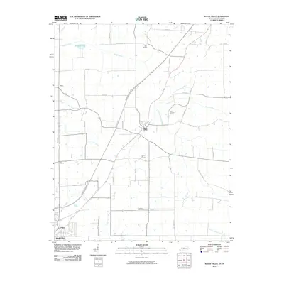 2010 Water Valley2010 Print · USGSWestern Kentucky and Tennessee farmland is documented here in the era following the development of the Purchase Pkwy. Genealogists can locate several family and community landmarks, such as Camp Beauregard Cemetery, Water Valley, and Stephens Lake.
 - 2010 Map of Dresden, 2010 Print
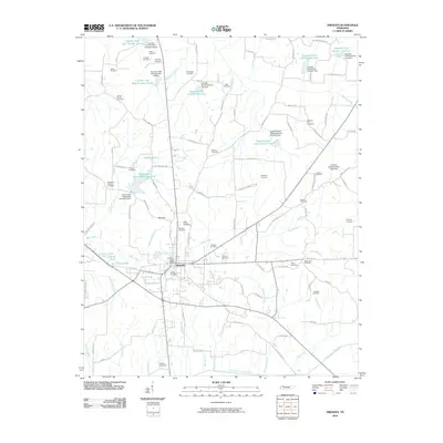 2010 Dresden2010 Print · USGSDresden and its surrounding Weakley County farmsteads are captured here at the dawn of the 2010s. Local researchers can locate dozens of historic family plots such as Jinkins-Sheron Cemetery, Malone Cemetery, and the McClains Chapel Cemetery near Red Hill.
 - 2010 Map of Bradford, 2010 Print
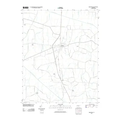 2010 Bradford2010 Print · USGSNorthwestern Tennessee at the start of the 21st century reveals a deep-rooted agricultural landscape centered on the town of Bradford. Genealogists and local historians can trace family ties through numerous rural sites like the Idlewild Post Office and Shiloh Cemetery.
 - 2010 Map of Greenfield, 2010 Print
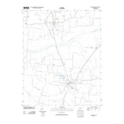 2010 Greenfield2010 Print · USGSWeakley County at the start of the 2010s reveals a landscape defined by the branching waters of the Obion River and deep-rooted rural communities. Researchers can locate numerous family burial grounds like Hornbeak Cemetery and Old Hall Cemetery, or trace local ties to Sharon and Brocks Chapel.
 - 2010 Map of Martin, 2010 Print
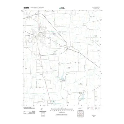 2010 Martin2010 Print · USGSMartin and the University of Tennessee are shown in the first decade of the millennium, surrounded by a rural landscape defined by family legacies. Genealogists can trace dozens of burial sites like Yellow Fever Cemetery and Public Wells Cemetery alongside the watershed lakes of Mud Creek.
 - 2010 Map of Trezevant West, 2010 Print
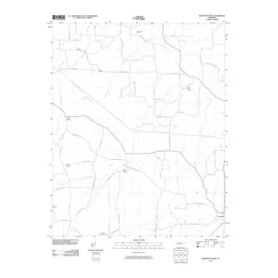 2010 Trezevant West2010 Print · USGSCarroll County's rural landscape is captured here during the early twenty-first century, showing the town of Trezevant and its surrounding farms. Genealogists can trace family roots through numerous burial sites including Brock Cemetery and Pleasant Green Cemetery.
 - 2010 Map of Como, 2010 Print
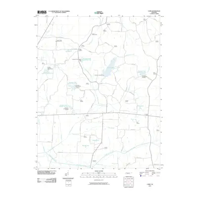 2010 Como2010 Print · USGSWeakley County settlement and water management come into focus in this late-century survey of rural Tennessee. Genealogists can trace family landmarks like Wesley Chapel Cemetery, while collectors can locate the Como Post Office and Garrett Lake.
 - 2010 Map of Gardner, 2010 Print
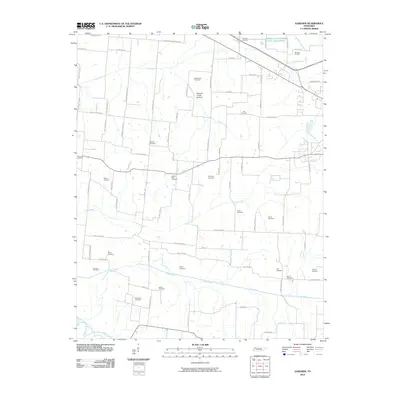 2010 Gardner2010 Print · USGSWeakley County at the start of the 2010s remains a landscape of deep-rooted family history and winding creek bottoms. Researchers can trace dozens of local burial sites like Gardner Cemetery, Taylor Cemetery, and the Mount Pelia Cemetery along rural corridors.
 - 2010 Map of Cuba, 2010 Print
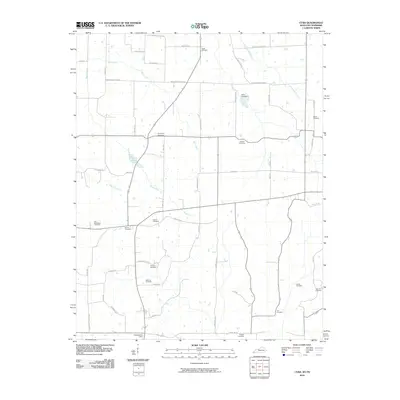 2010 Cuba2010 Print · USGSThe Kentucky-Tennessee borderlands in Graves County come into focus in this recent survey. Genealogists can trace family heritage through numerous burial grounds like Adams Cemetery and Sisson Cemetery, or locate the Dukedom Post Office.
 - 2010 Map of Rutherford, 2010 Print
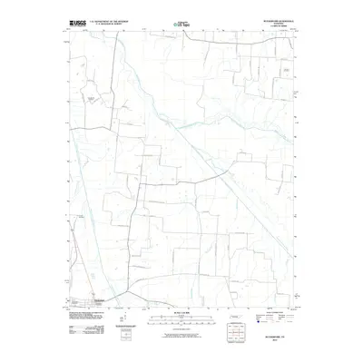 2010 Rutherford2010 Print · USGSRutherford and the surrounding Gibson County bottomlands are shown here in the early twenty-first century as the Obion River system dominates the landscape. Local historians can trace family-named sites like Connell Cemetery and Macedonia Cemetery along the winding Middle Fork Obion River.
 - 2013 Map of Cuba, 2013 Print
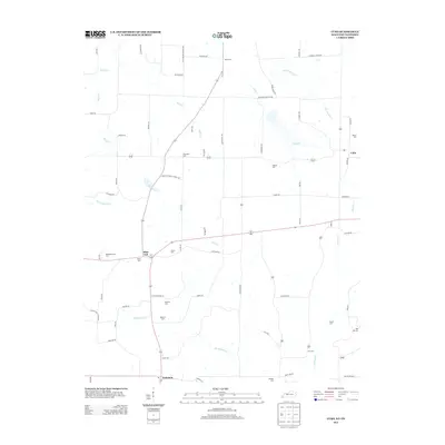 2013 Cuba2013 Print · USGSWestern Kentucky farmland and the Tennessee borderlands are captured in this recent survey. Genealogists can trace family roots through numerous local burial sites including Thompson Cem, Adams Cem, and Old Bethlehem Cem near Pilot Oak.
 - 2013 Map of Lynnville, 2013 Print
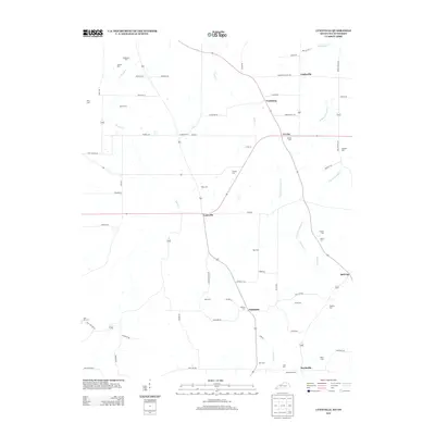 2013 Lynnville2013 Print · USGSGraves County at the Tennessee border maintains its traditional rural character in this recent survey. Local historians can trace family ties through a high density of small burial grounds like Tibbs Cem and Boydsville Cem, alongside settlements like Lynnville and Tri City.
 - 2013 Map of Water Valley, 2013 Print
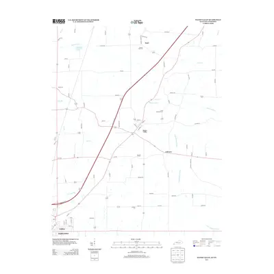 2013 Water Valley2013 Print · USGSWestern Kentucky's agricultural heartland is documented here in the early twenty-first century as modern highways began to bypass historic hamlets. Researchers can trace ancestral sites at Camp Beauregard Cem, the small community of Feliciana, and the banks of the Bayou de Chien.
 - 2013 Map of Harris, 2013 Print
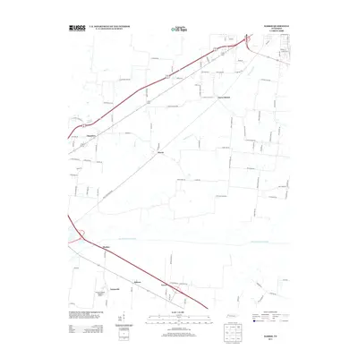 2013 Harris2013 Print · USGSObion County, Tennessee, is captured here in the early twenty-first century, showing a landscape defined by historic hamlets and the North Fork Obion River. Genealogists can trace family-named roads and rural settlements like Pierce Station, Harris, and Chambers.
 - 2013 Map of Gardner, 2013 Print
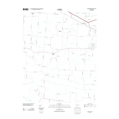 2013 Gardner2013 Print · USGSThe rural countryside north of the Obion River comes into focus in the early twenty-first century, showcasing a landscape defined by meandering creek bottoms and small settlements. Trace family heritage along Taylor Moore Rd or near the communities of Gardner and Mount Pelia.
 - 2013 Map of Pillowville, 2013 Print
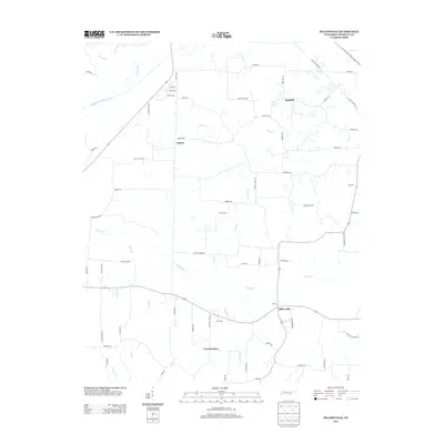 2013 Pillowville2013 Print · USGSWeakley County at the start of the decade reveals a landscape of enduring rural settlements and intricate river tributaries. Genealogists and local historians can trace family-named roads and landmarks like Crowley Store, Pillowville, and the banks of the Middle Fork Obion River.
 - 2013 Map of Greenfield, 2013 Print
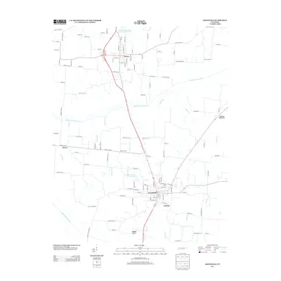 2013 Greenfield2013 Print · USGSWeakley County at the start of the 2010s shows a landscape of established farming towns and managed river bottoms. Researchers can trace family history through community landmarks like Brocks Chapel, the crossroads at Kimery, and rural corridors like Hillis Cemetery Rd.
Showing maps 1-25 of 90
Top cities of Weakley County
- Martin historical maps
- Dresden historical maps
- Greenfield historical maps
- Gleason historical maps
- Sharon historical maps
Frequently asked questions
- What are the different types of historical maps available for Weakley County?
- What is the oldest map of Weakley County?
- Where can I purchase historical maps of Weakley County for my home or office?
- Where can I download high-res historical maps of Weakley County?
- Are there historical topographic maps available for Weakley County?
- Is there historical aerial imagery available for Weakley County?
- Where are historical maps of Weakley County sourced from?