2000s (21st Century) Maps of Gleason, Tennessee
Explore 10 historic maps of Gleason from the 2000s (21st Century). These maps offer a rare glimpse into what life looked like during the 2000s — showing old roads, neighborhoods, homes, and landmarks that have changed or disappeared over time.
Whether you're researching your family's past, planning a metal detecting trip, or studying how Gleason's landscape evolved across the 2000s, these high-resolution maps are a powerful tool for exploring the history of this region.
- Focus on a specific era: All maps on this page are from the 2000s, giving you a focused view of this time period.
- See what’s changed: Compare century-old streets, trails, and buildings to today's modern landscape using overlays and satellite layers.
- Research with precision: Use these maps for genealogy, historical research, land use analysis, or educational projects.
- View, download, or print: Maps are fully viewable online in high resolution, and can be downloaded or printed for your own records.
Start exploring Gleason's history through authentic maps from the 2000s. This is your window into the past.
Gleason, TN maps
(10)- 2010 Map of McKenzie, 2010 Print
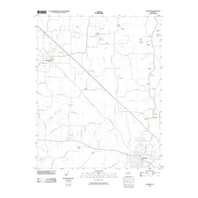 2010 McKenzie2010 Print · USGSCovers Gleason, including McKenzie, Greenhills, and other nearby areas
 - 2010 Map of Pillowville, 2010 Print
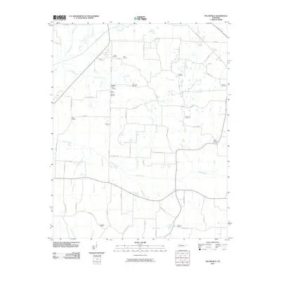 2010 Pillowville2010 Print · USGSCovers Gleason, including Crowley Store, Liberty, and other nearby areas
 - 2013 Map of Pillowville, 2013 Print
 2013 Pillowville2013 Print · USGSCovers Gleason, including Crowley Store, Liberty, and other nearby areas
 - 2013 Map of McKenzie, 2013 Print
 2013 McKenzie2013 Print · USGSCovers Gleason, including McKenzie, Greenhills, and other nearby areas
 - 2016 Map of Pillowville, 2016 Print
 2016 Pillowville2016 Print · USGSCovers Gleason, including Crowley Store, Liberty, and other nearby areas
 - 2016 Map of McKenzie, 2016 Print
 2016 McKenzie2016 Print · USGSCovers Gleason, including McKenzie, Greenhills, and other nearby areas
 - 2019 Map of Pillowville, 2019 Print
 2019 Pillowville2019 Print · USGSCovers Gleason, including Crowley Store, Liberty, and other nearby areas
 - 2019 Map of McKenzie, 2019 Print
 2019 McKenzie2019 Print · USGSCovers Gleason, including McKenzie, Greenhills, and other nearby areas
 - 2022 Map of Pillowville, 2022 Print
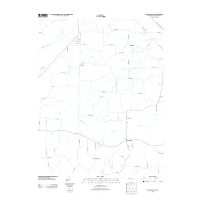
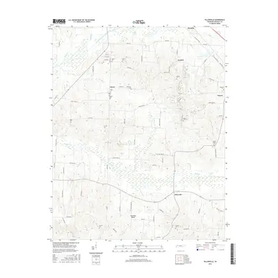
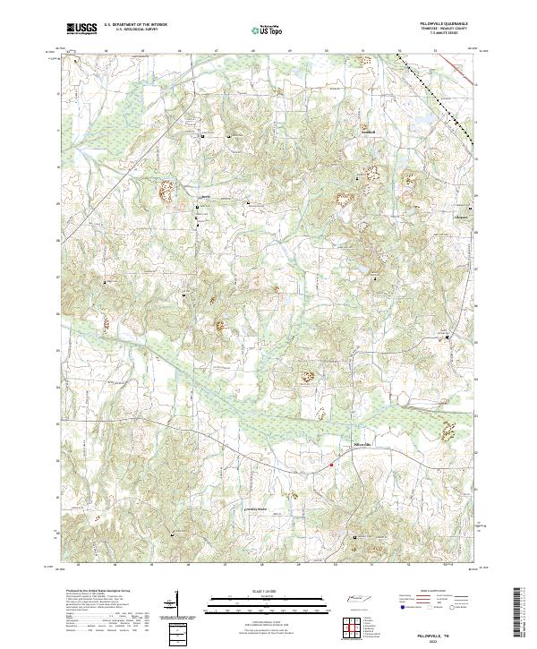 2022 Pillowville2022 Print · USGSWeakley County settlement and river drainage are detailed here in this recent survey of the Tennessee interior. Researchers can trace family history through numerous rural landmarks like Sandhill, Crowley Store, and local burial grounds including Beech Springs Cem.
 - 2022 Map of McKenzie, 2022 Print
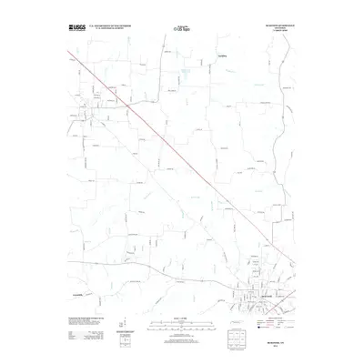
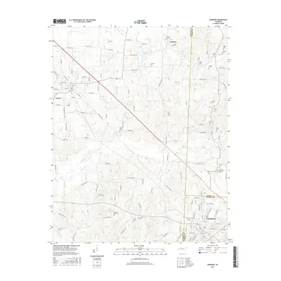
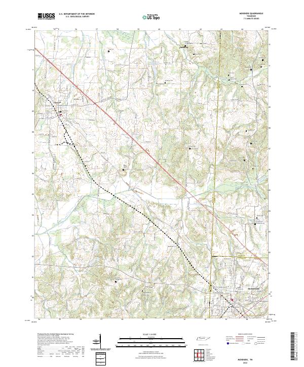 2022 McKenzie2022 Print · USGSNorthwest Tennessee’s rural landscapes are captured here in the early twenty-first century as the borders of Weakley, Henry, and Carroll counties meet. Genealogists and local historians can trace family ties through numerous landmarks like Bethel University, Everett Chapel Cem, and Smyth Cem.
End of results
Showing maps 1-10 of 10
Top cities near Gleason
- Martin historical maps
- McKenzie historical maps
- Huntingdon historical maps
- Dresden historical maps
- Greenfield historical maps
- Bradford historical maps
See more
Frequently asked questions
- What are the different types of historical maps available for Gleason?
- What is the oldest map of Gleason?
- Where can I purchase historical maps of Gleason for my home or office?
- Where can I download high-res historical maps of Gleason?
- Are there historical topographic maps available for Gleason?
- Is there historical aerial imagery available for Gleason?
- Where are historical maps of Gleason sourced from?